
HikingHaggis
Exploring the world one step at a time
Borders Abbeys Way
July 26 - August 3, 2018
Why we loved the Borders Abbeys Way
The Borders Abbeys Way is a 68-mile circular walking route linking the four great ruined Borders abbeys: Kelso, Jedburgh, Melrose, and Kelso. The walk passes plenty of other historic sites, rolling farmland, abundant sheep pastures, two of the Borders’ most famous rivers, and a variety of charming towns and villages.
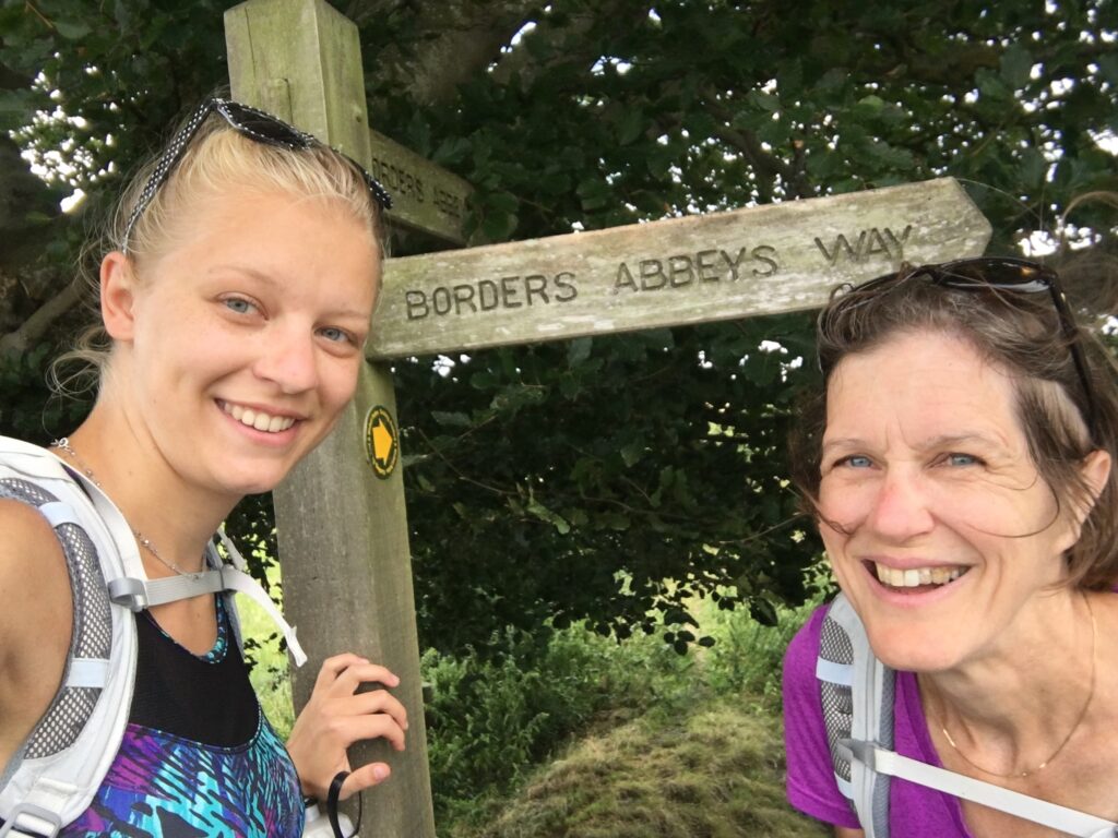
My daughter and I ended up walking it almost by accident. We had decided to take a trip to Scotland to celebrate her college graduation, but I dreaded driving on the left-hand side of the road. We spent hours trying to figure out what the optimal car-free way to tour Scotland would be. In the middle of our online searches we inadvertently found the phrase “self-guided walking holiday”. That sounded promising!
The options for long-distance walking holidays in Scotland are numerous. Since we had never done any kind of long-distance walk before, we wanted to do a relatively short one. We have family in the Borders and liked the idea of seeing so many historic sites, so we decided to hike the Borders Abbeys Way.
Having never done any kind of long-distance walk before, we decided to use the planning services of Absolute Escapes. This Scottish travel company did fantastic job with all the arrangements, so we literally just had to put one foot in front of the other and enjoy the walk! Absolute Escapes arranged not only all of the B&B’s but also the daily luggage transport service so that each night our luggage magically appeared at the new B&B. We did all the walking just with day-packs, carrying only snacks, rain gear, and maps.
This walk was one of the best travel experiences I have ever had.
Overview
Scotland is an amazing place to walk. Because of the right-of-way laws, paths criss-cross the entire country, including through private property.
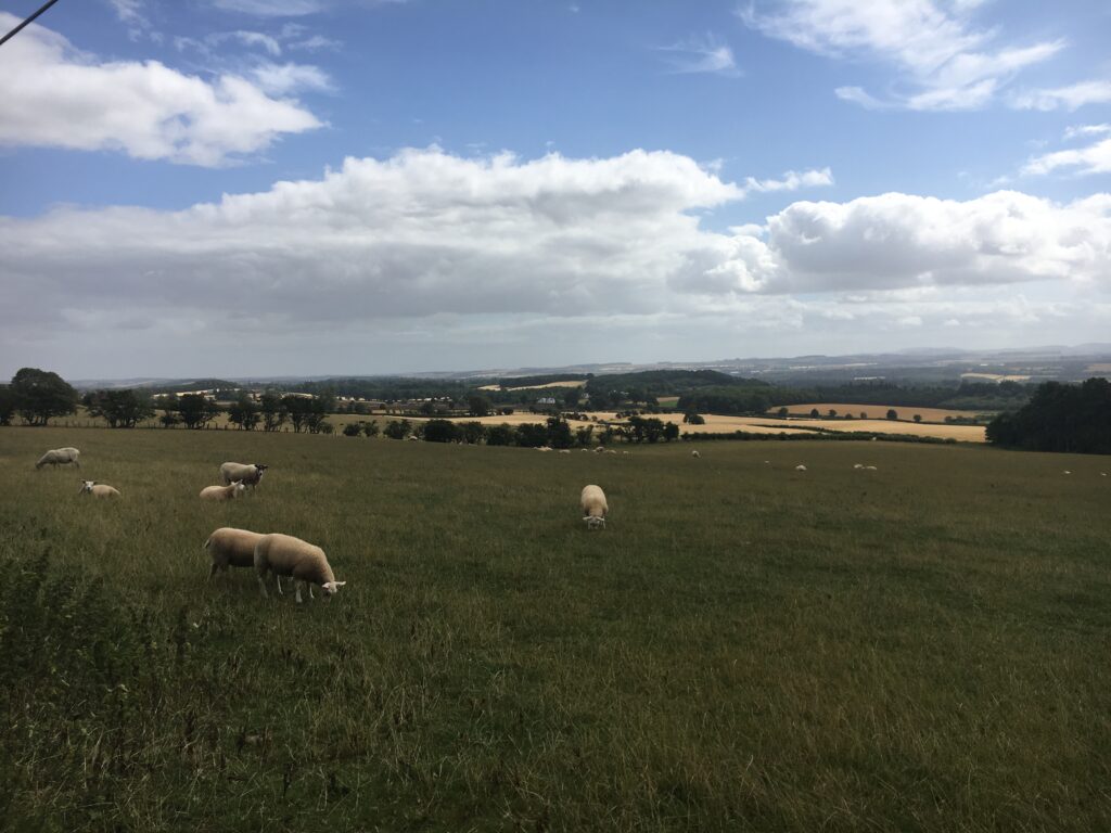
The Borders Abbeys Way connects five relatively major towns in the Borders. In between the towns, the trail goes through quintessential Borders coutryside — rolling farmland, gentle hills, sheep pastures, drystone walls, and remote hamlets. Much of two days are spent walking along the two major rivers in the Borders, the Teviot and the Tweed. Wildflowers abound. And at the end of every day’s walk you can find a spot for a cup of a tea and a scone.
While the Borders Abbeys Way can be walked in only a few days, usually people take five or six days to do the journey. We chose to walk it in five days, but we scheduled an extra rest day in Melrose so we could spend a full day enjoying the historic town and the lovely abbey.
We did the trip in late July – early August, when the days are long and the weather is supposedly less rainy than at other times of year.
The trail is clearly marked almost the entire way, so navigation was only an issue a few times, but we were glad that we uploaded the trail onto Gaia (our GPS app) so that when we lost the trail help was readily available.
We found the Rucksack Readers guidebook for the Borders Abbeys Way to be invaluable. The sections on flora and fauna were a resource we used extensively.
Our Itinerary
- Day 0 (7/26) Jedburgh (Meadhon Guest House)
- Day 1 (7/27) Jedburgh to Hawick — 14.5 miles (Teviotside Guest House)
- Day 2 (7/28) Hawick to Selkirk — 12 miles (The Glen Hotel)
- Day 3 (7/29) Selkirk to Melrose — 10 miles (Braidwood Guest House)
- Day 4 (7/30) Rest day in Melrose
- Day 5 (7/31) Melrose to St. Boswell’s via the Eildons — 10 miles (Buccleuch Arms Hotel)
- Day 6 (8/01) St. Boswell’s to Kelso –10 miles (Inglestone Guest House)
- Day 7 (8/02) Kelso to Jedburgh — 13.5 miles (Meadhon Guest House)
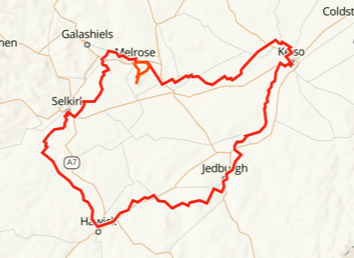
Day 1 Jedburgh to Hawick
- Distance: 13.2 miles
- Weather: sunny!
- Highlights: Jedburgh Abbey, the village of Denholm, climbing the open fields up Black Law, the amazing views
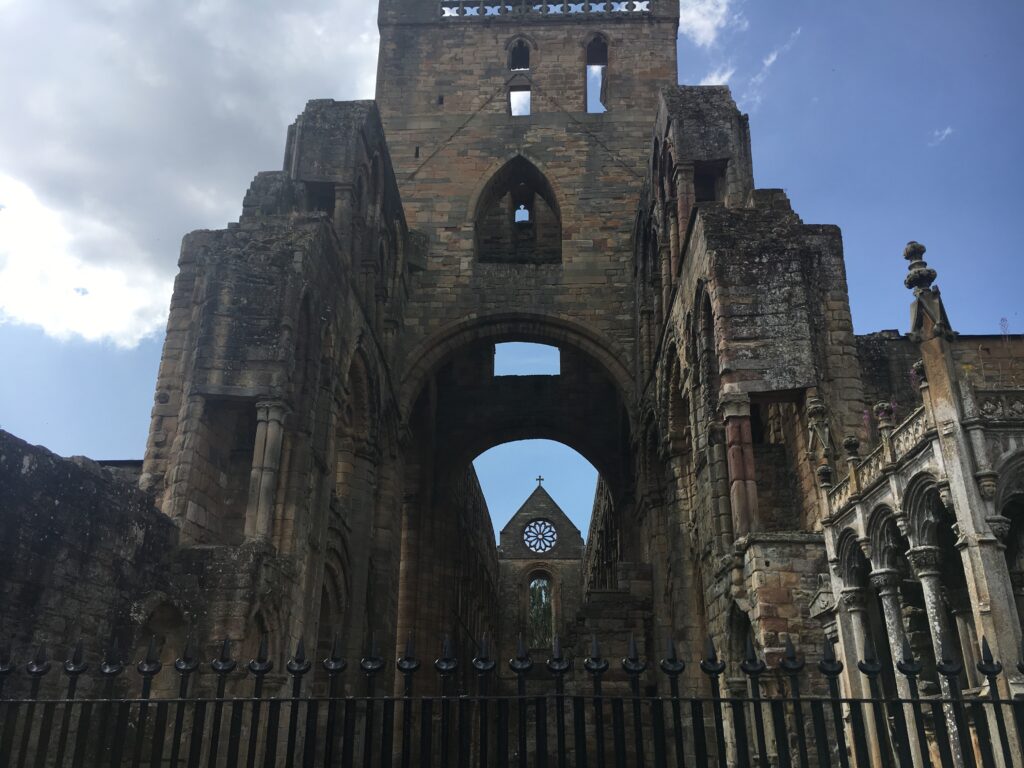
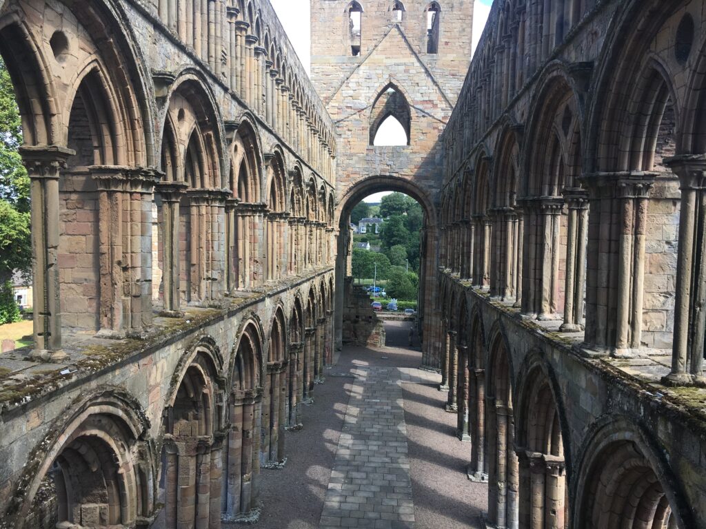
We started our first morning in the lovely market town of Jedburgh. Jedburgh is located on a hill overlooking the Jed Water a mere ten miles from the English border. Jedburgh Abbey was founded in 1138 by King David I (who seemed to spend a lot of time founding abbeys) for the Augustinian canons. Because of its location on the border the abbey has seen many cross-border raids and battles. King Edward I not only stayed in Jedburgh for a while but even used the roof of the abbey in his armament. Extensive attacks in the 15th and 16th centuries and then the Protestant Reformation led to its demise.
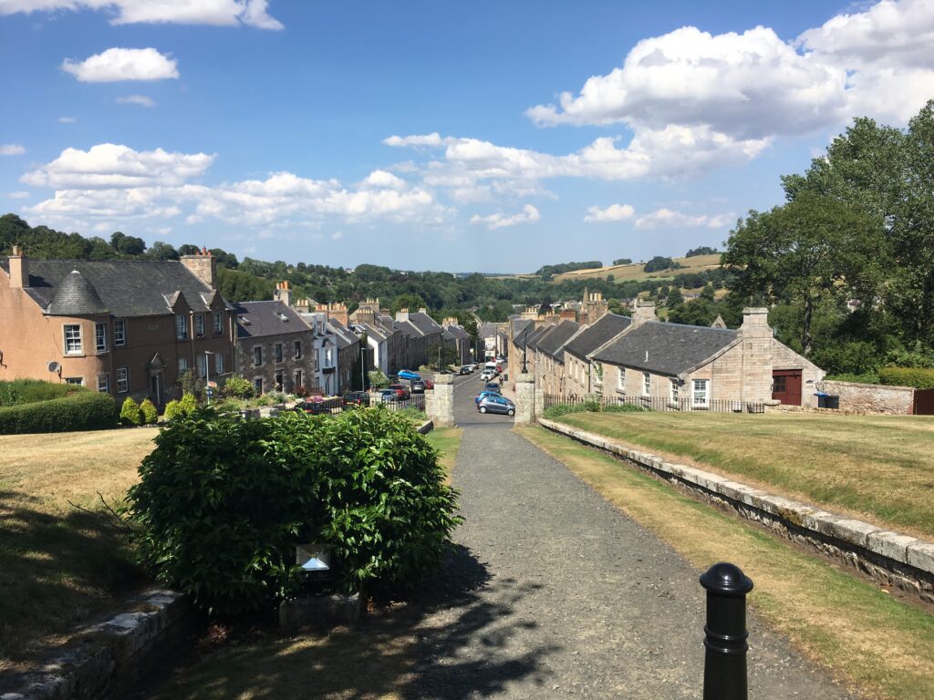
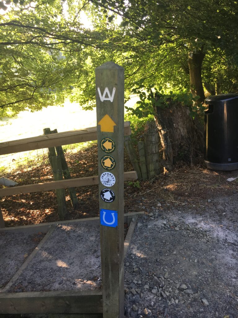
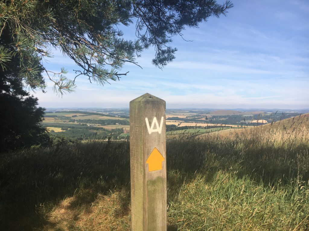
Jedburgh is located on a steep hill with the abbey near the bottom adjacent to the Jed Water, and the Jedburgh Castle Jail and Museum at the top. We started the Borders Abbeys Way by leaving our B&B (on the right as you head down the hill) and walking up from the charming town of Jedburgh. We soon found our first Borders Abbeys Way signpost! The symbol for the Borders Abbeys Way is the W with the crossbar A in the middle of it, the logo at the top of the post.
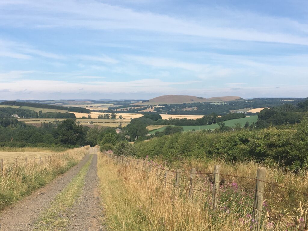
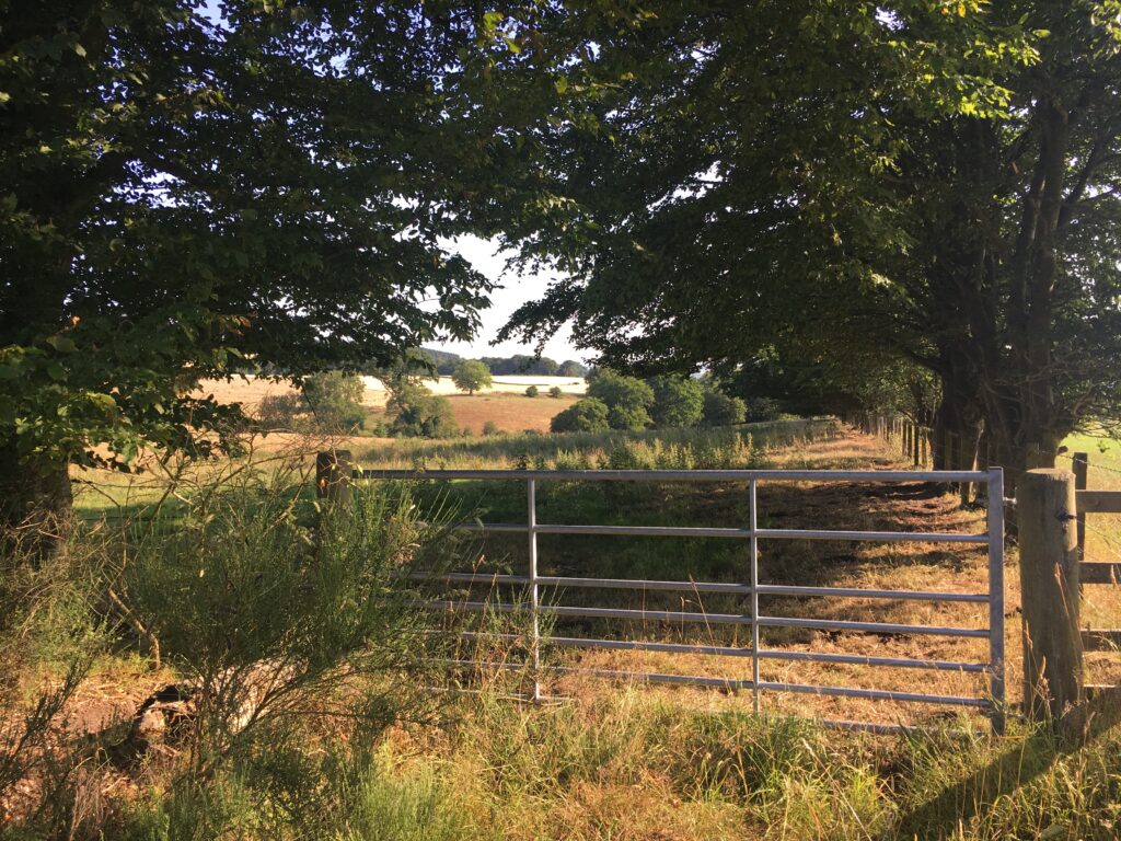
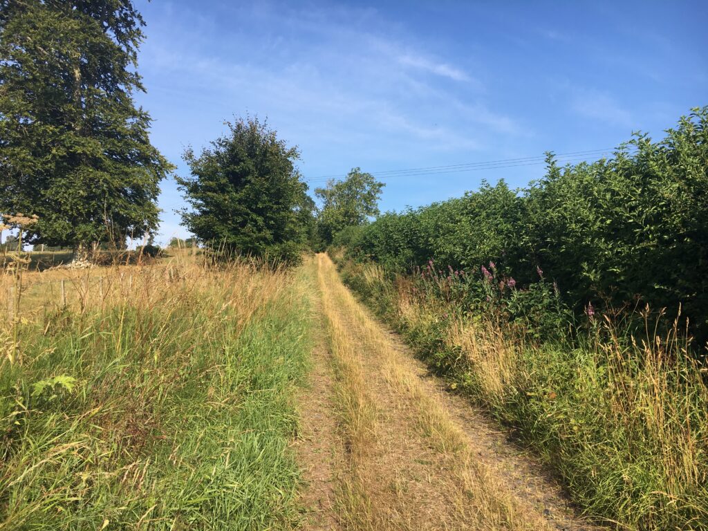
On our first morning we walked through rolling farmland. We climbed up the shoulder of Black Law, which is the highest spot of this part of the walk. The expansive views were impressive.
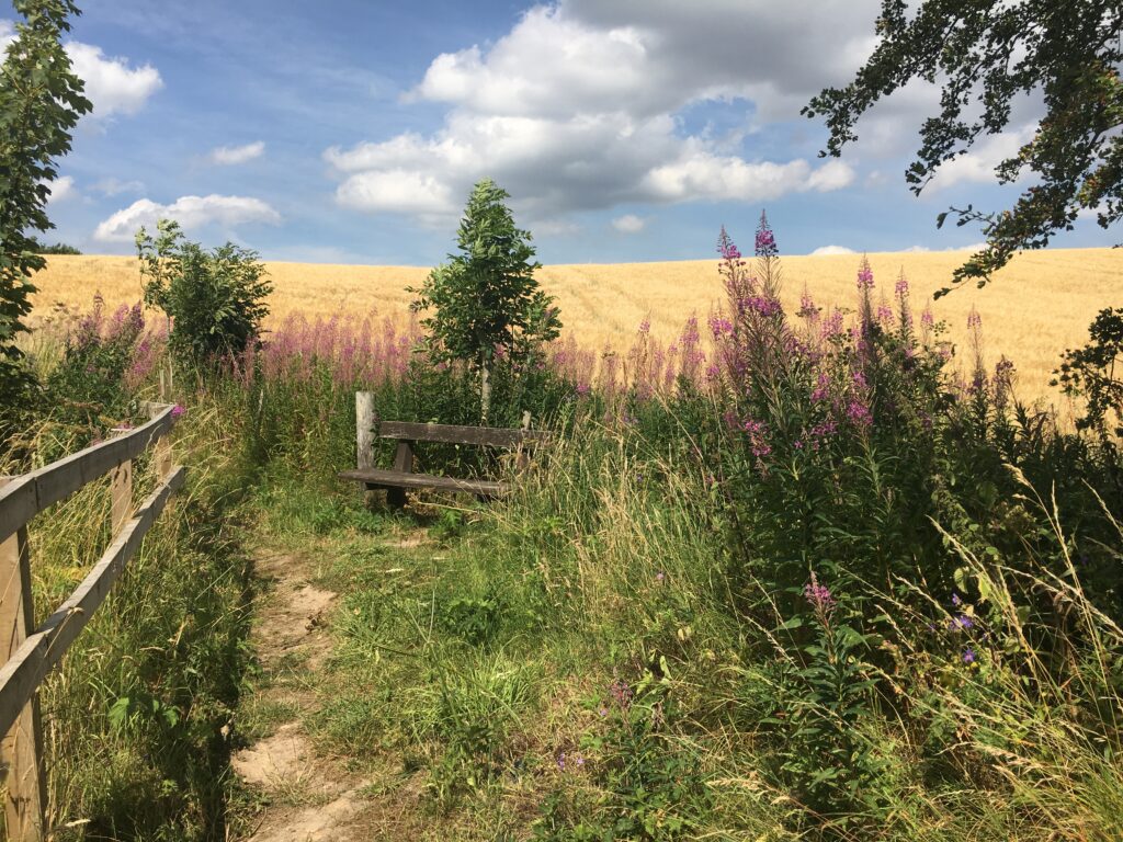
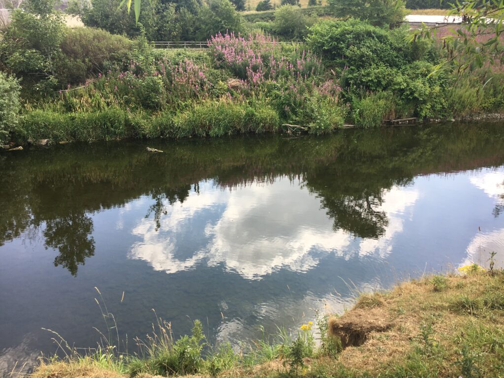

We passed the tiny hamlet of Bedrule (so named because of the Rule Water — Rule means “roaring”, which the river apparently does when the water is high.) We walked through the village of Denholm and found a cute tea shop. It was quite warm, so we had rhubarb soda rather than the more traditional hot tea. Denholm has a huge elegant town common. We walked by the house of John Leyden, a poet and oriental scholar. Denholm is located on the Teviot, but there was no bridge in the 18th century so apparently people used stilts to cross the river!.
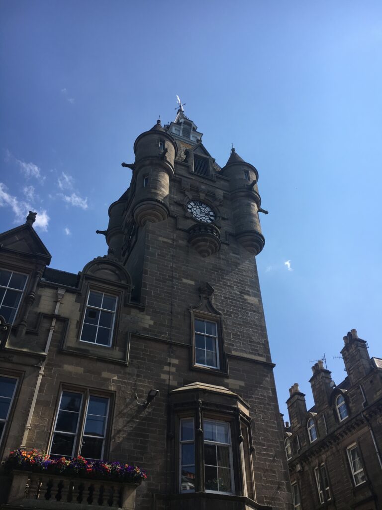
Eventually we arrived in Hawick, the largest and most industrial of all the Borders towns. In the late 18th century someone introduced a knitting loom to the area, and since then Hawick has had extensive woolen mills. The town still produces high-end woolen cloth. We stopped and visited a woolen mill center that was open to tourists. My grandfather ran a woolen mill for a while, so it was fascinating to me to learn more about the process of how wool becomes fine cloth.
Day 2 Hawick to Selkirk
- Distance: 14.5 miles
- Weather: cloudy, rain in the afternoon
- Highlights: views near Drinkstone Hill, wallking through the Woll Golf Course in the rain, cattle grids, Hartwoodmyres Wood, the dovecot for The Haining, and a warm cup of tea
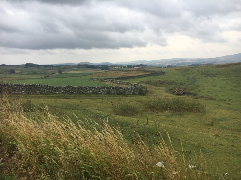
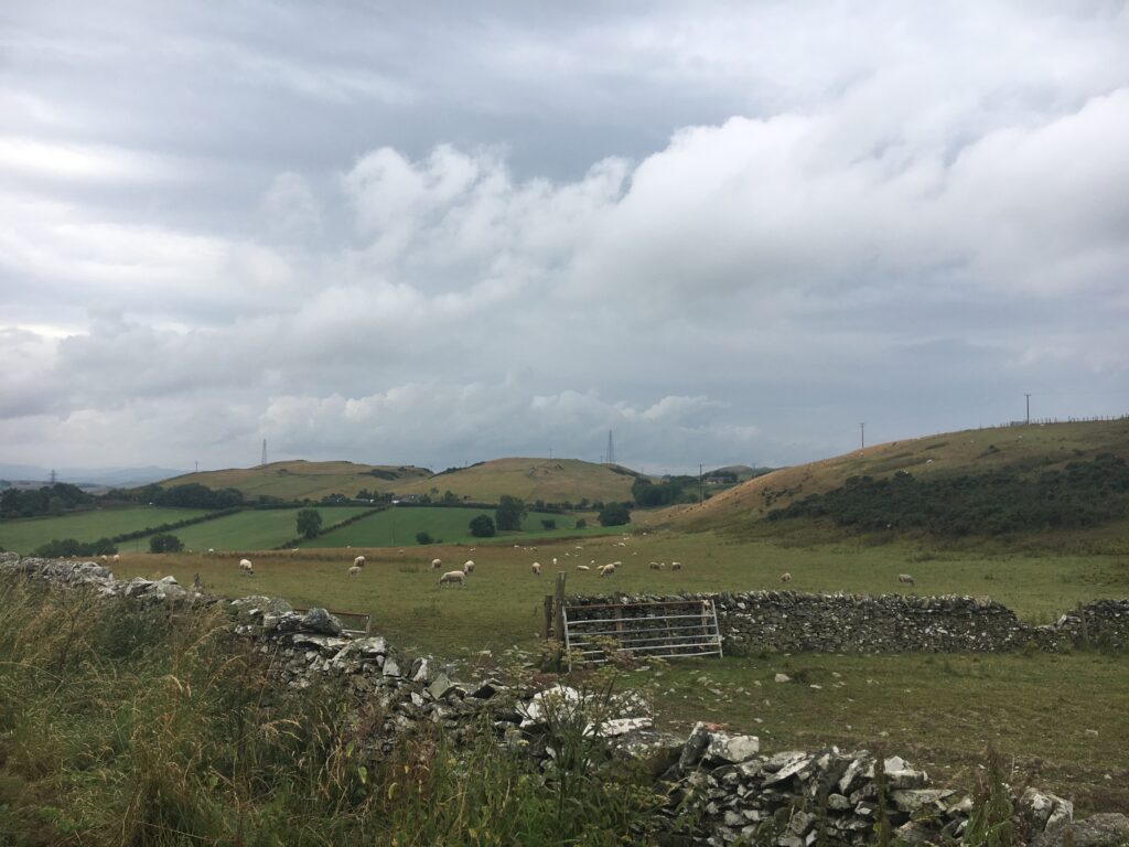
We spent the morning climbng out of Hawick onto Drinkstone Hill. We were surrounded by open fields, and we followed a particular stone wall for nearly a mile. The sheer amount of labor required to build all the stone walls that criss-cross Scotland is mind-boggling!
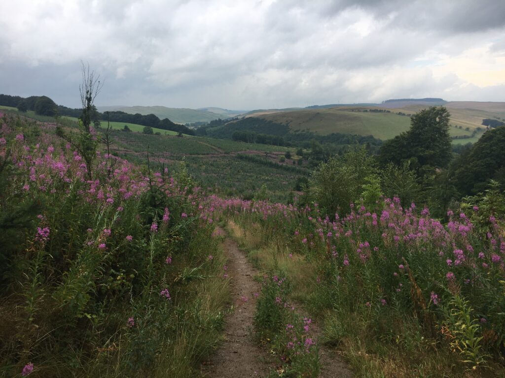
Despite the gray weather, the views were amazing. We got a bit lost when the path went through Salenside Farm — the path literally zig-zagged between the farm buildings, and it was hard to follow it! We walked through the Woll Golf Course in the rain, impressed that in Scotland people play golf even in the pouring rain, just under very large umbrellas!
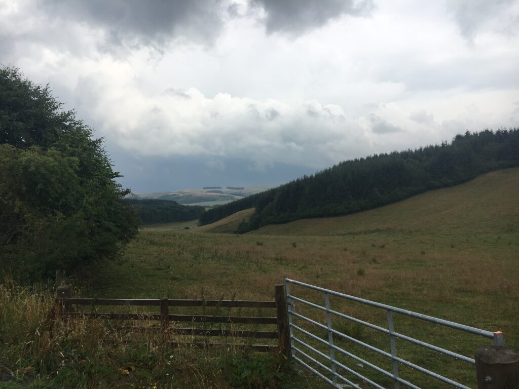
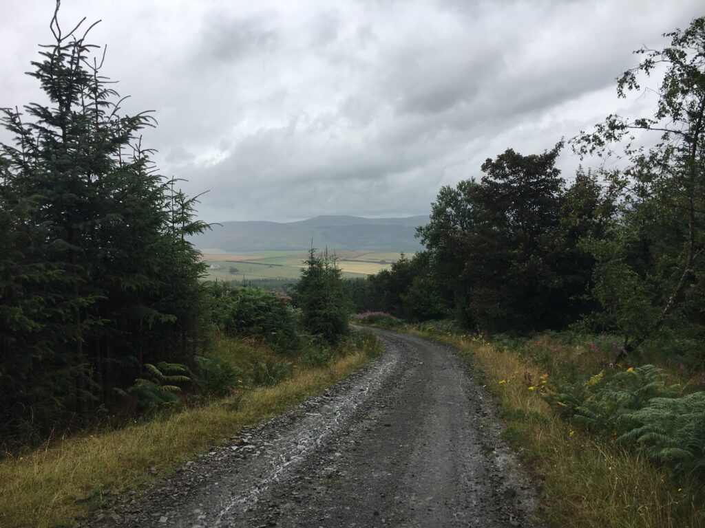
The path ascended gently for most of the day, reaching the highest point of the entire Way in the Hartwoodmyres Woods. These woods are mostly run commercially. The coniferous woods were very dark. At one point we passed a sign providing details about a detour to avoid the active tree work happening right on the Way. We could not figure out the detour and never saw another sign, so we continued on the Way, having to do a bit of an obstacle course climbing over and around many recently felled trees. Thankfully the rain seemed to deter the workers so there was no active tree work happening.
The area around Selkirk was once part of Ettrick Forest, a large area that was maintained as a royal hunting ground.
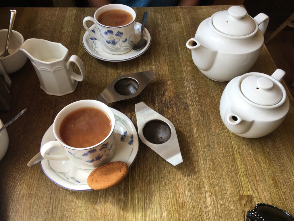
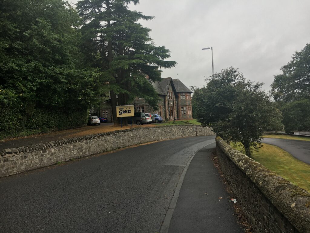
As we descended towards Selkirk we passed the Dovecot for the Haining, a beautiful estate house built in 1794. We were happy to arrive in Selkirk, have a lovely warm cup of tea, and head to our wonderfully old-fashioned B&B.
Selkirk is one of the oldest towns in the area. It was home to the first abbey in the Borders, Selkirk Abbey, built by Tironsenian monks in 1113. Selkirk’s most famous citizen is undoubtedly Sir Walter Scott, the renowned author who was one of the first international celebrities. For three decades he was the Selkirk town sheriff, and his courtroom is one of the tourist attractions in Selkirk. We had an fascinating in-depth tour of the courtroom by a young man who bubbled over with information about and enthusiasm for Sir Walter Scott. Like Hawick, this town still has some operating woolen mills.
Day 3 Selkirk to Melrose
- Distance: 12 miles
- Weather: quite wet. It poured all afternoon, especially from when we left Abbotsford House to when we arrived in Melrose
- Highlights: views of the Eildons, the extremely remote and slightly haunted feeling Cauldshiels Loch, a warm cuppa at Abbotsford House
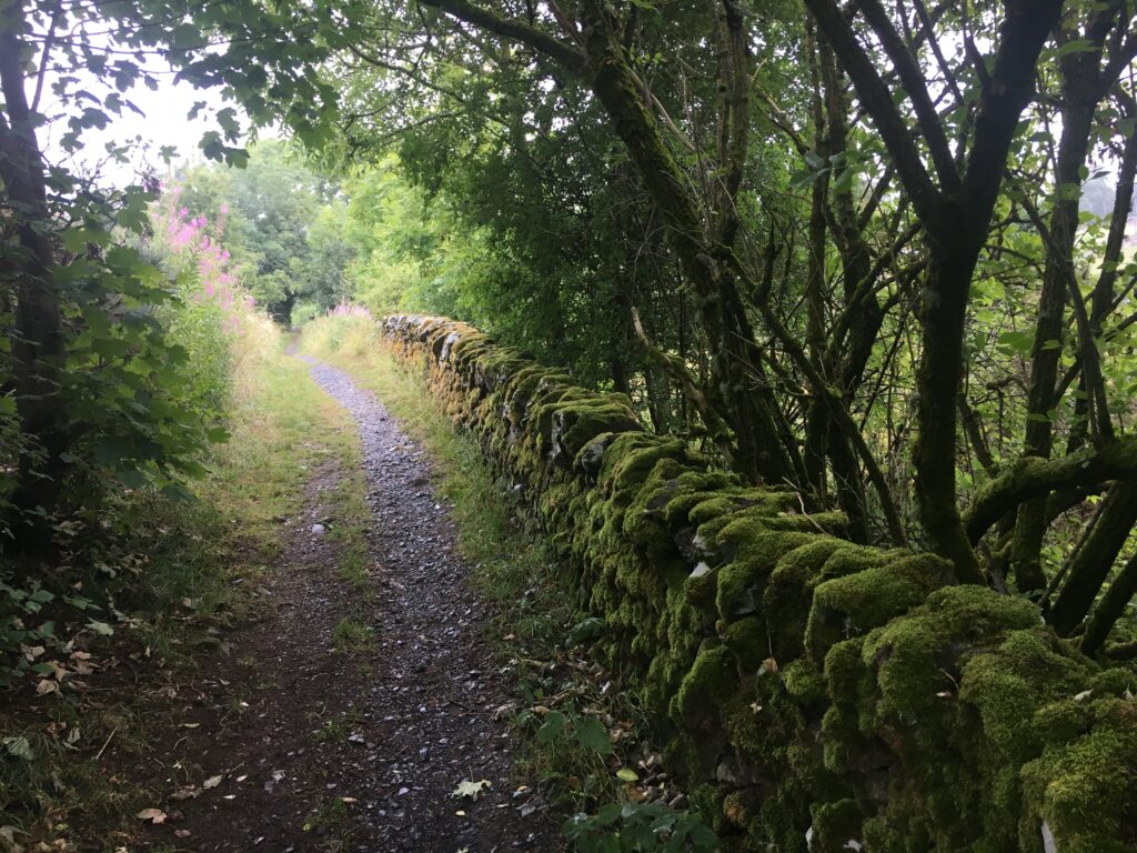
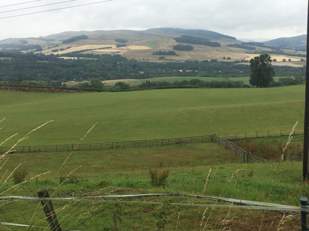
Heading up out of Selkirk, we found mossy stone walls, a pleasant path, and gorgeous views. We walked on one of Scotland’s ancient drove roads, where livestock were herded to market. The weather reminded us that we were in Scotland — it was gray and misty in the morning, and by afternoon we were walking through pouring rain. We were very thankful for our rain gear!
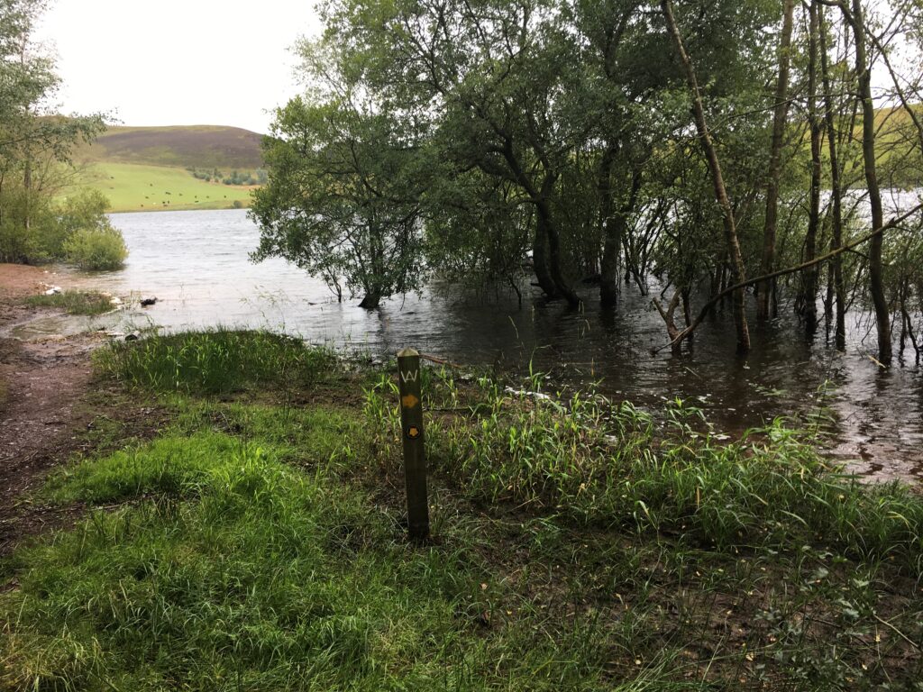
Cauldshiels Loch was both remote and flooded. We actually lost our way a bit and had to use our GPS to get back on track. This chilly desolate lake supposedly has a small monster living it, a sort of mini Loch Ness monster.
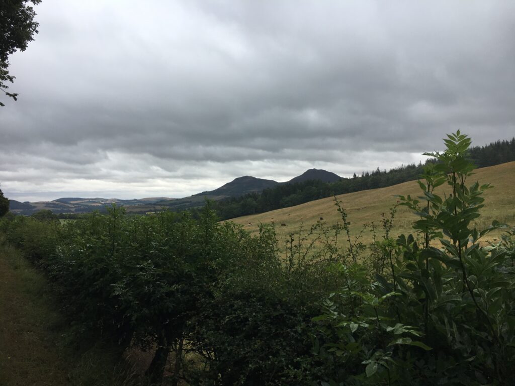
After climbing up from Cauldshiels Loch, we rounded a corner and had our first view of the Eildons. The Eildons are a hallmark of the Borders, and we had views of them off and on for the next few days.
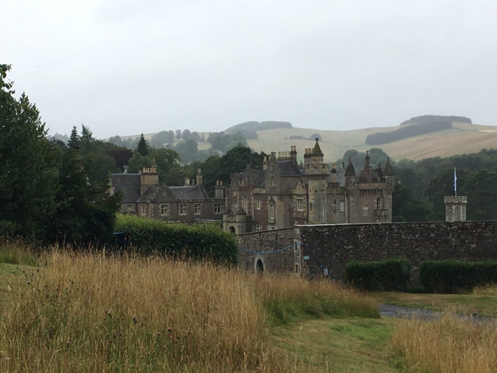
We decided not to pay the hefty admission fee. Instead, we stayed in the visitor’s center, where we had a wonderful warm cup of tea and a quick look at the mini-museum there.
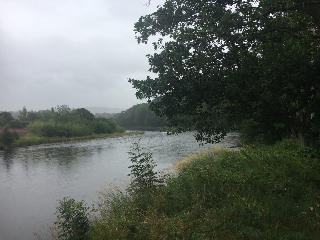
The last few miles of our walk that day were alongside the Tweed, that iconic salmon-fishing wonder. The path was gentle, which we appreciated because we were navigating it in a torrential downpour. We were delighted to stumble into Melrose and find our warm, dry B&B.
Day 5 Rest day in Melrose
- Distance: 3 miles
- Weather: gray
- Highlights: Melrose Abby, beautiful gardents
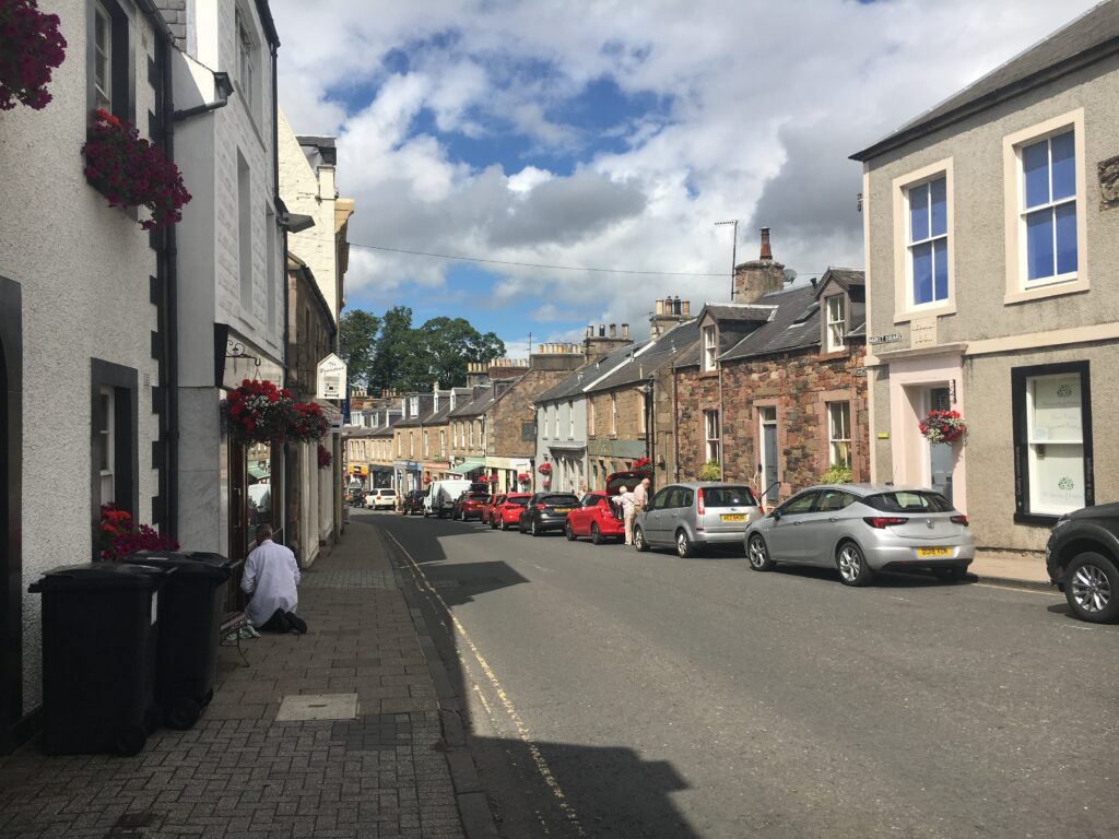
Melrose is a charming market town. It owes its early prosperity to its proximity to the Abbey. We enjoyed its tea shops, its gardens, and its many cute stores. It also had an informative museum about sheep and how wool becomes cloth.
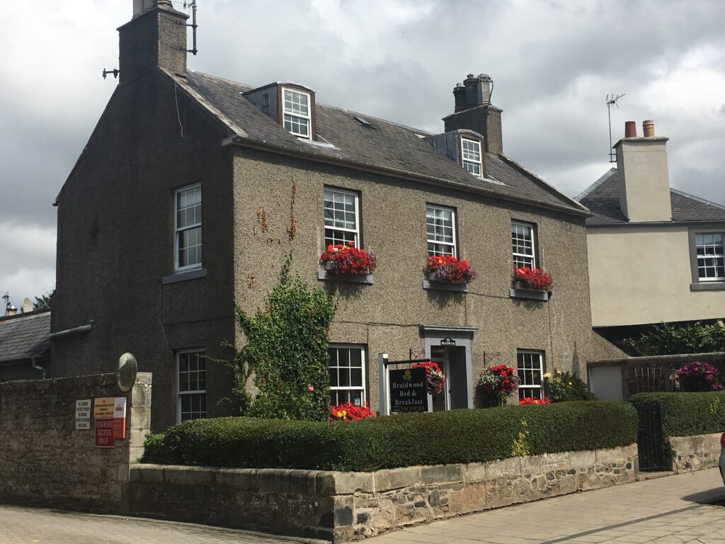
This is Braidwood House, our home for two days.
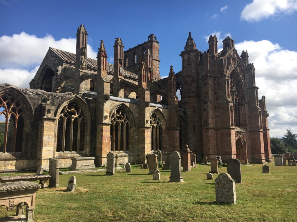
We spent the entire morning touring Melrose Abbey, the most beautiful and well-preserved of the Borders Abbeys. Melrose Abbey was founded by King David I (again!) in 1136 for the Cistercians. Like the other Borders abbeys, it fell victim to cross-border warfare. The abbey was extensively damaged by Edward II in 1322 and King Richard II in 1385. It was finally damaged beyond repair by Henry VIII.
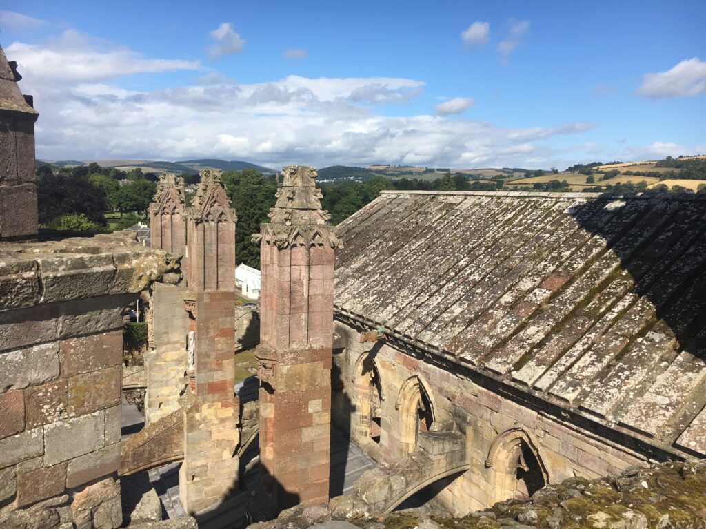
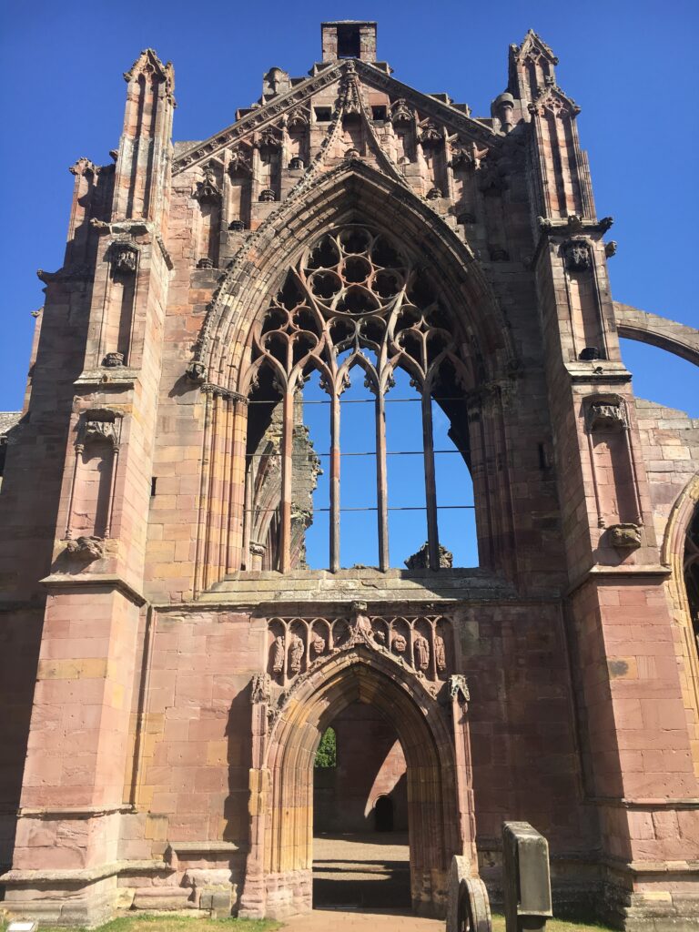
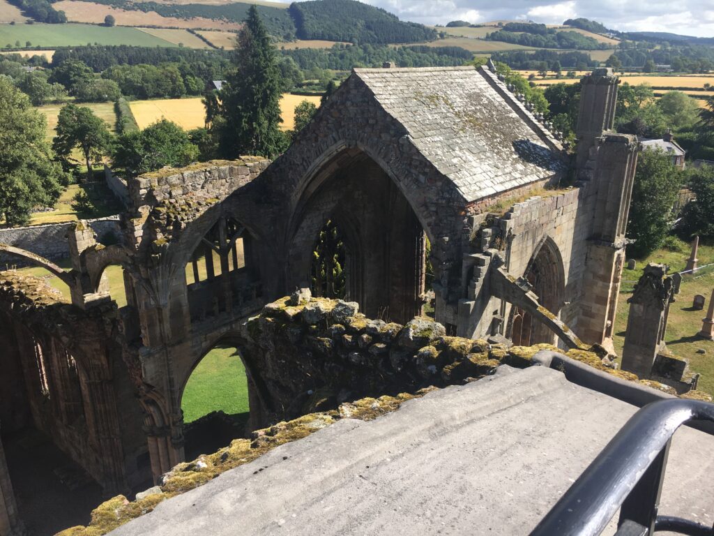
The rose-colored stone makes Melrose Abbey beautiful and distinctive. It has a unique gargoyle — a bagpipe-playing pig! We enjoyed being able to climb up tiny stairs into high nooks that provided wonderful birds-eye views of the abbey.
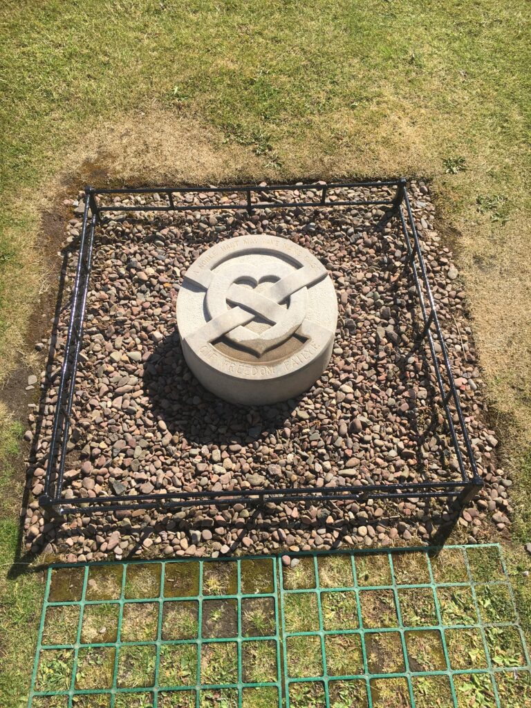
Robert the Bruce’s heart supposedly lies here. One of the great heroes of Scotland, he freed Scotland from English rule by winning the Battle of Bannockburn in 1314. He reigned over Scotland from 1306 until 1329. (For inquiring minds, the rest of his body is buried at Dunfermline.)
Day 5 Melrose to St. Boswells
- Distance: 10 miles
- Weather: gray
- Highlights: climbing the North Eildon, seeing the Rhymer’s Stone, beautiful heather, Dryburgh Abby, a 900-year-old Yew tree, the Temple of the Muses, Dryborough Abby, beautiful gardens
From Melrose to St. Boswell’s our walk diverged slightly from the Borders Abbeys Way. I really wanted to hike to the top of one of the Eildons, so we followed St. Cuthbert’s Way to the top of Eildon North and rejoined the Borders Abbeys Way near Newtown St. Boswells. We then crossed the Tweed and walked to Dryborough Abbey, but then came back across the Tweed to spend the night in St. Boswells.
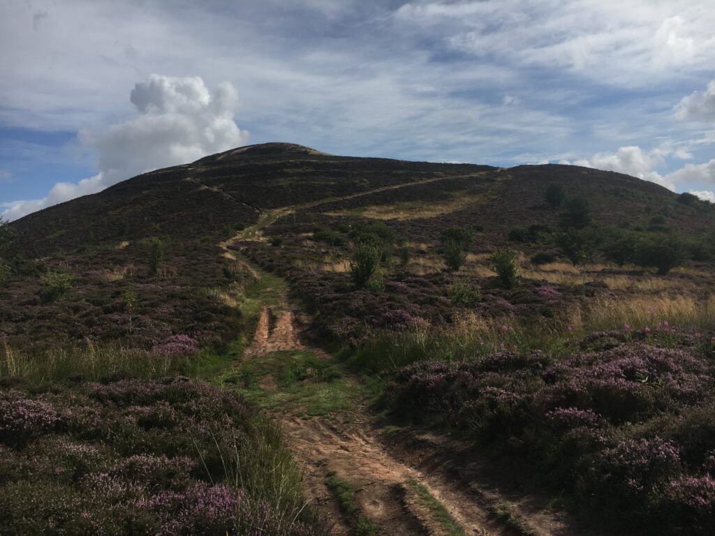
The Eildons are a iconic volcanic triple-peaked hill that not only is visible from much of the Borders but also provides amazing views of the Borders. Prehistoric people are believed to have had an important fort there, and the Romans may have used one of the peaks as a signal tower. The Romans called the area Trimontium, for obvious reasons!
The Eildons are a steep climb out of Melrose. After a large number of stairs, we enjoyed the gorgeous views and the abundant heather blooming everywhere. The path was clay and the wet areas were extremely slippery, so we were thankful that the path was mostly dry. The wind was blowing around 30 mph at the top; it was strong enough that we were concerned about it ripping our cell phones out of our hands.
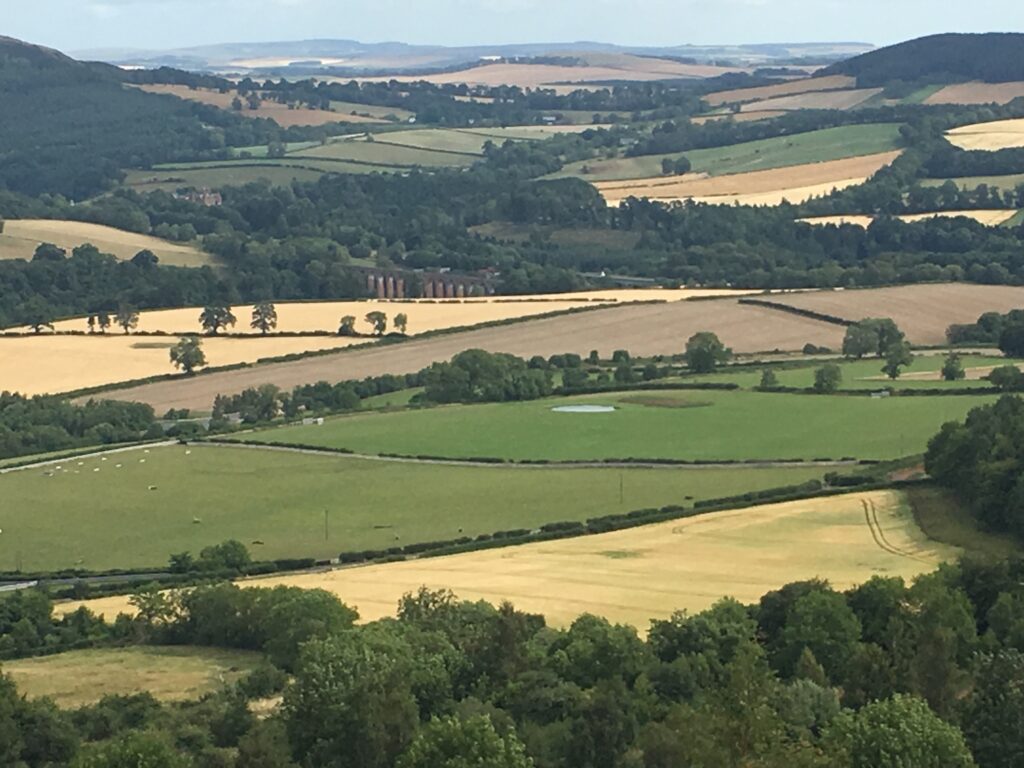
As we climbed the Eildons, we had a wonderful view of the Borders — farmland, rolling hills, and the Tweed hiding under the viaduct. Newstead, the oldest continually inhabited settlement in Scotland, is near here.
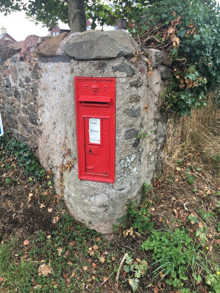
A mailbox in a stone wall — cool!
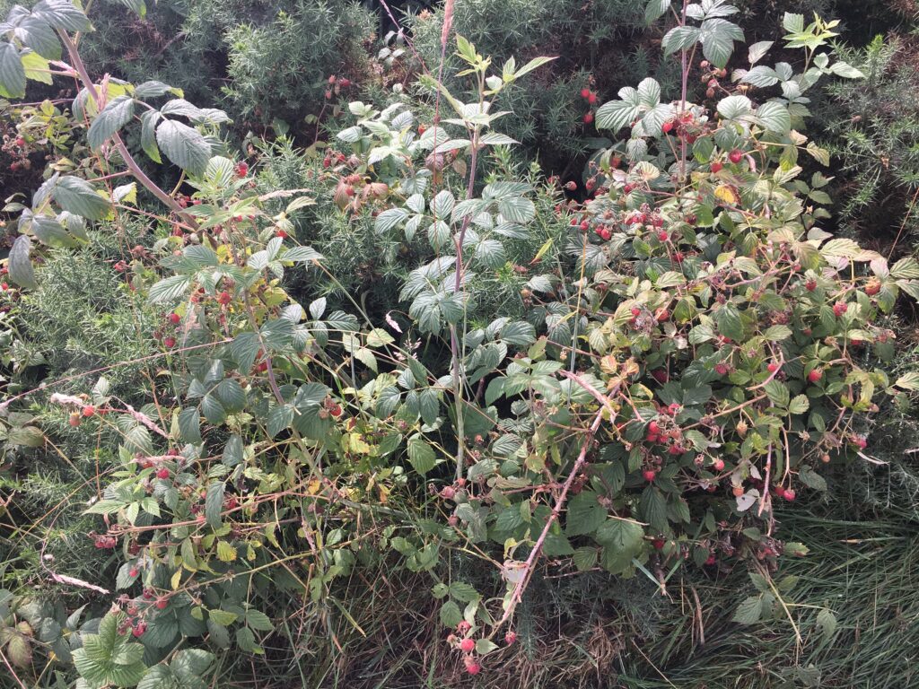
One of the perks of walking this is late July was the abundance of wild raspberries. We snacked on them incessantly!
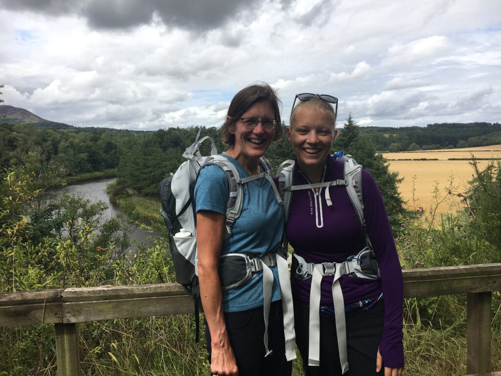
We crossed the Tweed on our way to Dryborough Abbey. This particular section of the Borders Abbeys Way is coincident with St. Cuthbert’s Way, so there were a few more people on this section. The Borders Abbeys Way itself was wonderfully unpopulated. During our entire time in the Borders we never bumped into another person from the U.S.A!

Temple of the Muses is an eccentric neoclassical structure dedicated to James Thompson, who wrote the lyrics for ‘Rule Brittania’.
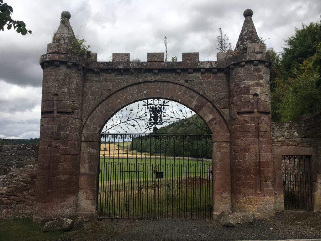
A classy gate. We were quite curious as to what it had been the gate of!
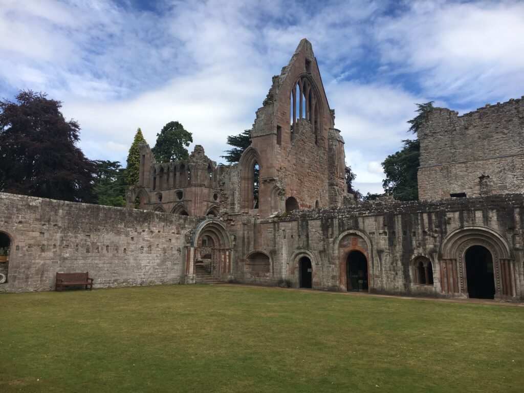
Dryborough Abbey, started in 1150, was also founded by King David I. Edward II burnt down in 3122. After being restored, it was destroyed in 1385, restored, and then destroyed again in 1544. The Reformation ended its existence.
It is by far the most peaceful of the four abbeys, since, unlike the others, it is not near or in a town. Sir Walter Scott is buried here.
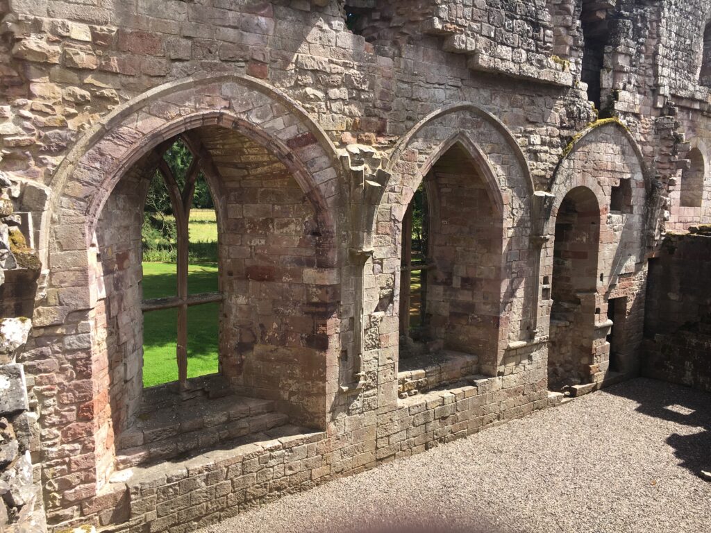
The location of the abbey, set on a bend of the Tweed, is stunning. Most of the building is in rough shape, but these windows are fully detailed.
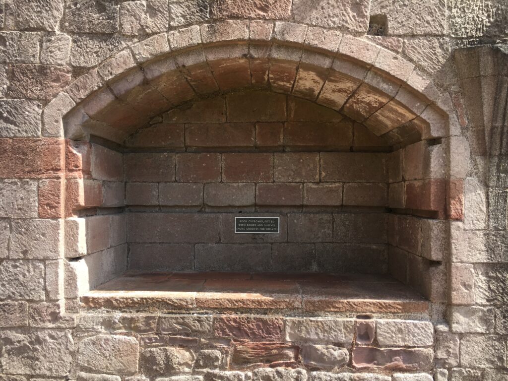
This is a bookshelf! You can see where the actual shelves would have been. The idea of monks having a bookshelf makes me very happy!
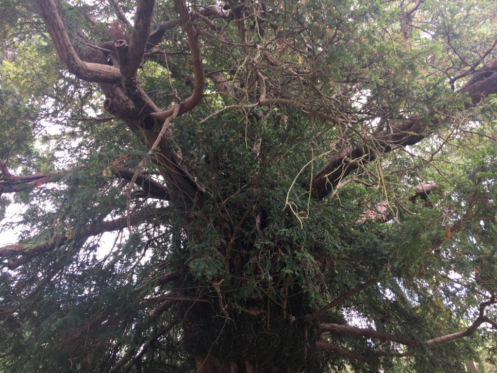
This is the “Dryborough yew”, supposedly planted in 1136. It is nearly 900 years old! It’s awe-inspring to be in the presence of something that was around during the signing of the Magna Carta, the Black Plague, the Reformation…. Imagine the stories it could tell!
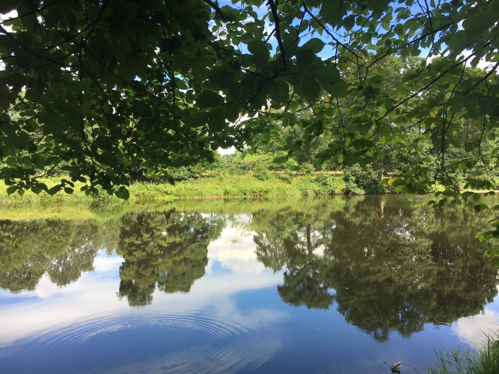
Walking along the Tweed we saw fish jumping, blue heron and egrets wading, and wildflowers blooming abundantly.
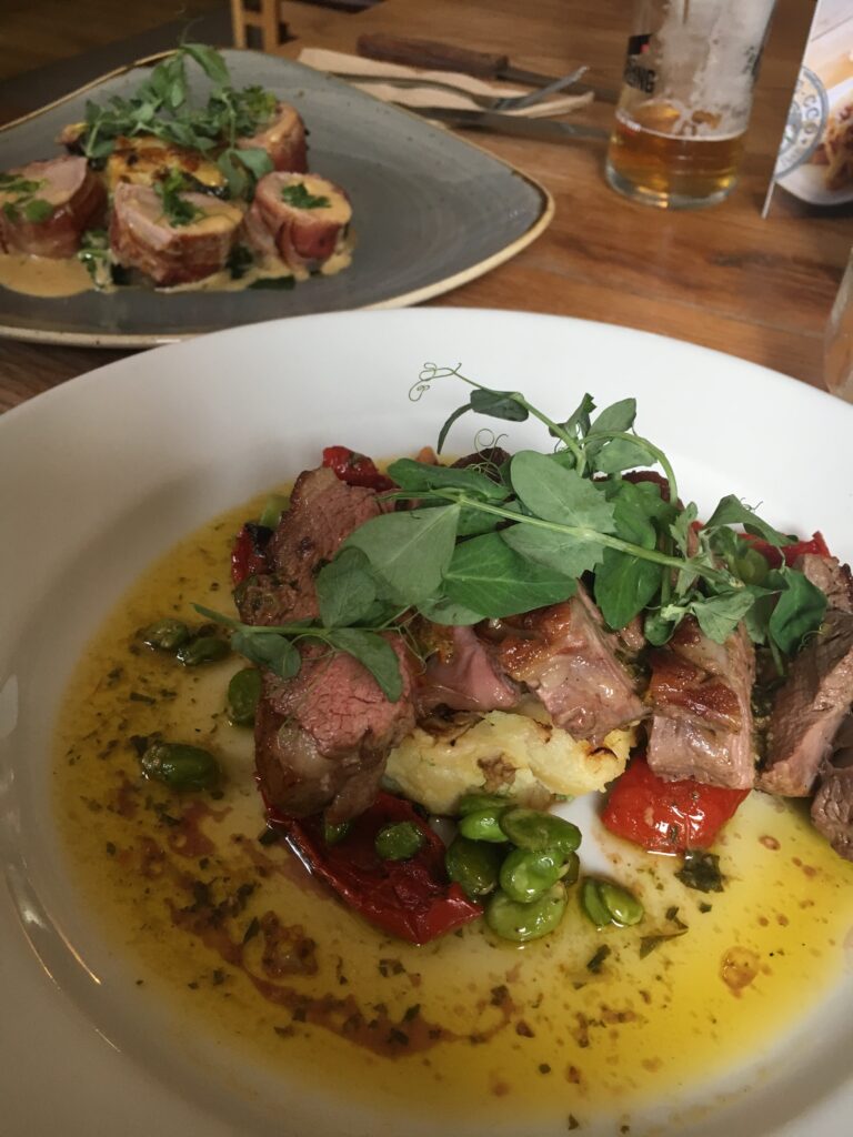
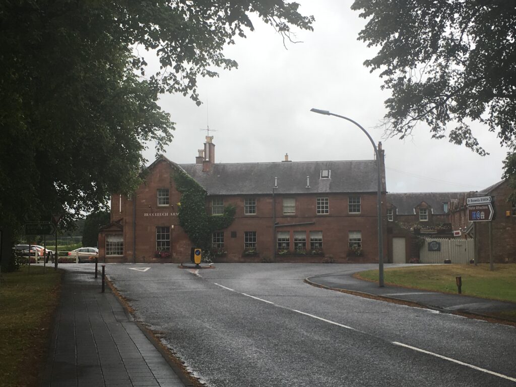
The Buccleuch Arms, our home for the night in St. Boswells. The food was amazing and the rugs were plaid!
Day 6 St. Boswells to Kelso
- Distance: 15 miles (longer than we expected!)
- Weather: less gray
- Highlights: walking along the Tweed, seeing relatives in Kelso, Kelso Abbey, relaxing over a pint in a wonderful micropub
Since we had to go back to the south side of the Tweed to stay in St. Boswells, we decided to walk along the south side of the Tweed for a few miles and then cross to the north side and rejoin the Borders Abbeys Way via the Mertoun Bridge. We passed the war memorial at Makerstoun, a small hamlet. War memorials are everywhere in Scotland. If there is a cluster of houses, no matter how few, there will be a war memorial. They are a somber and shocking reminder of the great cost the Scots paid in World War I
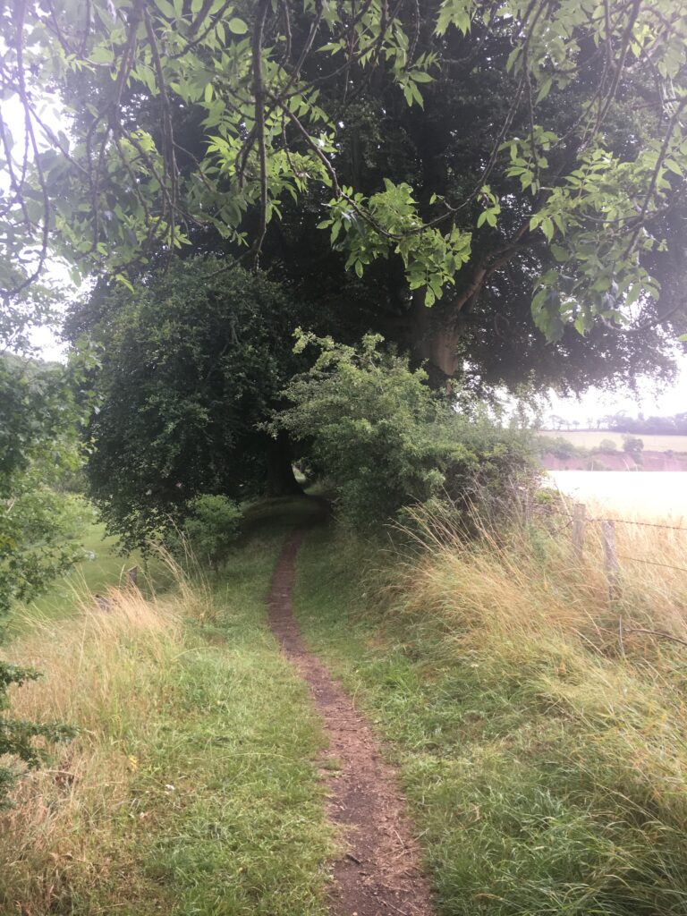
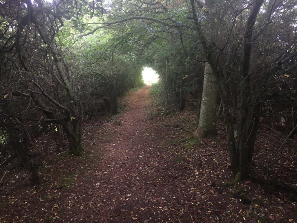
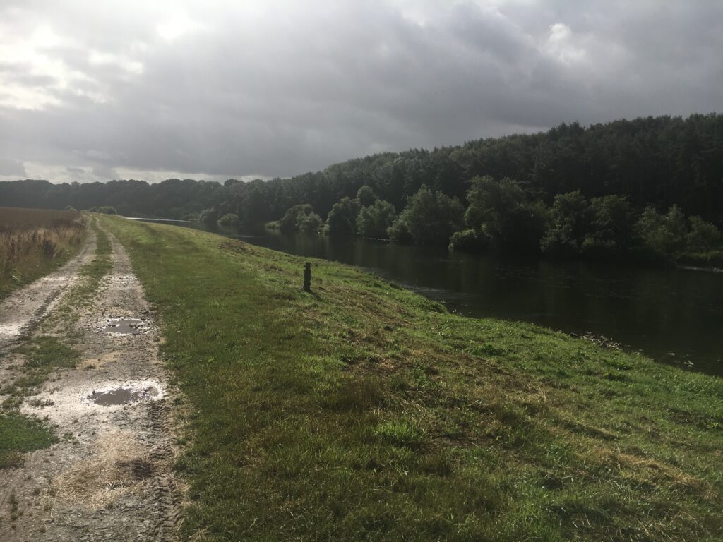
The trail varies widely minute by minute and hour by hour.
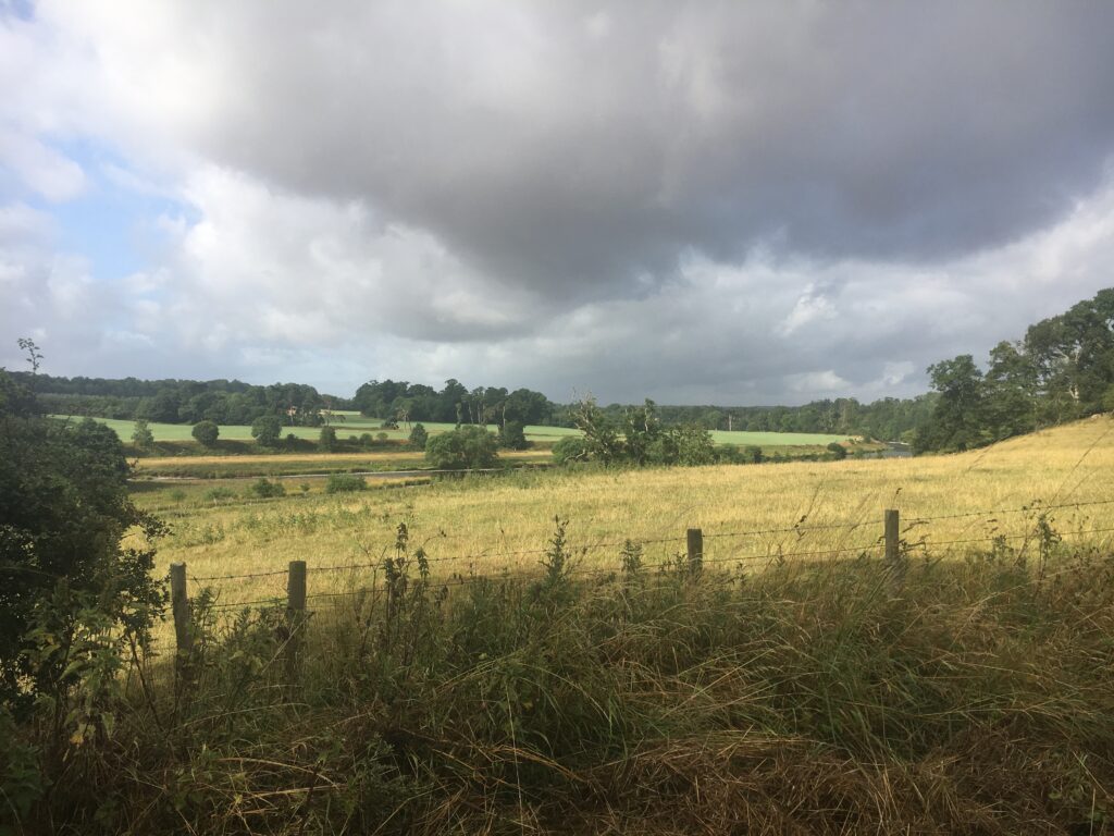
The clouds in Scotland are incredibly dramatic.
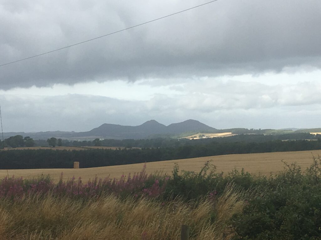
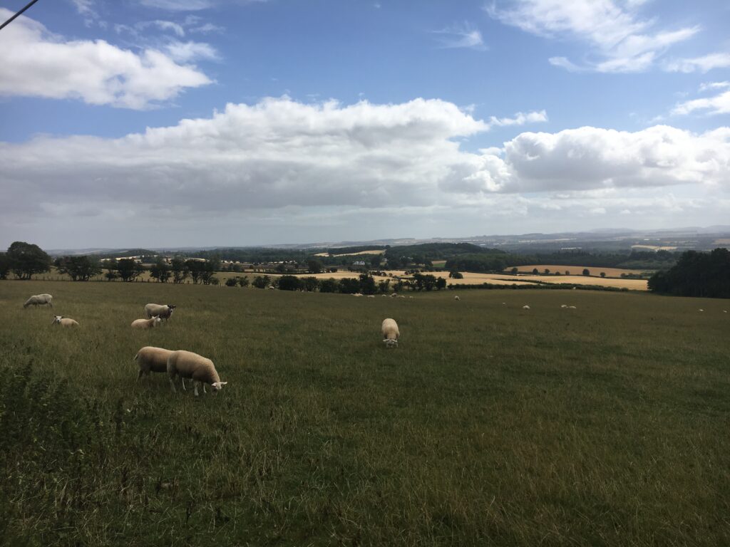
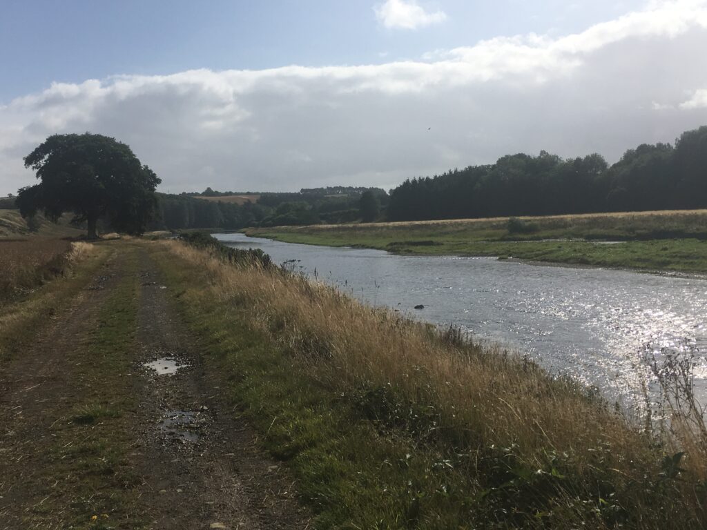
Three iconic Borders sites — the Eildons, sheep, and the Tweed.
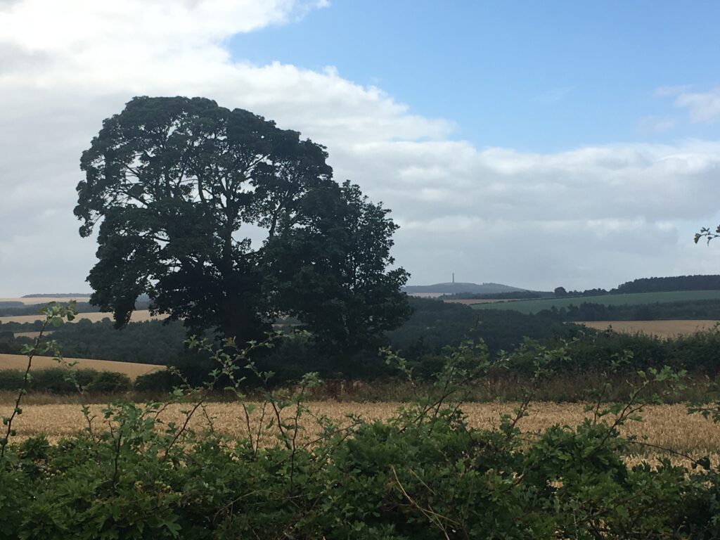
The thin needle-like structure in the background is the Waterloo Monument on Peniel Heugh in Ancrum. Throughout most of our walk we could see random views of this tower. Sometimes we even felt like the walk was a great circumnavigation of this memorial!
As we approached Kelso, we somehow ended up on the wrong side of a very dense hedge. Since we were only a mile or so from town, we contemplated just finshing the day’s walk on the road, but seeing the narrowness of the road and the speed of the cars we decided that would be suicidal. We finally decided to test the Scottish “right to roam” and just walked up the driveway to the elegant manor, being sure to stay as far away from the building as possible. We uneventfully circled around the house and joined the Way on the other side, happy to be on the Way again!
Once in Kelso, we had the pleasure of having dinner with my father’s cousin and her family. They have lived there their entire lives in Kelso, so we enjoyed hearing tales about the Borders from natives!
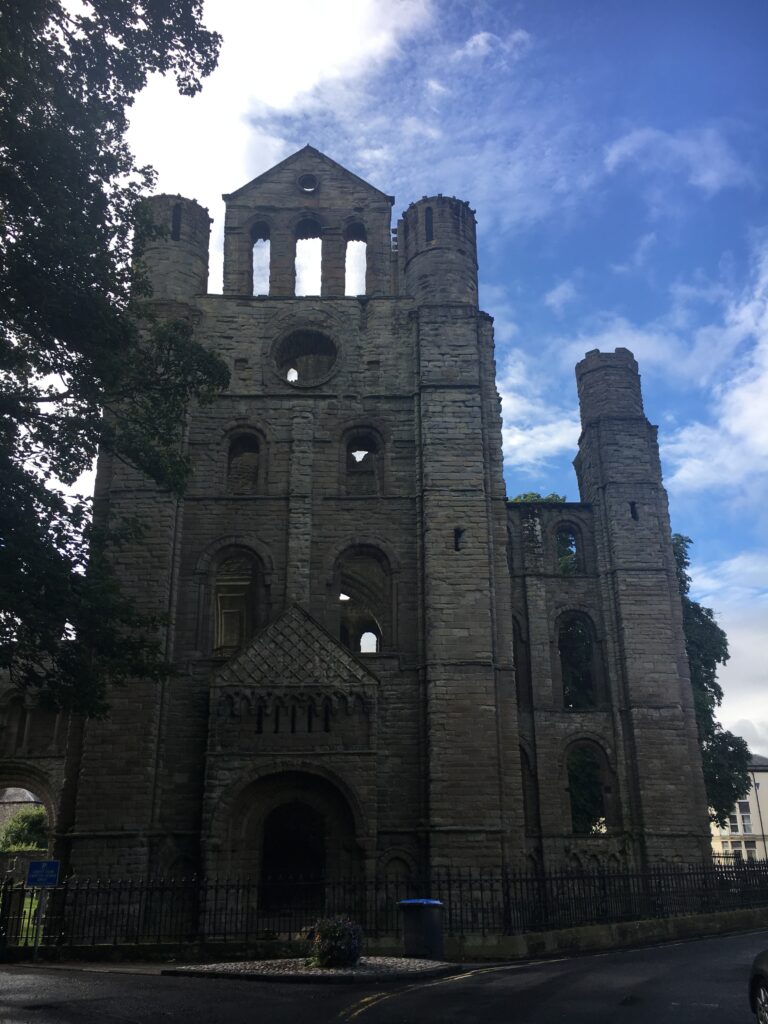
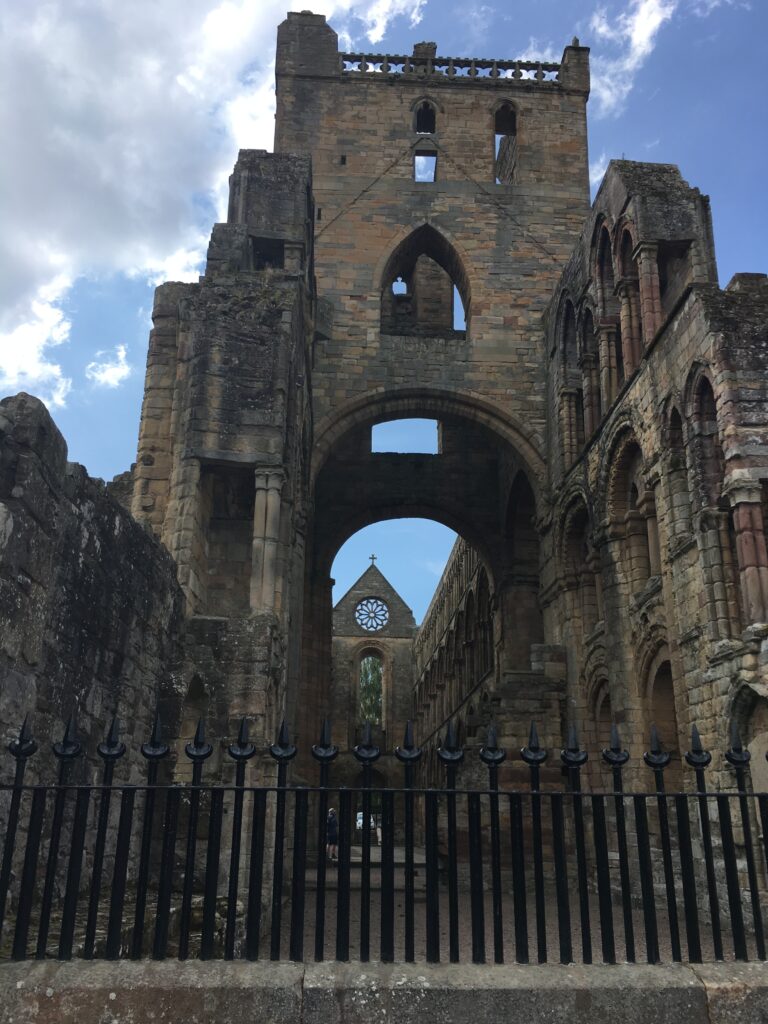
We also spent some time exploring Kelso Abbey. Our fourth and final Borders abbey was founded by (guess who?) King David I around 1128. As with the other abbeys, its proximity to the English border meant that it was a popular target for invading English armies. Kelso Abbey was finally destroyed in 1545. This abbey is centrally located in Kelso, a bustling town, so while it is beautiful it does not have the peaceful air the others do.
My grandmother was a Rutherford from Kelso, and we found numerous Rutherfords on gravestones and war memorials.
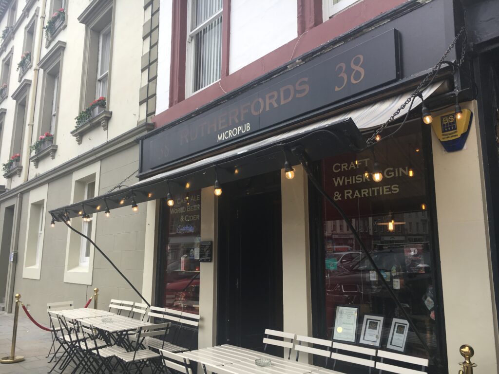
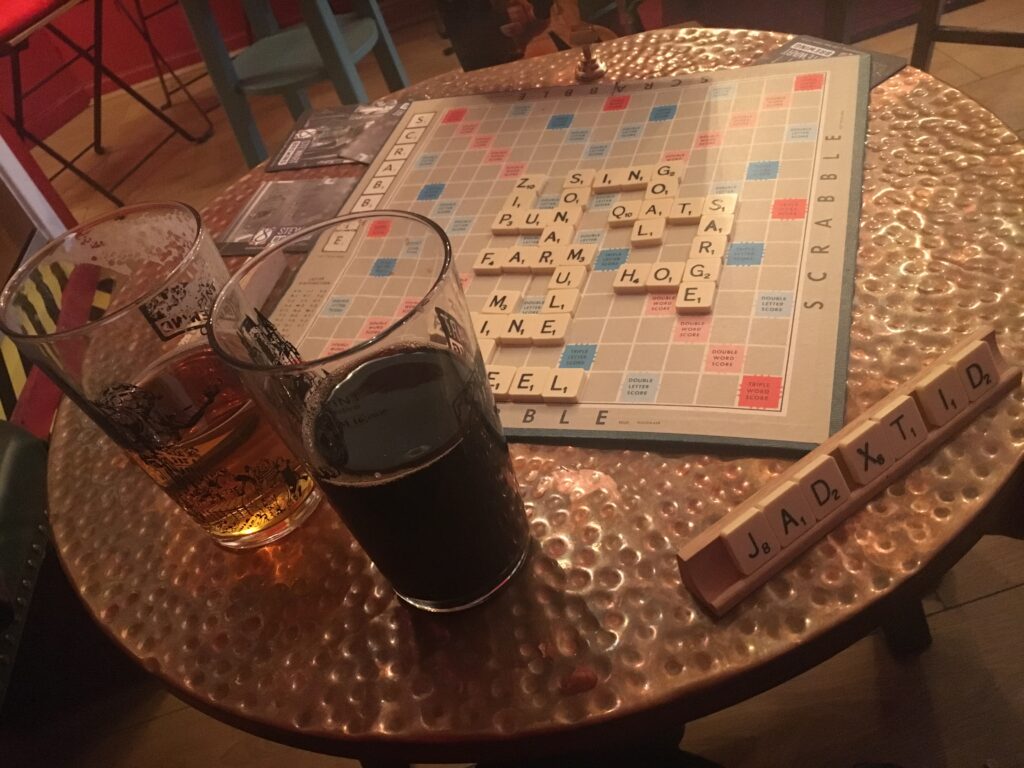
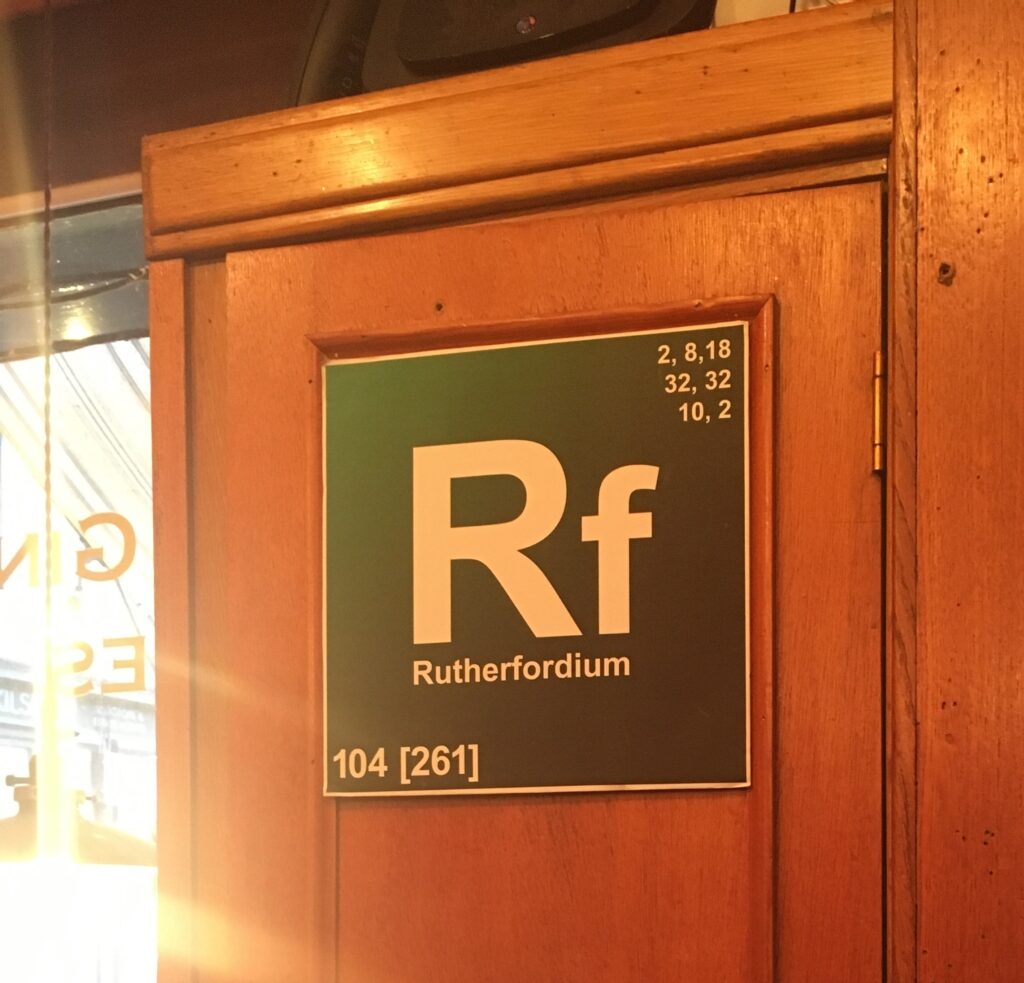
Given our connection to the Rutherford name in Kelso, we felt obligated to go to the Rutherford Microbrewery and enjoy a pint. Scrabble is ubiquitous in Scotland, and we played numerous games of it during our stay.
Day 7 Kelso to Jedburgh
- Distance: 14 miles
- Weather: some sunshine!
- Highlights: the ruins of Roxborough Castle, the “Holy Grail”, Dere Street (a Roman road), the River Teviot, wildflowers, the Mary Queen of Scots House, Jedburgh Abbey, and returning to the B&B where we started our adventure!
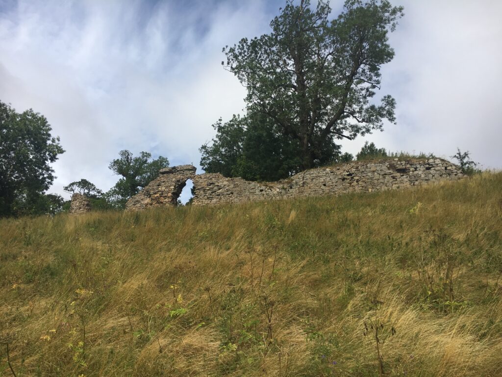
Roxborough Castle was once a hugely important stronghold (and supposedly also founded by King David I!), but its location on the border meant that it was a popular target for the English, who wanted to use it as a base of operations. The information sign indicated that ownership of the castle had flip-flopped between the Scots and the English fourteen times! In any case, eventually the Scots decided that it was safer to not have a castle here, and they tore it down. This is what remains. This ruin of a formerly important castle does make you contemplate the shortness of life — “As for man, his days are like grass…..”
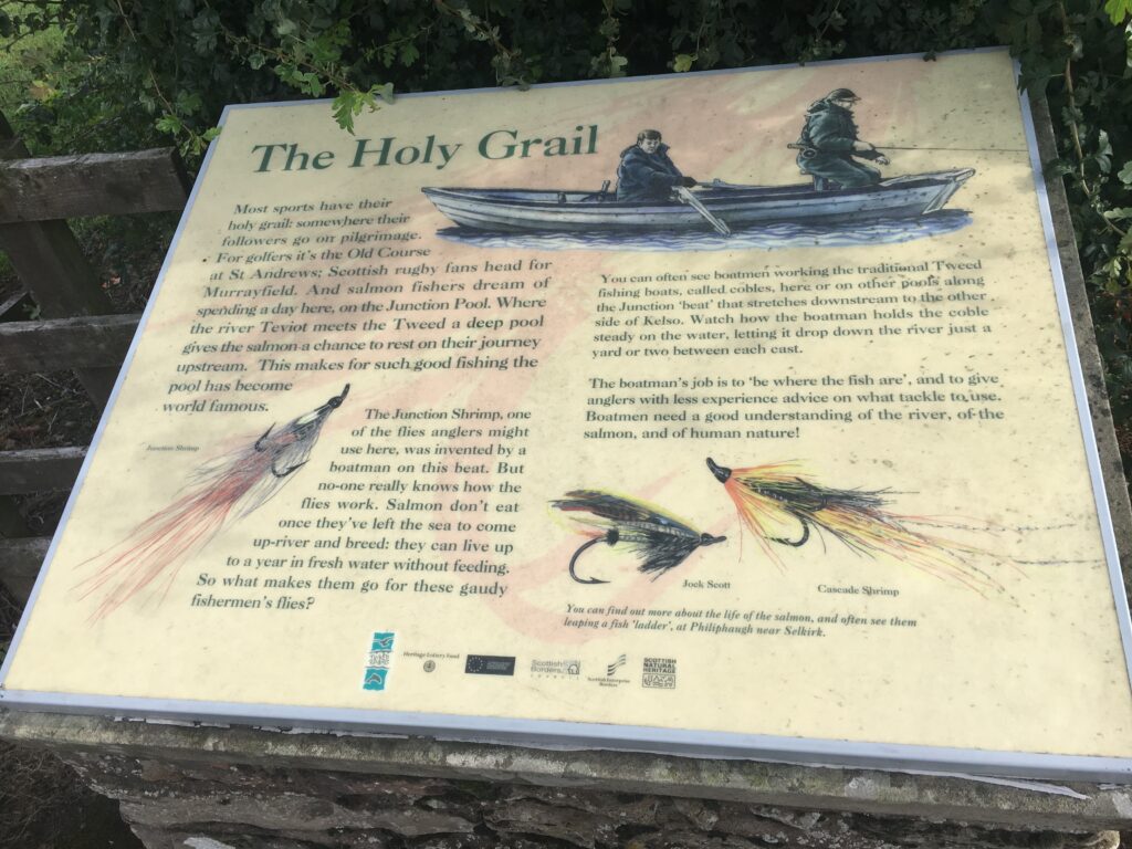
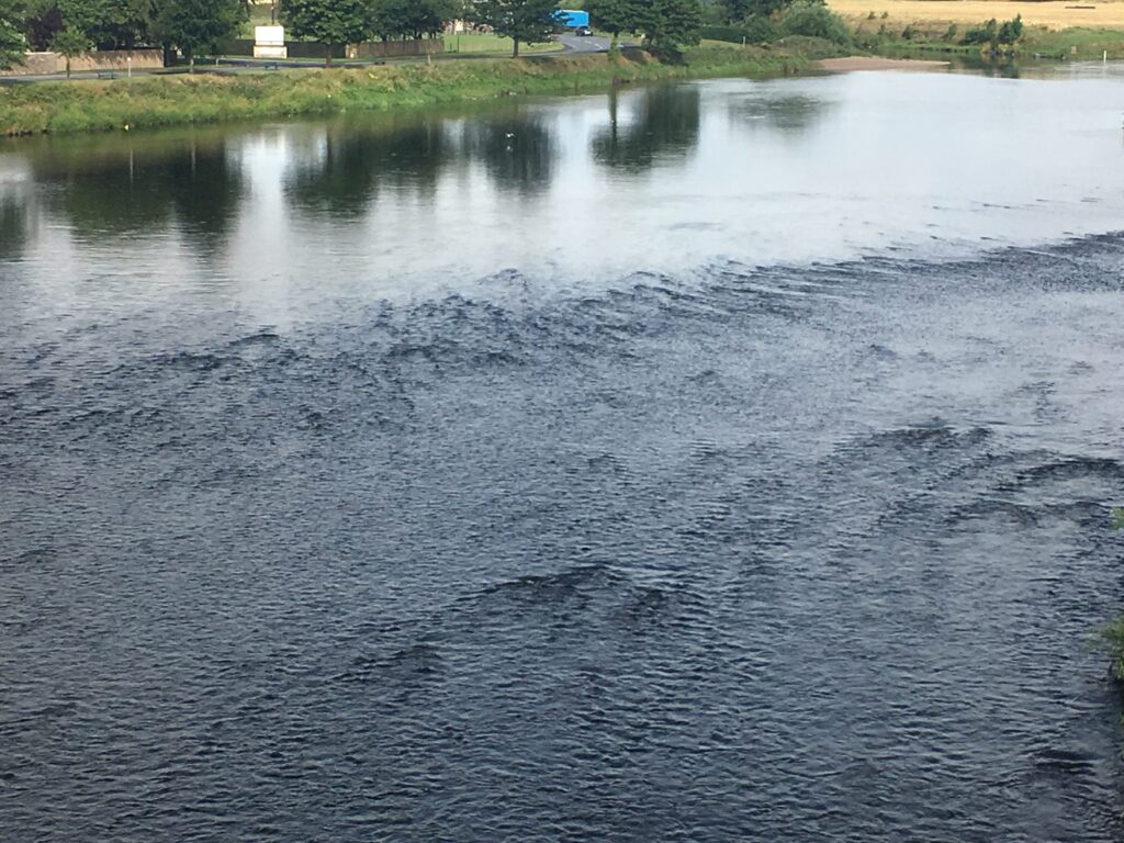
We found The Holy Grail — of fishing, that is! The Tweed and Teviot rivers meet in an area called The Junction Pool, which supposedly has the best salmon fishing in the world. We enjoyed walking along or near the Teviot, occasionally seeing a fisherman out trying his luck, for much of the rest of the day.
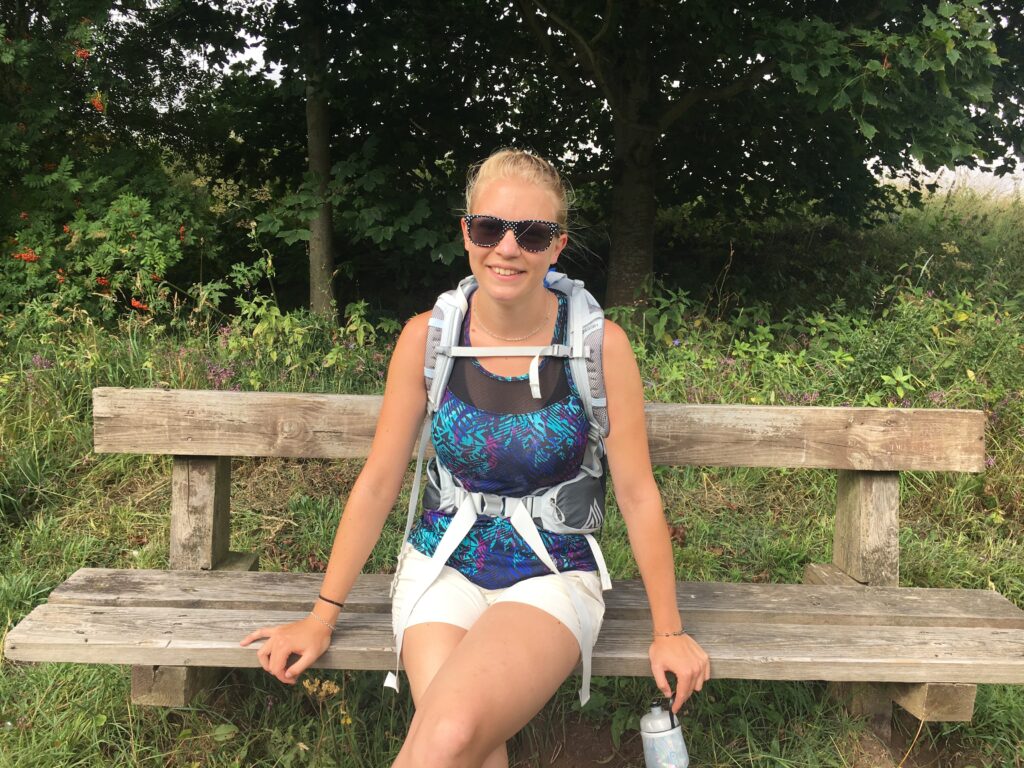
The Scots really do have a remarkable ability to put a bench in JUST the right spot! In all the miles we walked, we only ended up sitting on the ground for a snack once. This bench had a fantastic view of the Teviot, and there was a particular blue heron that seemed to follow us for much of the day’s walk.
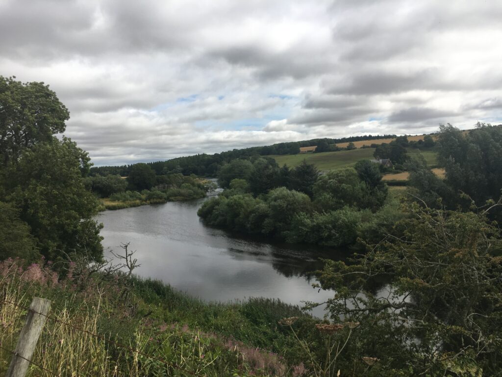
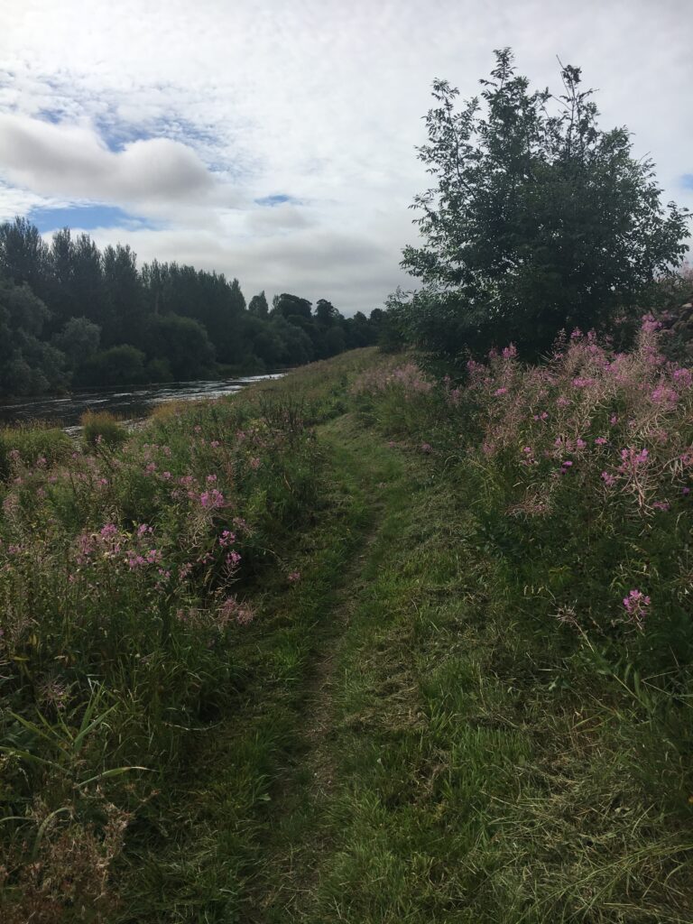
More riverside views. Such a great path for walking!
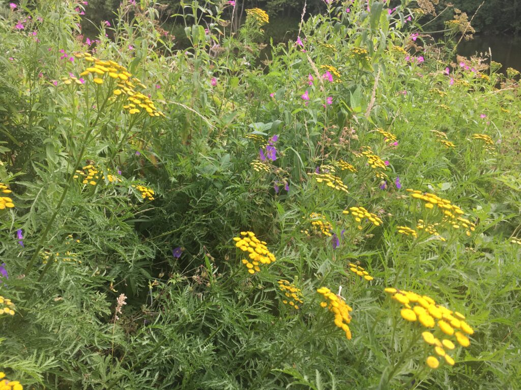
The wildflowers were lush and abundant. When we chose to do the walk in late July, we had no idea that we would find such an abundance of wildflowers everywhere. Even the heather was in bloom!
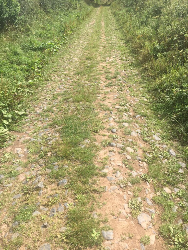
Dere Street is an old Roman road connecting York and the Antonine Wall. We walked on this for about a mile, contemplating Roman soldiers and long ago times.
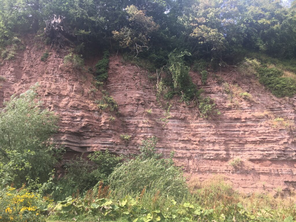
This fascinating geologic sight is called the “Jedburgh unconformity”, which is a .junction between sets of rocks of quite different types.
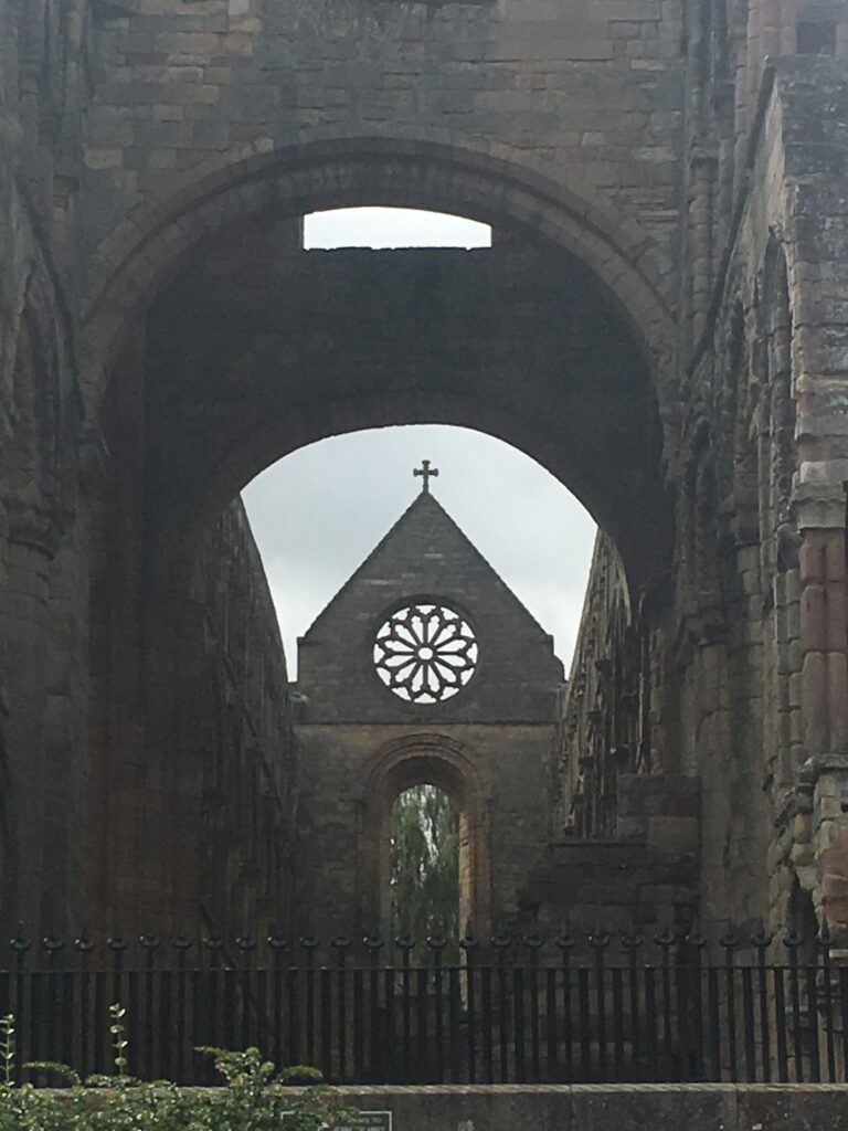
And we arrived back in Jedburgh, our walk complete. In Jedburgh we enjoyed one last small museum, the Mary Queen of Scots House, which provided lots of information about that troubled and unfortunate royal. After that we had a lovely celebratory dinner and headed to our B&B for a good night’s rest before returning to the U.S. in the morning.
Border Abbeys Way Summary
I absolutely cannot imagine a better vacation than the Borders Abbeys Way.
I would recommend this walk to people like us who have never done a long-distance walk before. The distances were manageable, the path was well-marked, the changes in elevation were minimal, and the rewards were great. We particularly enjoyed the mixture of history and scenery. We saw an abundance of small museums and really got a taste of Borders history while enjoying pastoral views and lots of sheep!
I strongly recommend using a travel service to set up the accommodations and arrange for luggage transport. Having everything set up for us made the logistics simple. All we had to do was to enjoy the walk!
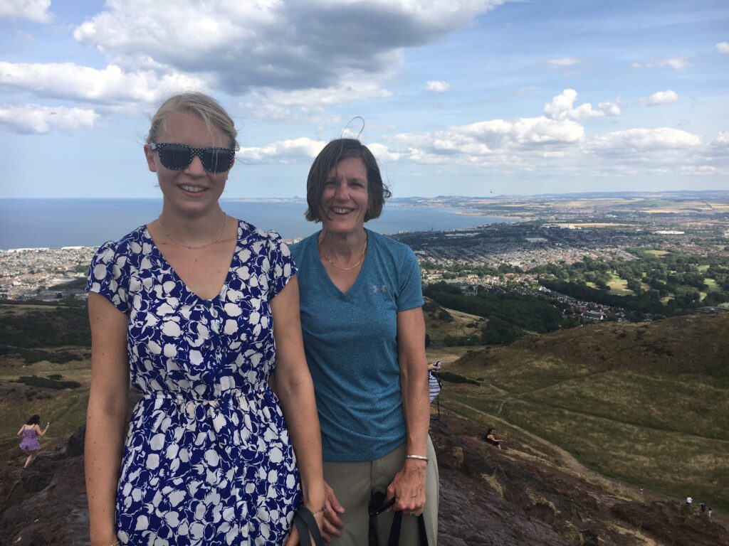
Such a wonderful vacation!