HikingHaggis
Exploring the world one step at a time
West Highland Way
June 7 – 17, 2019
What Is the West Highland Way
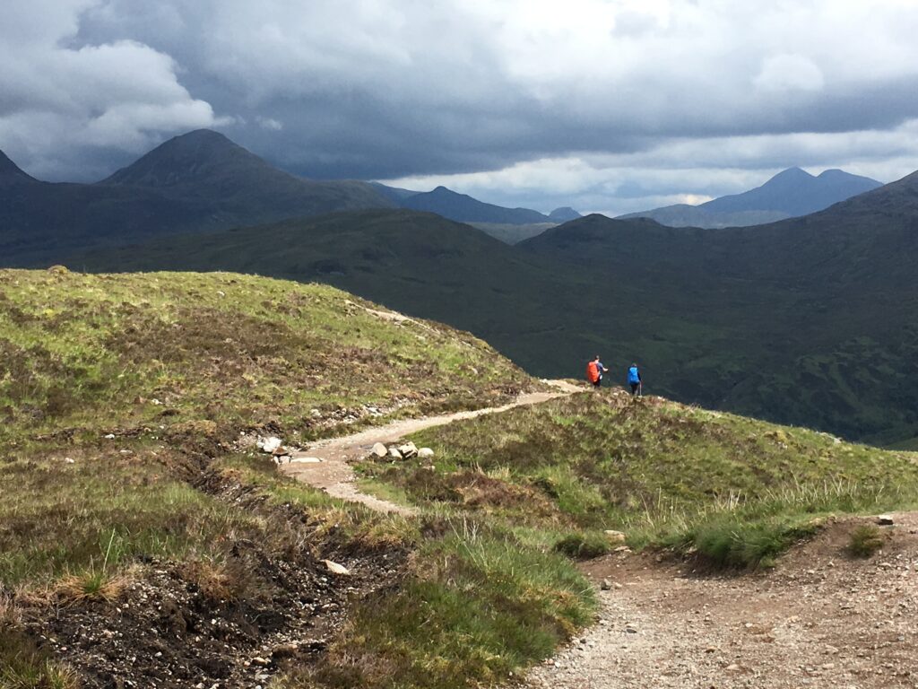
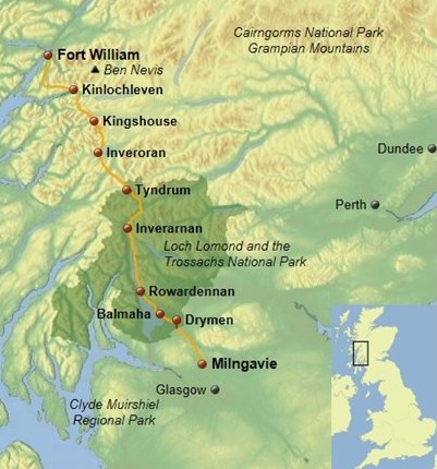
The West Highland Way is a 96-mile walking route starting in the Lowlands just north of Glasgow and continuing into the Highlands, finishing at Fort William on Loch Linnhe.The walk starts in lush woods in Milngavie and continues through treed parkland, rolling farmland, abundant sheep pastures, remote mountain passes, a desolate moor, and breathtaking mountain scenery. Much of two days is spent walking along the shores of Loch Lomond. The trail traverses a side of Rannnoch Moor, the largest undeveloped section of land in the U.K., and ascends up and over Conic Hill and Devil’s Staircase. These two climbs provide both great views and a huge sense of accomplishment at the top.The trail passes through numerous villages, ranging from small hamlets to fairly industrial towns, all of which do a wonderful job catering to the needs of hungry hikers!
The West Highland Way is more of a walk than a hike, though with lots of climbs and descents. The Way often follows old drove roads, the network of roads used for driving sheep and livestock from the Highlands to the markets in Falkirk and Creff. The Way also often follows military roads that were established by the English after the Jacobite uprisings in 1715 and 1745 so the English army could more easily suppress any future rebellions. These fascinating historical connections mean that the West Highland Way more closely resembles a wide track than a narrow path, comfortable to walk and easy to navigate.
National Geographic included the West Highland Way in a list of twenty of the ‘world’s best hikes’. After reading numerous enthusiastic accounts of walking the Way and seeing lots of jaw-dropping pictures taken along the Way, my older daughter and I decided to hike the West Highland Way ourselves. We were not disappointed!
How We Walked the West Highland Way
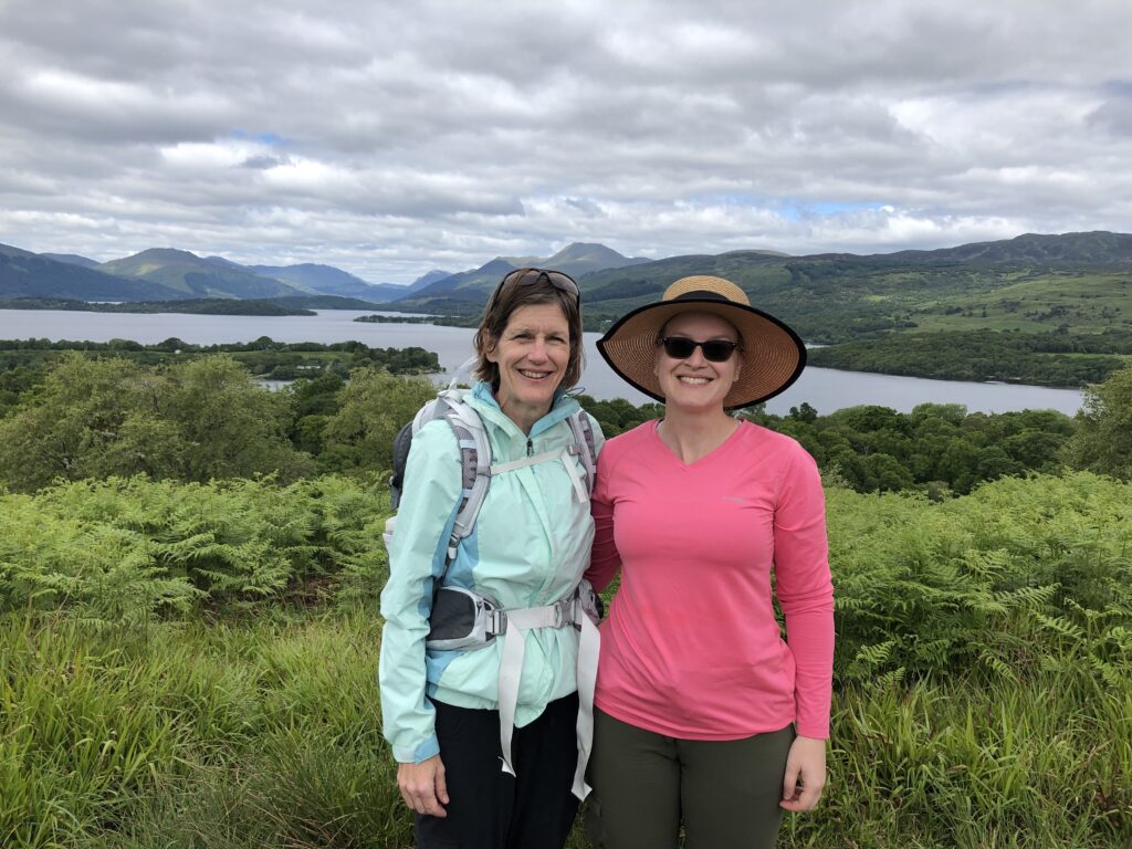
Having heard that finding accommodations along the popular West Highland Way is a bit of a challenge, we decided to use the planning services of Macs Adventures. This Scottish travel company did a fantastic job with all the arrangements, so we literally just had to put one foot in front of the other and enjoy the walk! Macs Adventures arranged not only all of the B&B’s but also the daily luggage transport service so that each night our luggage magically appeared at the new B&B. We did all the walking just with day-packs, carrying only snacks, rain gear, and maps.
A few speedy hikers do the West Highland Way in four days, and some laid back people take ten days to enjoy the trail; we chose to do it in seven days. This meant that we walked approximately fourteen miles each day, which worked well for us.
We did the trip in mid-June, when the days are long and the weather is supposedly less rainy than at other times of year. We were concerned that we would encounter midges, the great bane of the Western Highlands, but thankfully they rarely bothered us — during the day they made themselves scarce and at night we were safely ensconced in a B&B.
The trail is clearly marked almost the entire way, so navigation was never an issue. We had uploaded the trail onto Gaia (our GPS app), but we used the online topographical map exclusively to help us figure out the lay of the land.
In Gaelic, the West Highland Way is written “Slighe na Gàidhealtachd an Iar”! I usually cherish the opportunity to learn more about place names while traveling, but Gaelic stumped me. As a result, I focused more on the scenery itself, which did not disappoint!
We found both the Cicerone guide and the Trailblazer guide to the West Highland Way to be extremely helpful. The Trailblazer guide had very clear useful maps and helpful lists of frequently seen flora and fauna; the Cicerone guide was loaded with information.
Our Itinerary
- Day 0 (6/10) Glasgow
- Day 1 (6/11) Milngavie to Drymen — 14.8 miles (Green Shadows B&B)
- Day 2 (6/09) Drymen to Rowardennan — 17.5 miles (The Rowardennon Hotel)
- Day 3 (6/10) Rowardennon to Inverarnan — 15.2 miles (Beinglas Farm)
- Day 4 (6/11) Inverarnan to Tyndrum — 13.0 miles (Clifton Cottage)
- Day 5 (6/12) Tyndrum to Kingshouse — 19.7 miles (Kingshouse Hotel)
- Day 6 (6/13) Kingshouse to Kinlochleven — 9.6 miles (Allengrange)
- Day 7 (6/14) Kinlochleven to Fort William — 20.0 miles (Myrtle Bank Guest House)

Day 1 Milngavie to Drymen
- Distance: 14.8 miles
- Weather: sunny!
- Highlights: walking by Dumgoyne Hill, lunching at the Beech Tree Inn, sampling the delicious haggis balls at the Clachan Inn.
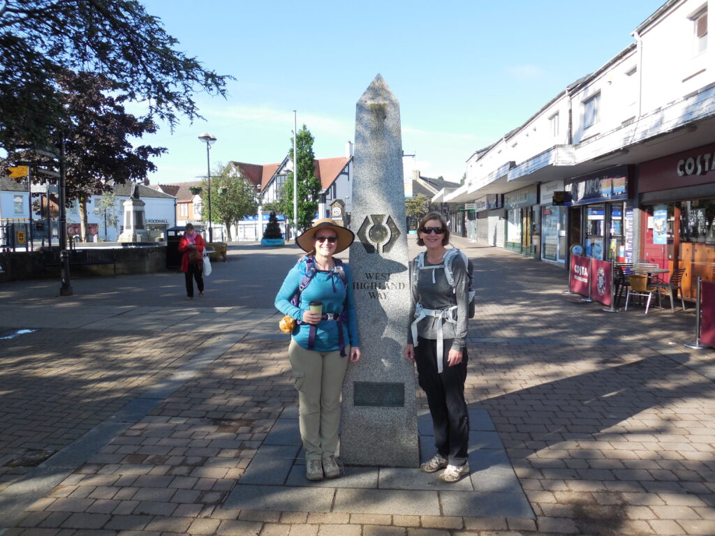
The West Highland Way starts at an obelisk in Milngavie (pronounced ‘Mull-guy’), a suburb of Glasgow. After taking an early train from Glasgow and depositing our baggage with the luggage transport people, we posed for the requisite picture and started on our way.
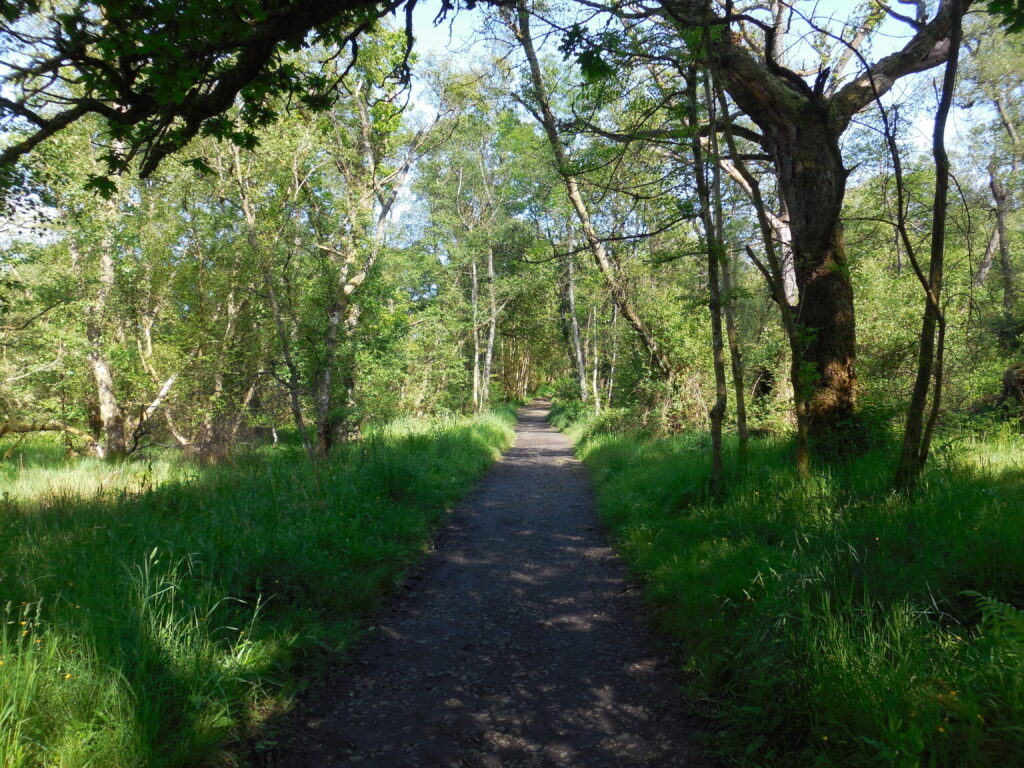
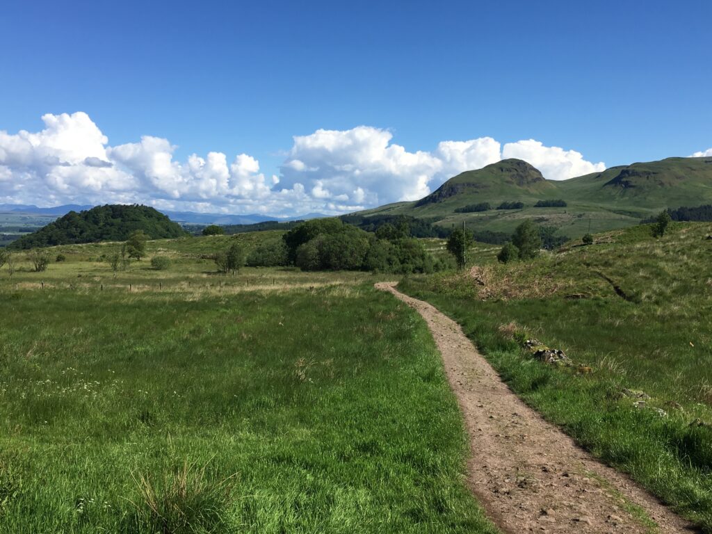
After leaving Milngavie we walked through Mugdoch County Park. The broad path meandered through some lush woods. We then walked through miles of fields, with the uniquely-shaped peak of Dumgoyne Hill tantalizing us. Over the course of the day we approached the hill and then left it behind, reminding us of one of the joys of long-distance walking — that satisfying feeling of making progress.
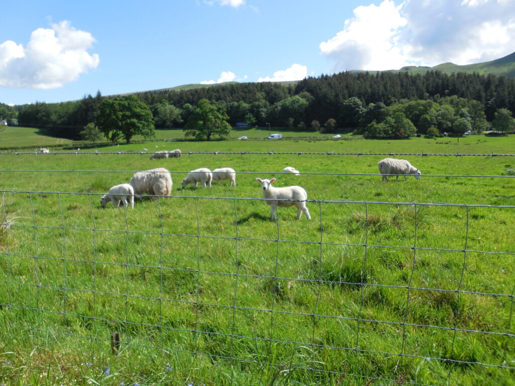
Since we were in Scotland, we walked by oodles of sheep. The lambs were white and adorable. Our one regret through this section is that we missed the Dumgoyne Distillery. The turnoff to this important stop was not clearly marked. By the time we realized that we had missed it, we decided that we were more interested in lunch than in retracing our steps to the distillery.
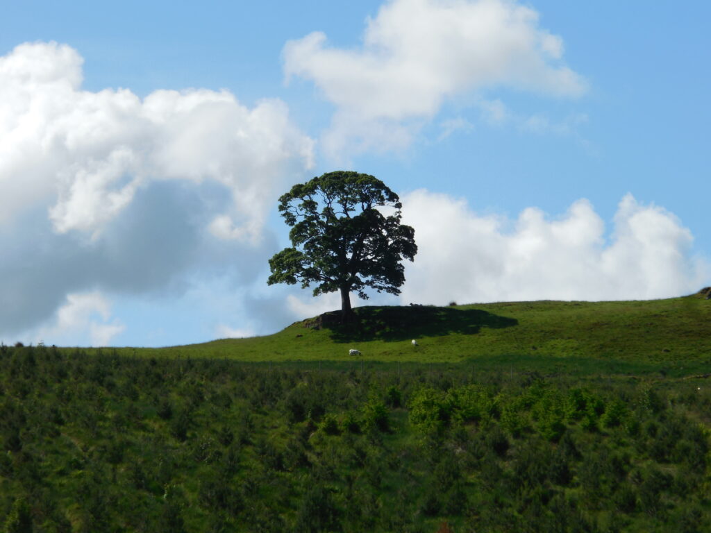

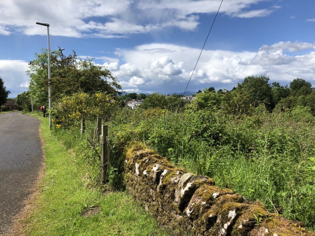
Overgrazing has made much of Scotland treeless. Truly outstanding in its field, the tree on the left was both tall and highly visible. As we walked along, we enjoyed the broad vistas and the ever-changing clouds.
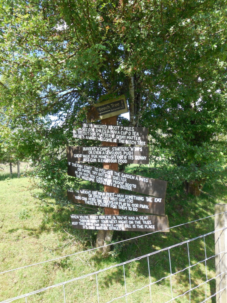
The folks at the Beech Tree Inn have a wonderful sense of humor, good food, and a fun petting zoo. After hiking seven miles on a warm sunny day, we were happy to eat the yummy food inside in the cool shadows.
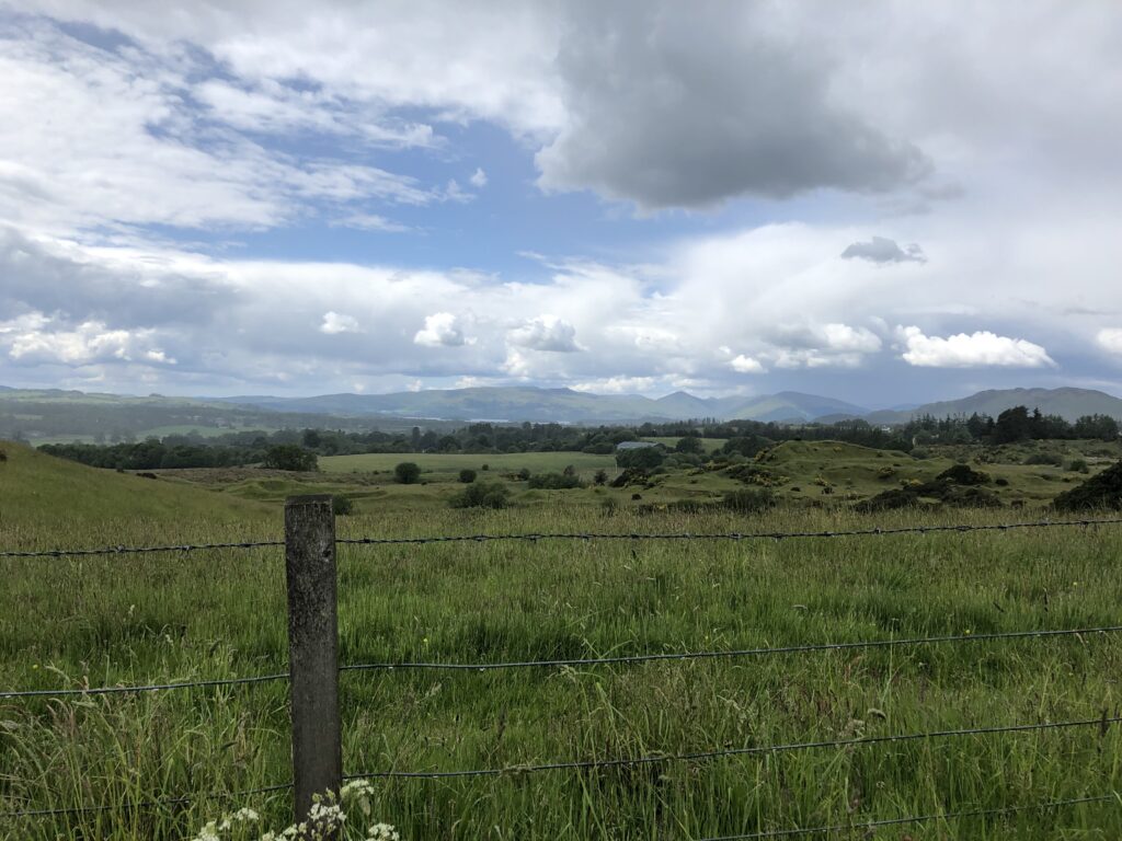
We caught glimpses of far-off mountains, reminding us that footstep by footstep we were approaching the Highlands!
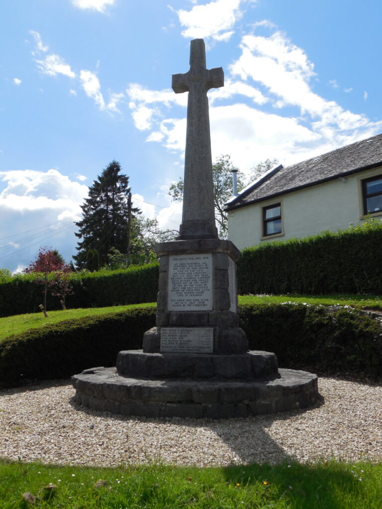
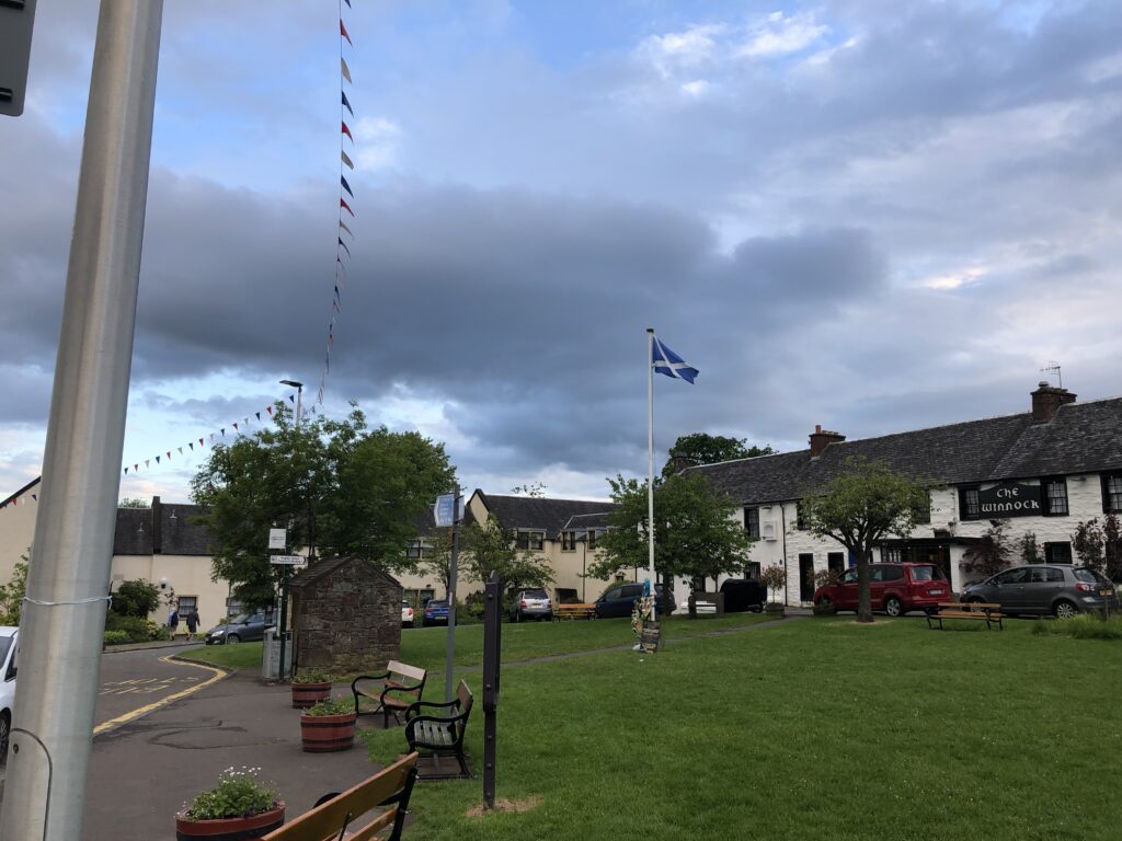
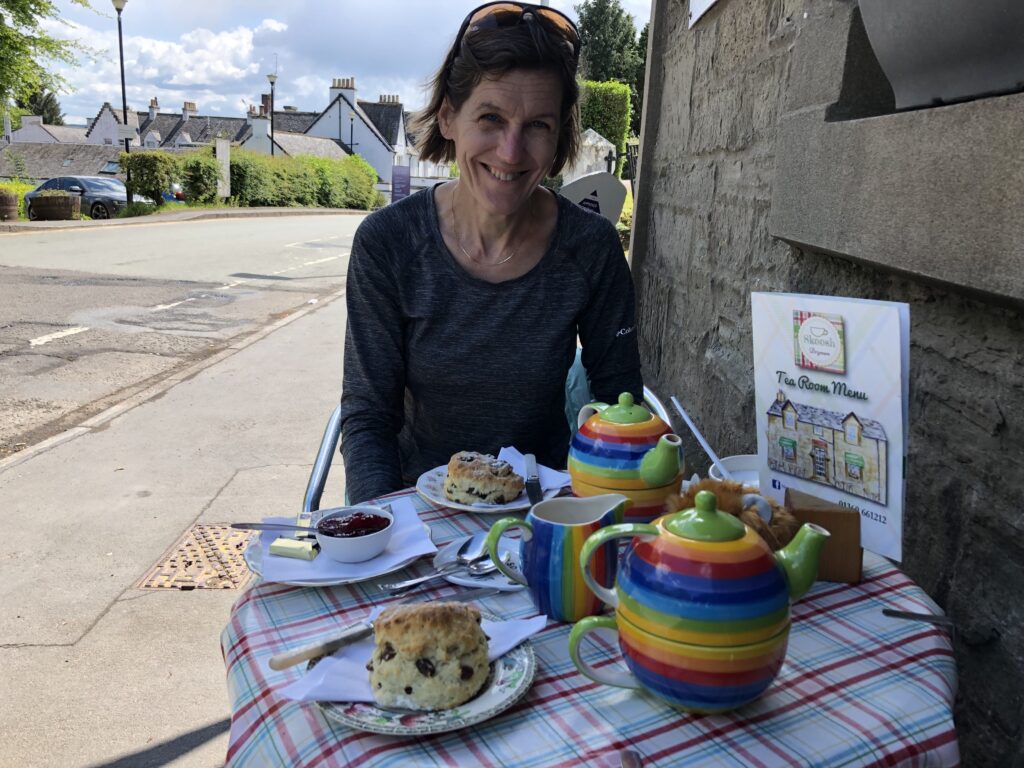
The weather was beautiful, and we really enjoyed our walk to Drymen. In Drymen, as in most Scottish towns, a war memorial was located in the town center, giving evidence of the terrible human cost of World War I. Once we made it to Drymen, we set about finding the most important thing — a good tea shop!
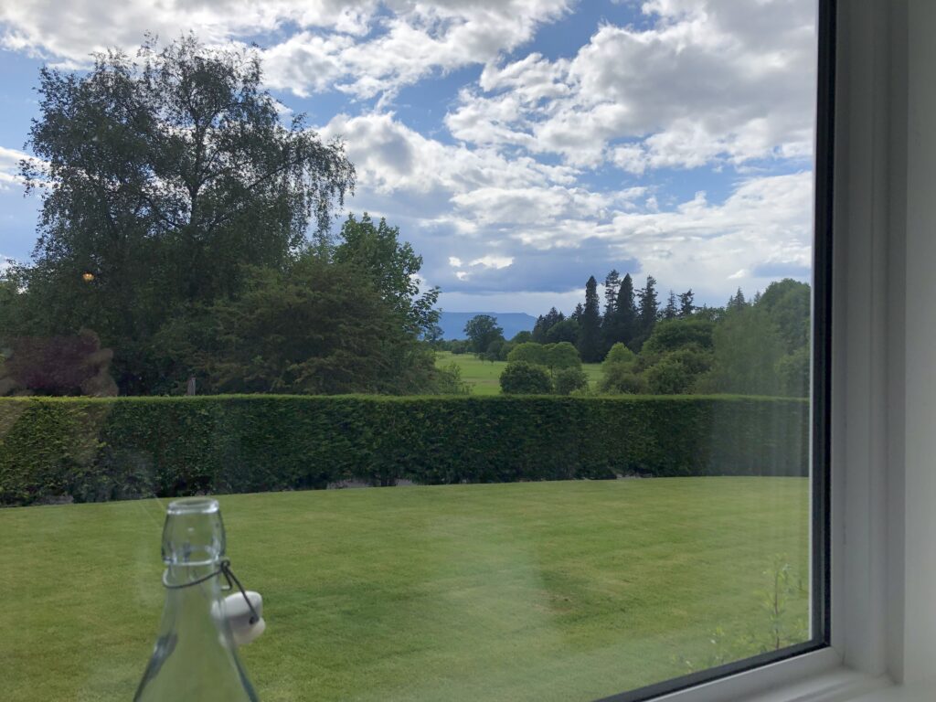
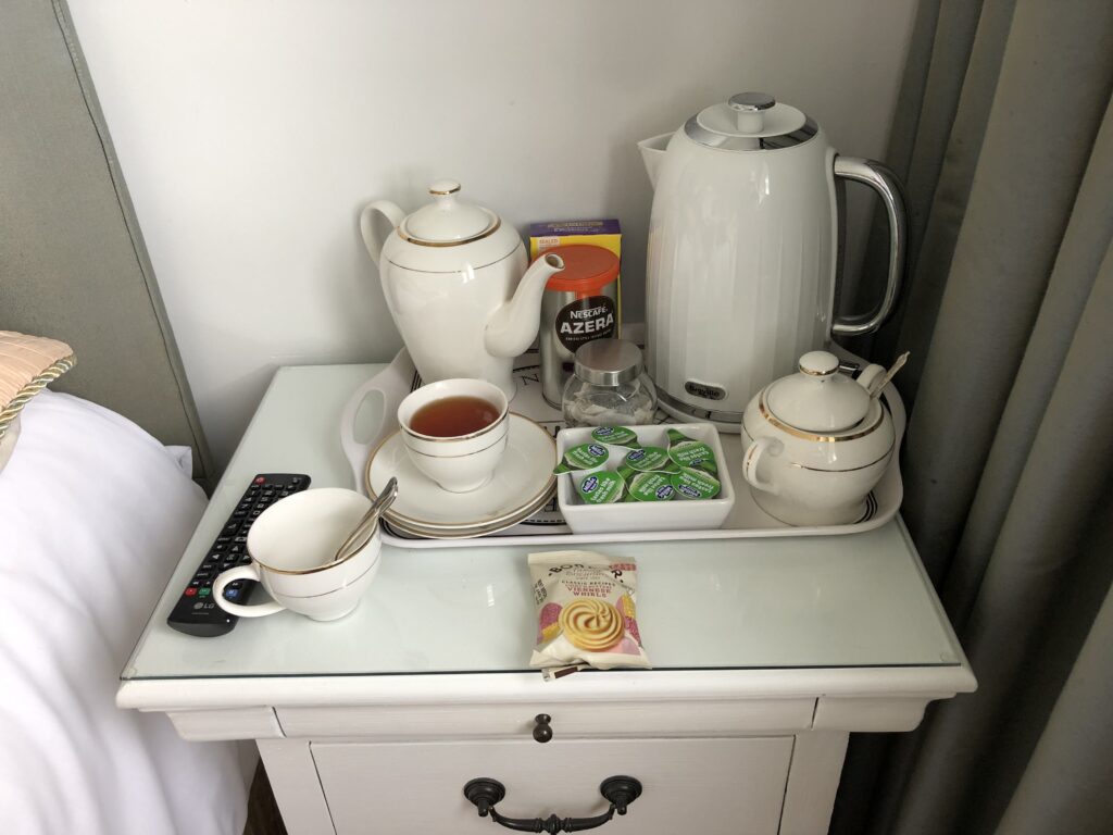
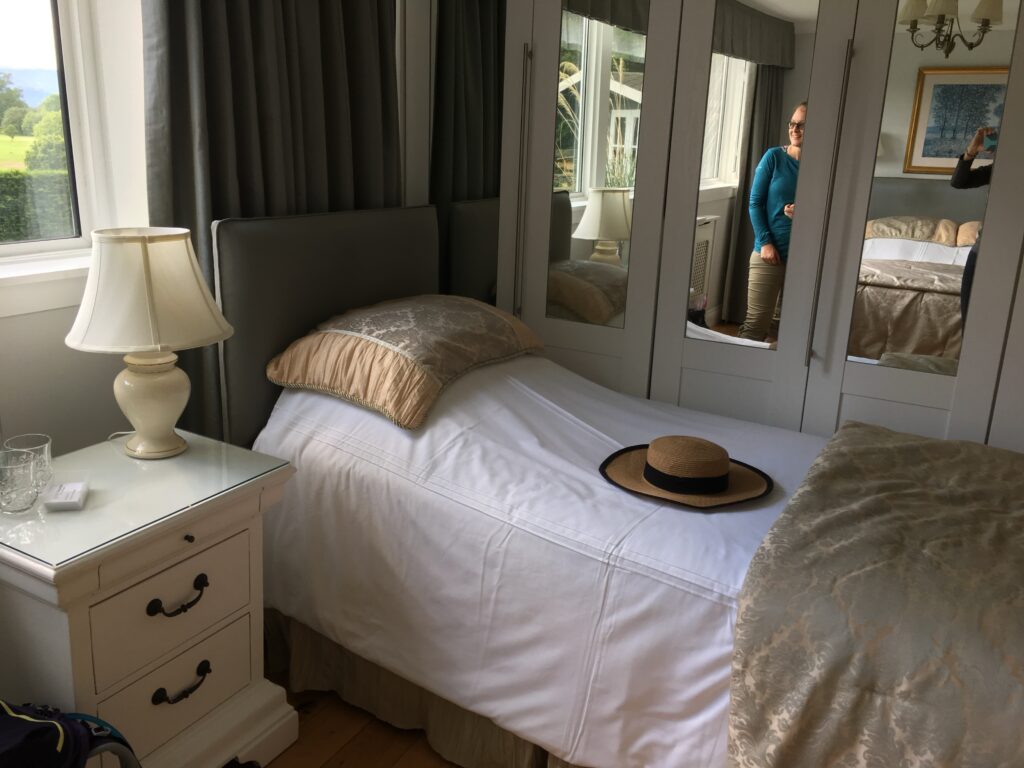
We stayed at Green Shadows, an elegant B&B with outstanding views of both the sky and the cloud shadows that danced over the fields. We were thoroughly spoiled by our hosts, who not only made a dinner reservation for us but drove us to the pub and back!
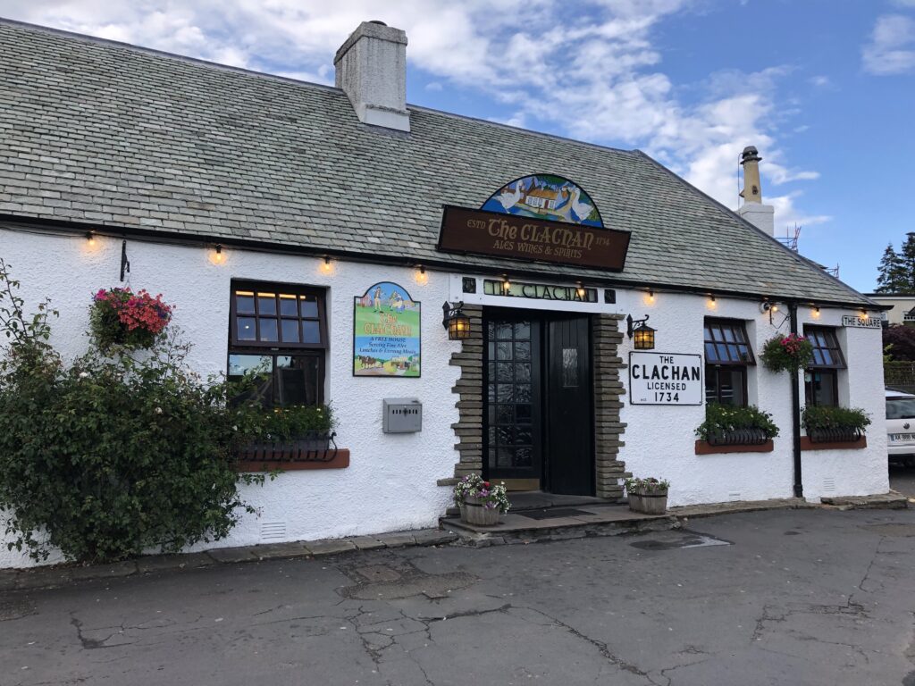
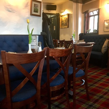
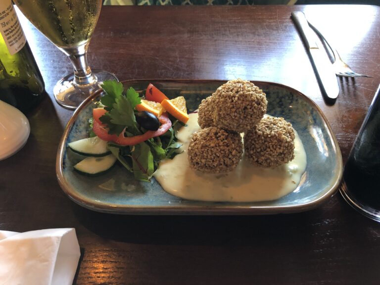
The Clachan, established in 1734 and supposedly Scotland’s oldest licensed pub, had a wonderful old-world atmosphere — dark and comfortable. I had had a negative experience with haggis the year before so I was reluctant to try haggis again, but, at the urging of both our B&B hosts and the server at the Clachan, we ordered deep-fried haggis balls. They were delicious! This successful venture into Scottish cuisine emboldened us to try other local dishes further along the West Highland Way
Day 2 Drymen to Rowardennon
- Distance: 17.5 miles
- Weather: cloudy
- Highlights: walking along Loch Lomond, hiking Conic Hill, taking a cute ferry to Inchailloch, eating a tasty dinner by the fireside at the Rowardennon Inn
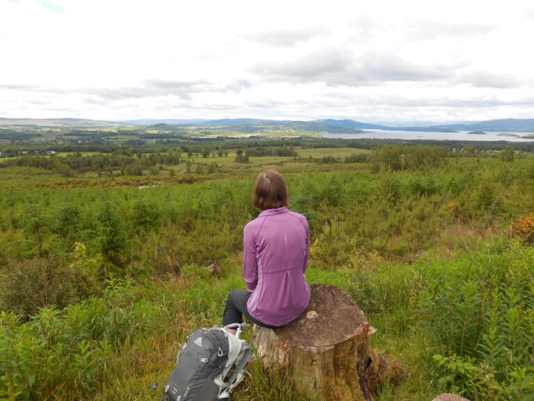
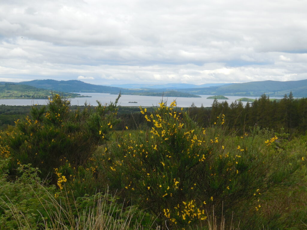
We spent the morning enjoying the broad vistas and getting closer and closer to Loch Lomond. The yellow gorse was in bloom, and it provided a cheery color against the gray.
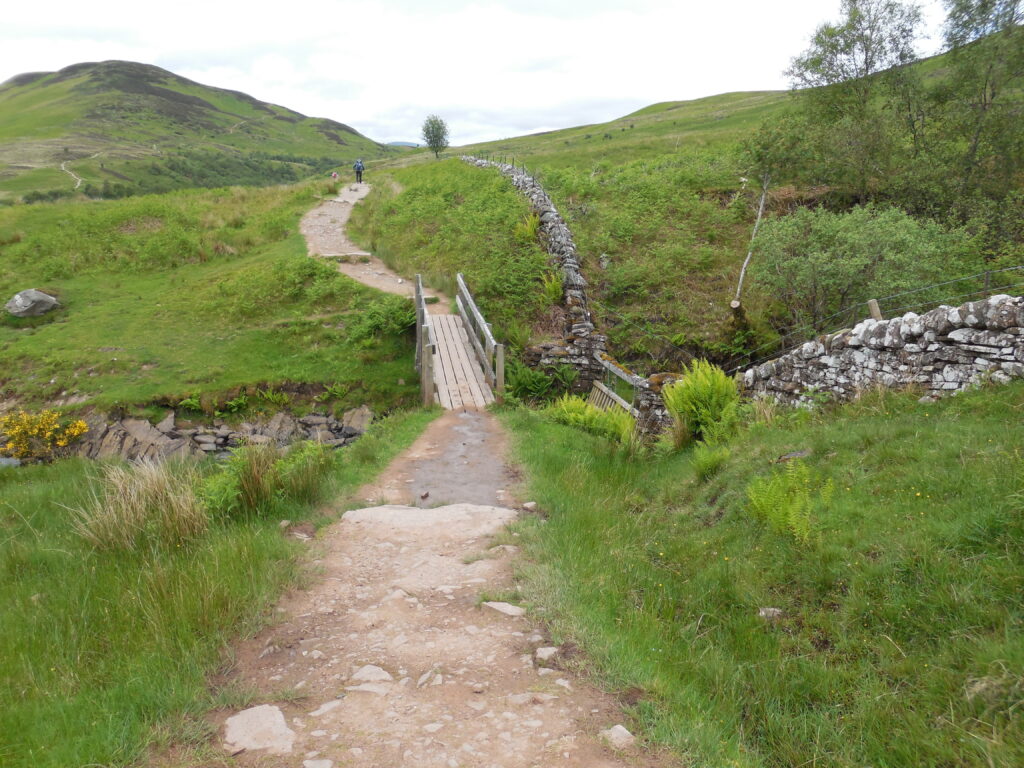
Despite the gray weather, the views were amazing. We could see the Way in front of us, winding up Conic Hill.We crossed many bridges — all the water that comes down from the sky in Scotland needs to go somewhere!
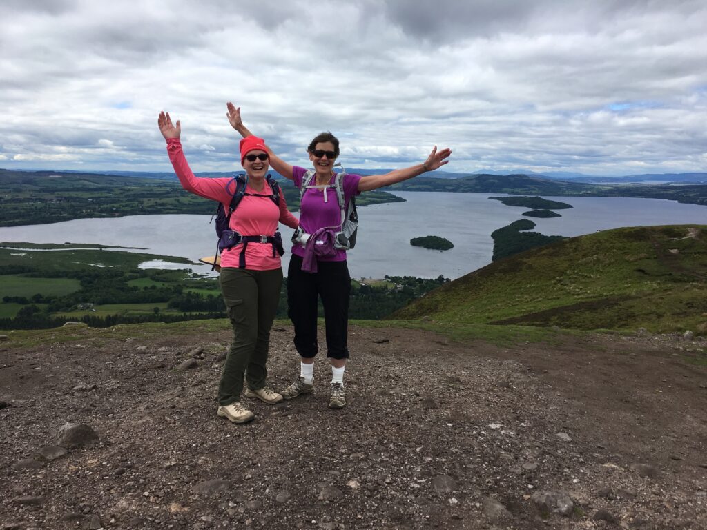
The climb up Conic Hill was steep but fairly short. The views from the top were impressive. We could see the rolling Lowlands on one side and the steeper mountainous Highlands on the other. The Highlands and the Lowlands are separated by a fault line that you can see in this picture — it follows the line of islands across Loch Lomond.
Loch Lomond is an impressive body of water. The largest area of fresh water in Britain, it’s nearly 19 miles long, 4.5 miles wide, and is up to 623 feet deep! The lovely folk song about Loch Lomond, “by yon bonnie banks…..” is considerably grimmer than we usually understand. ‘Loch Lomond’ is a Jacobite song in which the lover dies fighting for his king so his soul will take the ‘low road’ of death instead of the ‘high road’ of life back to Scotland.
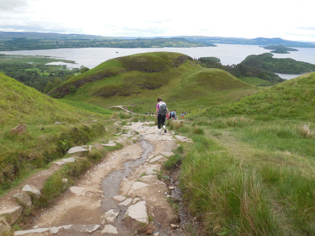
Conic Hill is a fun dayhike from Balmaha, a resort town on Loch Lomond. For the most part the West Highland Way was not crowded; the descent from Conic Hill towards Balmaha was the only time on the entire hike that we felt that there were too many people.
Balmaha was a small, cute tourist town right on Loch Lomond with great hiking, interesting shops, and lovely accommodations. I would love to have stayed longer! We did have a funny incident there — we went into a store and asked the reasonable question, “How do you pronounce ‘Inchailloch’?” Looking sadly at us, the clerk replied that Americans can never say ‘loch” correctly so it wasn’t worth our effort!
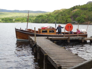
The timing of our arrival in Balmaha was perfect — we walked out the super-long pier to the unbelievably quaint ferry and found out that it was about to do its hourly run to the island. After a short ferry ride, we arrived on Inchailloch, a small island with hiking trails and fantastic views.
Inchailloch is a national nature reserve. St. Kenigema, a missionary from Ireland, settled on the island in the 8th century, and a church dedicated to her existed on the island from the early 13th century until 1621.
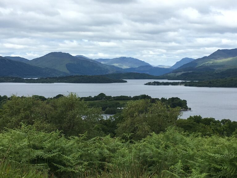
We climbed to the top of Tom na Nigheanan, the highest hill on Inchailloch. The hill may have been short, but it provided stupendous views!
After our trip to Inchailloch, we resumed our walk northward along the ‘bonnie banks’ of Loch Lomond. We had seven miles to walk in order to get to our B&B. The path was easy and the views were amazing! We passed numerous waterfalls. This section of the Way is heavily forested.
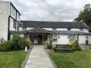
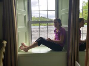
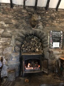
The Rowardennon Hotel was a traditional Scottish hotel, complete with spacious window seats, narrow staircases, plaid carpet, and an impressive set of antlers over the fireplace in the pub. We had dinner at the Clansman Bar at the hotel. Surprisingly, given that it was June, the weather was cool enough that we appreciated our table right next to the warm fire. We had a lovely dinner of fish and chips!
Day 3 Rowardennon to Inverarnan
- Distance: 15.2 miles
- Weather: mostly sunny!
- Highlights: walking along the banks of Loch Lomond, many many waterfalls, blooming rhodedendrons, a lovely walking path, and a wonderful meal at Beinglas Farm.
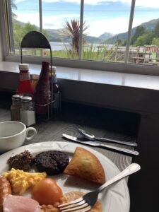
The Rowardennon Hotel served a traditional Scottish breakfast, including not only ham, eggs, boiled tomato, baked beans, and toast, but also blood pudding, a Scottish delicacy I could just not manage to eat. The most noteworthy aspect of this breakfast, however, was the impressive view out out the window!
Heading up out of Rowardennon, we found pleasant lochside walking, gorgeous views, and the sun!
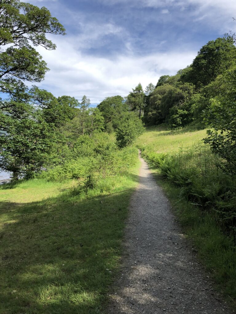
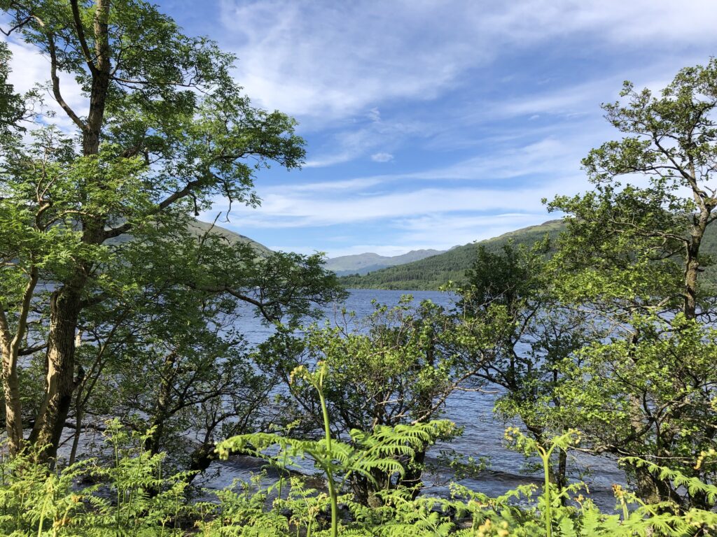
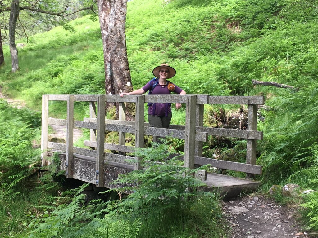
We were so very glad that the sun was shining for this section. With such great visibility, we could really appreciate the spectacular views!
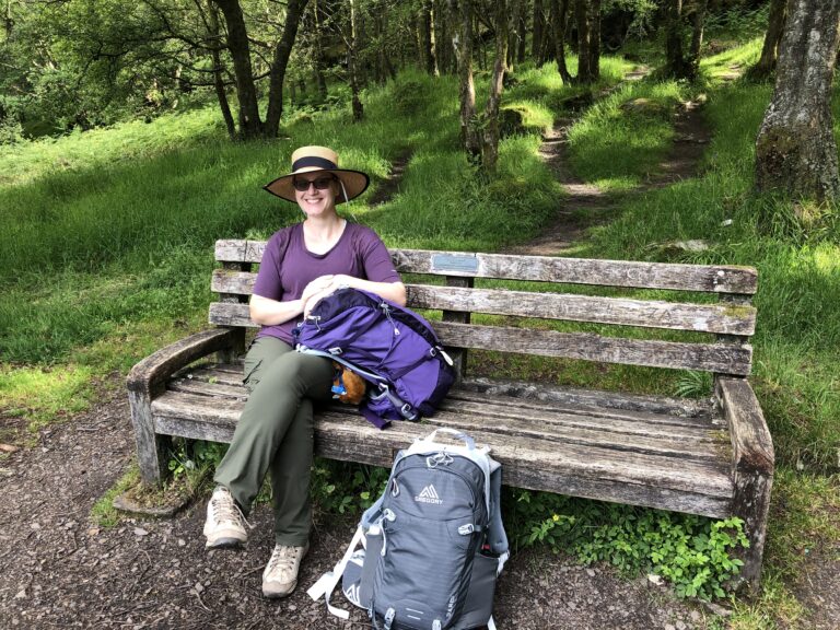
The Scots put benches in the best places! This one had a wonderful view and served as our first snacking place of the day.
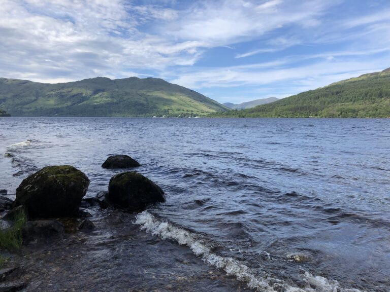
I would love to list which mountains these are, but the mountain names are all in Gaelic, which to me is nearly as unpronounceable as Welsh, so I could not make heads or tails of the words. Associating them with particular places was almost impossible! In any case, the scenery was spectacular.
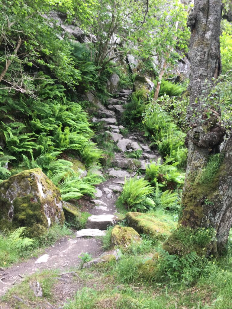
The northern part of the Way along the Loch became progressively rockier. Not all of the Way in this section was as well-ordered as this set of rock stairs. We had to watch our footing!
We were now in the historic lands of Clan MacGregor, particularly notable for the errant outlaw Rob Roy. After living a settled life as the chieftain for many years, Rob Roy MacGregor got into a struggle with the Duke of Montrose which resulted in Rob Roy becoming an outlaw. On the run for ten years, his life was not nearly as heroic as Sir Walter Scott depicted it, but that book is a fun read!
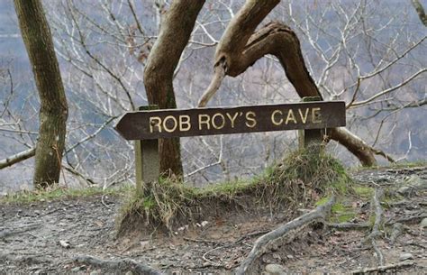
Along this section of the Way we passed a sign for Rob Roy’s cave, where he supposedly hid for a while during his outlaw days. Some say that Robert the Bruce also sheltered in the cave (though a few centuries earlier). The cave is considerably off the path and getting to it involves some serious scrabbling, so after some initial investigations we decided to just walk onwards.
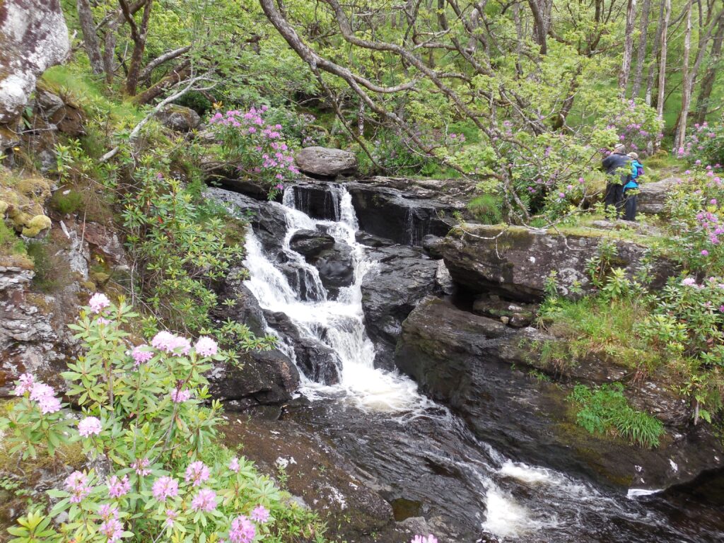
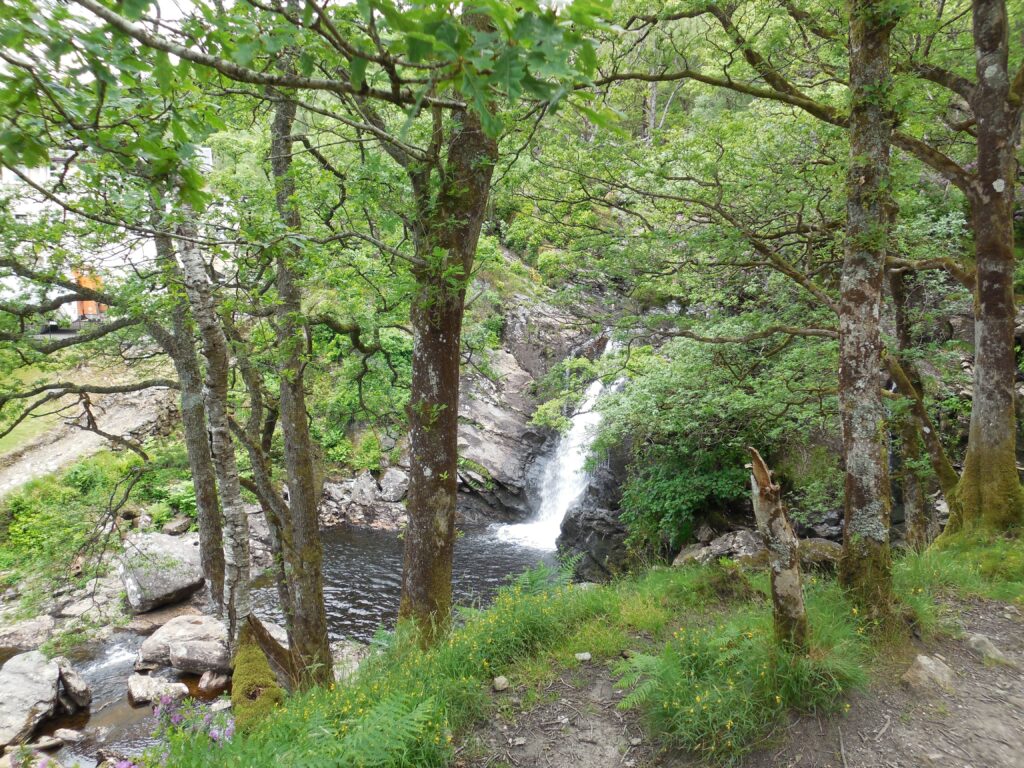
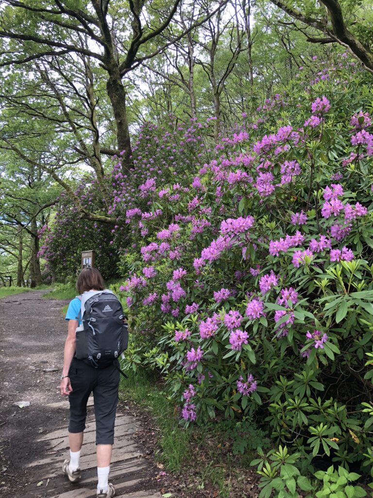
There were many many waterfalls beside the path, each with its own character! Everything was green, the rhodedendrons were spectacular, and the wildflowers were lovely.
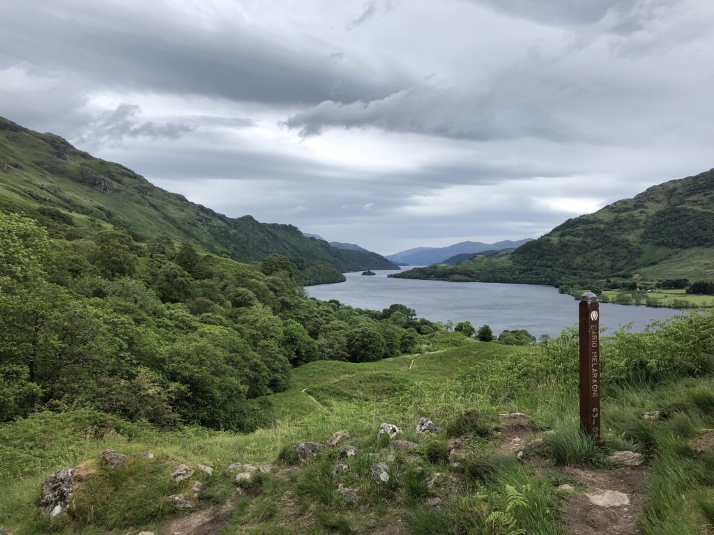
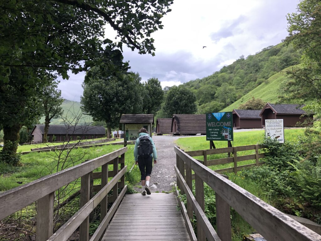
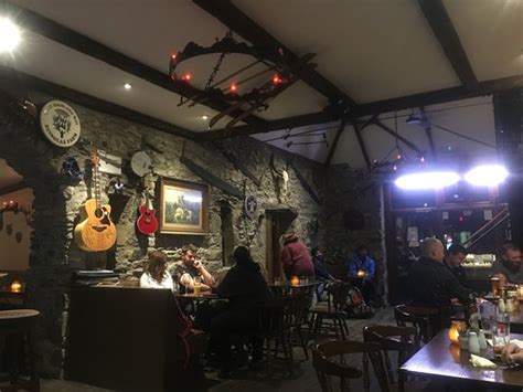
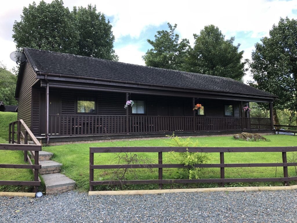
Leaving Loch Lomond behind us, we headed off into the mountains and finally made it to Beinglas Farm, the most surprisingly delightful B&B of the trip. Beinglas Farm is named after the nearby Ben Glas Burn, ben being Gaelic for mountain and burn being Gaelic for stream. As always, after a refreshing shower and a warm cuppa we headed to the pub, where we had a delicious meal of curry and venison stew and the company of two hikers, a German mother and daughter pair.
Day 4 Inverarnan to Tyndrum
- Distance: 13.0 miles
- Weather: mostly sunny
- Highlights: We reached the halfway point! We saw a red deer, a wild goat, Saint Fillan’s Priory, the Holy Pool, the Lochan of the Lost Sword (where Robert the Bruce’s sword supposedly lies!), and the The Green Welly Stop, a well-known tourist shop in Tyndrum. And of course the views kept on getting better and better!
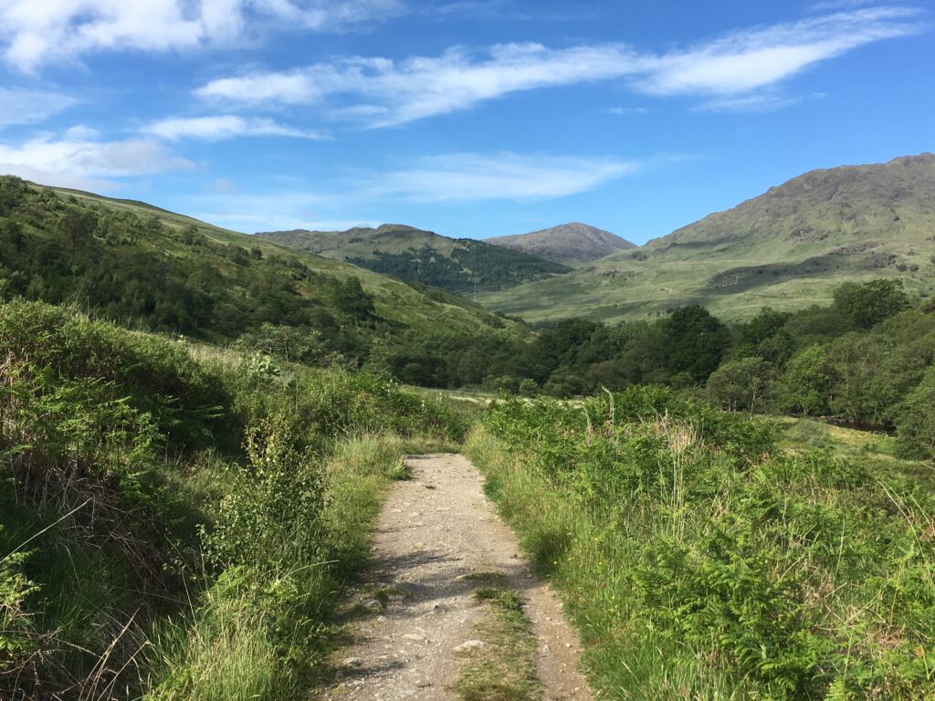
The next three days consisted of amazing view after amazing view after amazing view. These pictures cannot possibly do the scenery justice. We walked into the mountains and new peaks unfolded at every turn.
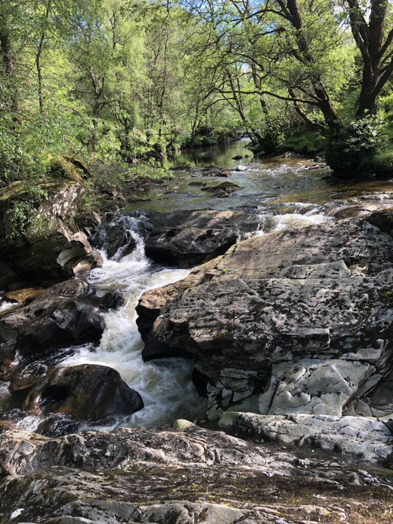
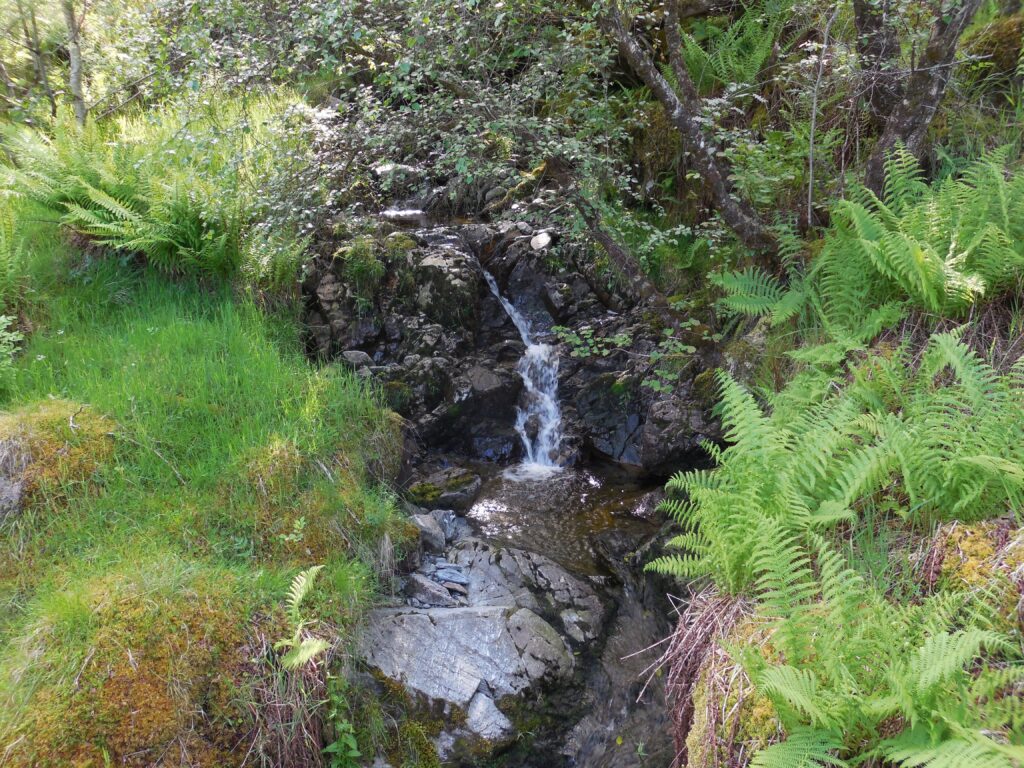
We continued to see an abundance of waterfalls, all beautiful and all so very different. Often walkers stop for lunch in Crianlarich, but we decided to continue on the Way. Right after the turnoff for Crianlarich we found a picnic table with a great view where we had a well-deserved snack.
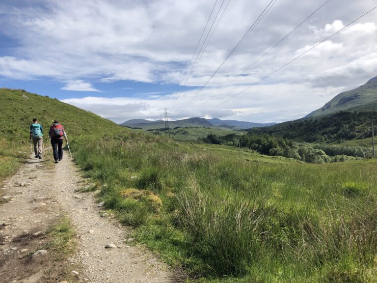
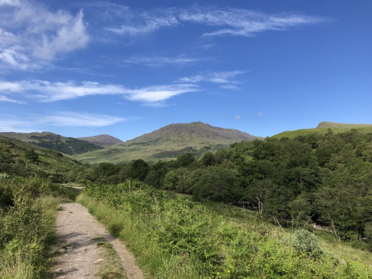
I felt like I was walking into the breathtaking scenery. Always onwards and upwards!
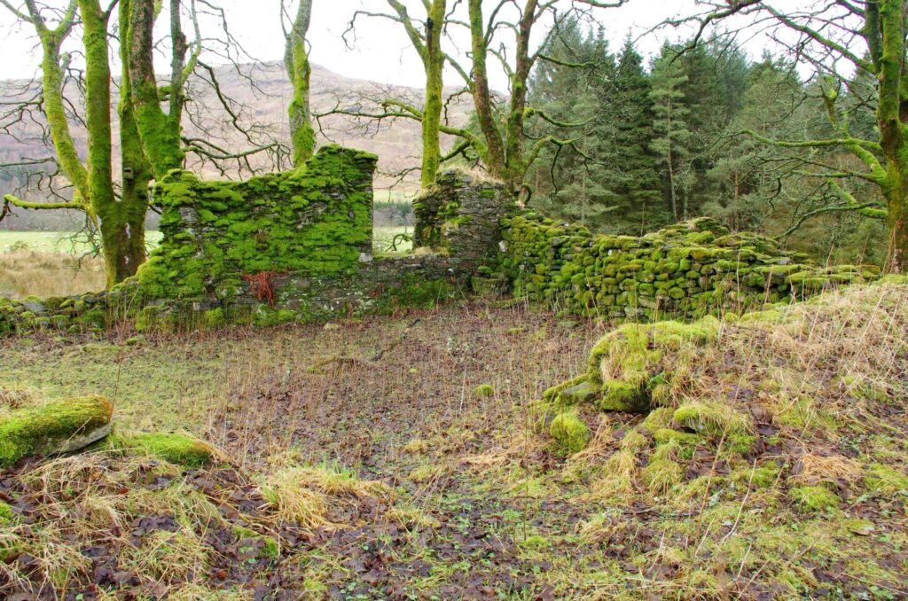
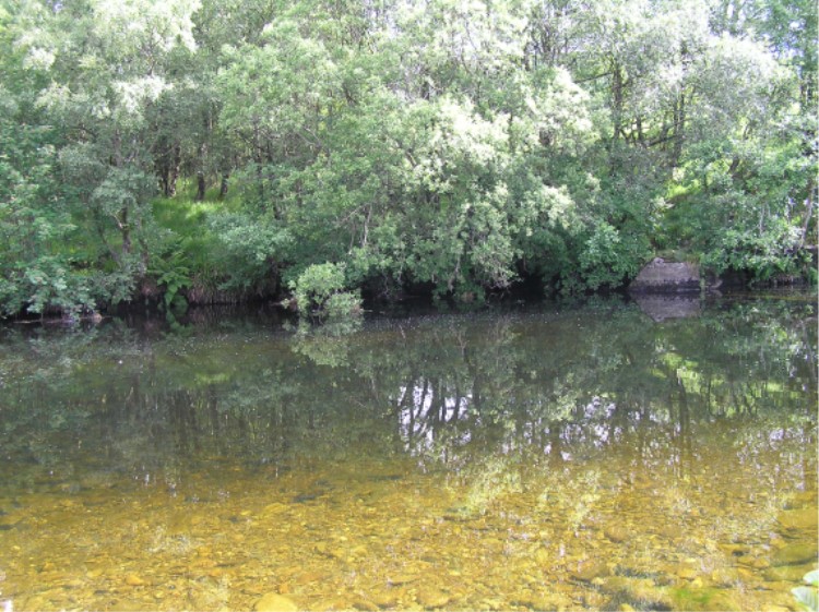
We walked by the ruins of St. Fillan’s Priory. I had never heard of St. Fillan before, but he was a 7th century Irish evangelist who settled in this area. The priory was built in the late 12th century, and Robert the Bruce even carried a relic of St. Fillan into the battle at Bannockburn. We lunched beside the Holy Pool, a peaceful pond where healings were supposed to occur.
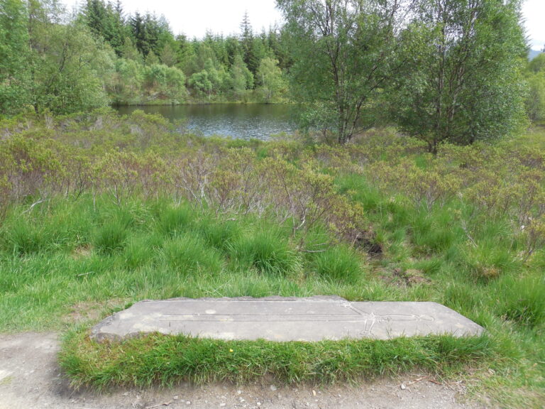
We passed the Lochan of the Lost Sword, where either Robert the Bruce or William Wallace (history is unclear on the point) supposedly cast his sword into the depths.
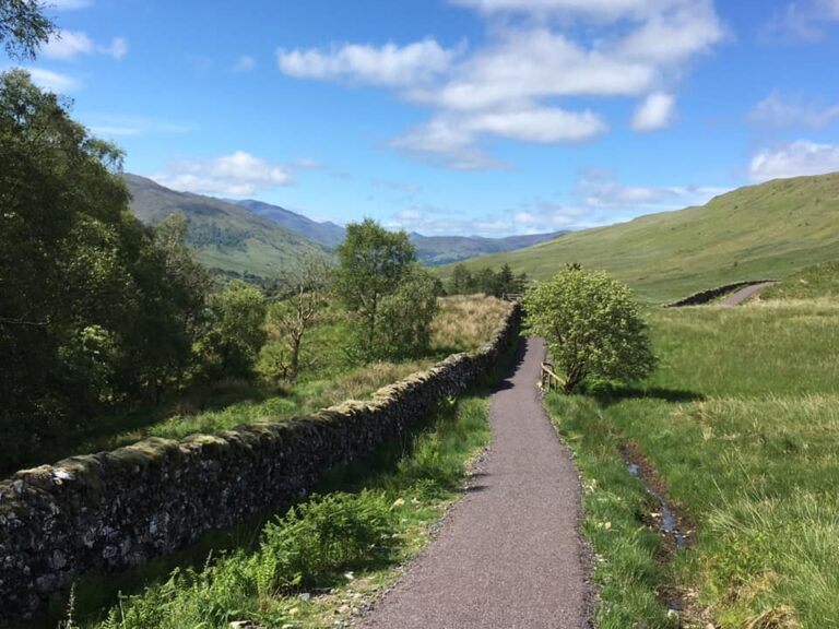
Glorious weather and impressive views. What a day!
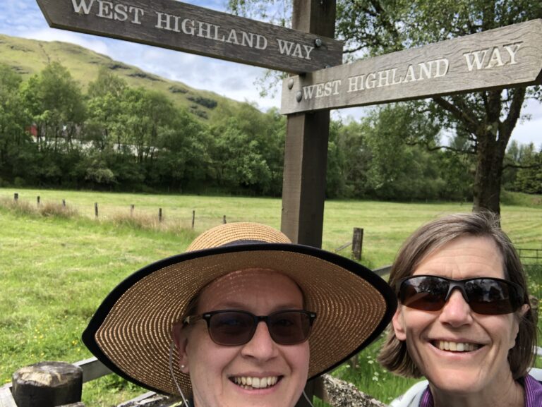
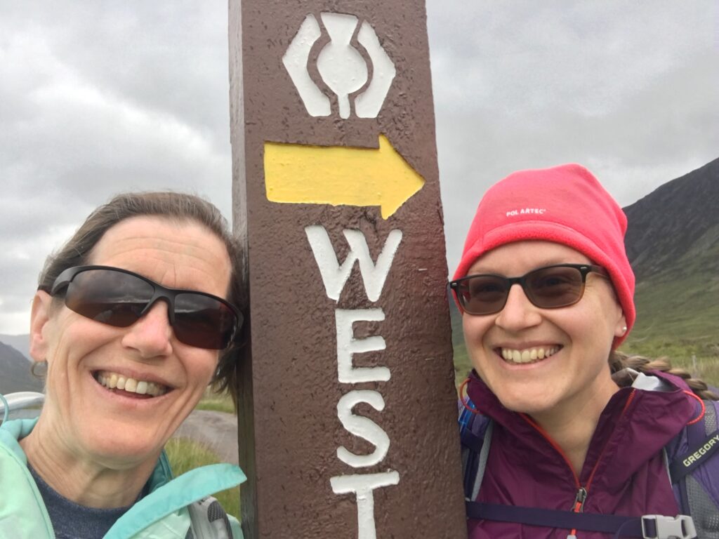
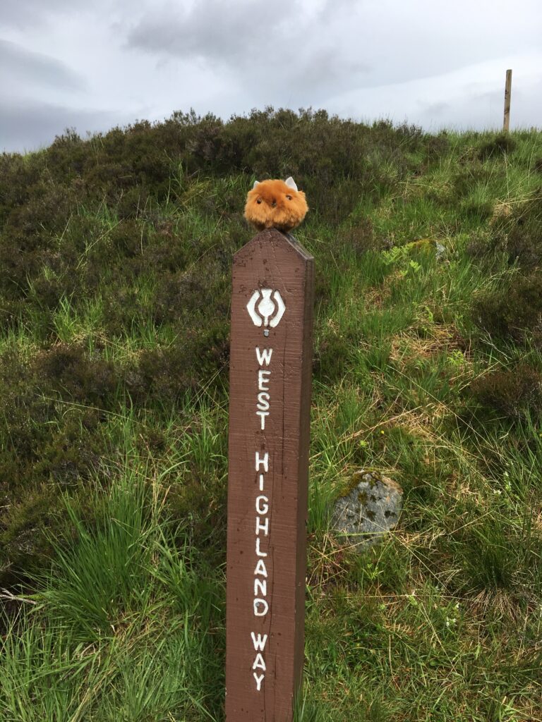
Sometimes you need a sign! The West Highland Way was very well sign-posted, and we never inadvertently got off the trail, though we did make more than a few detours to see sites along the way.
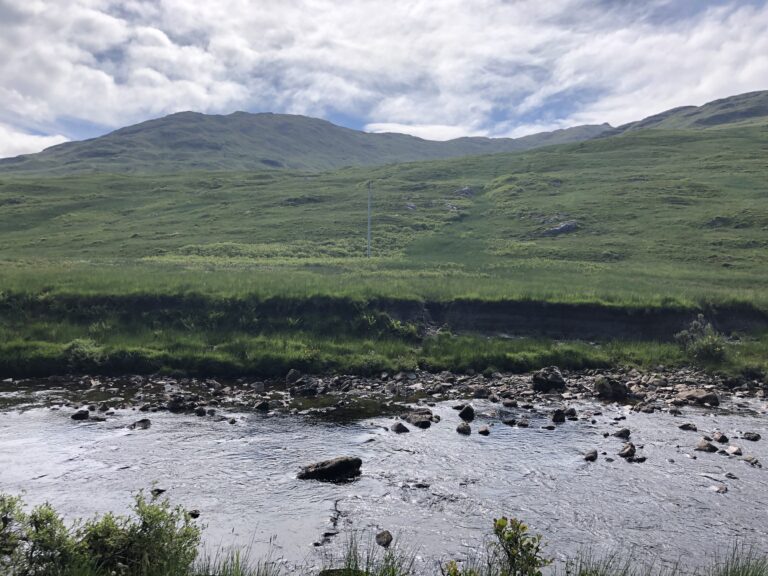
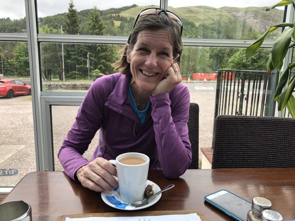
We finally made it to Tyndrum, a good-sized village and our stopping place for the night. It used to be a stop for the cattle drovers as they walked their cattle from Skye and other northern parts south to to the cattle markets in Falkirk and Creff. At the moment its main claim to fame seems to be the Green Welly Stop, a large tourist emporium. After poking round there, we had dinner at a place called the Real Food Cafe, where we had stovie with beets and oatcakes — a delicious culinary adventure.
In Tyndrum we met the only other Americans we encountered on the entire trip — a father-daughter pair from New York City. The other hikers on the Way were mostly from either Yorkshire or Europe — mostly Germany but also Switzerland, Belgium, and France. A handful of Canadians were also doing the walk.
Day 5 Tyndrum to Kingshouse
- Distance: 19.7 miles
- Weather: traditional Scottish weather, with mist and rain and dramatic clouds
- Highlights: crossing Rannoch Moor, seeing Ba Cottage and the unveliavably spectacular mountain Ben Etive guarding the entrance to Glen Coe, and a mouth-watering dinner at the elegant Kingshouse Hotel.
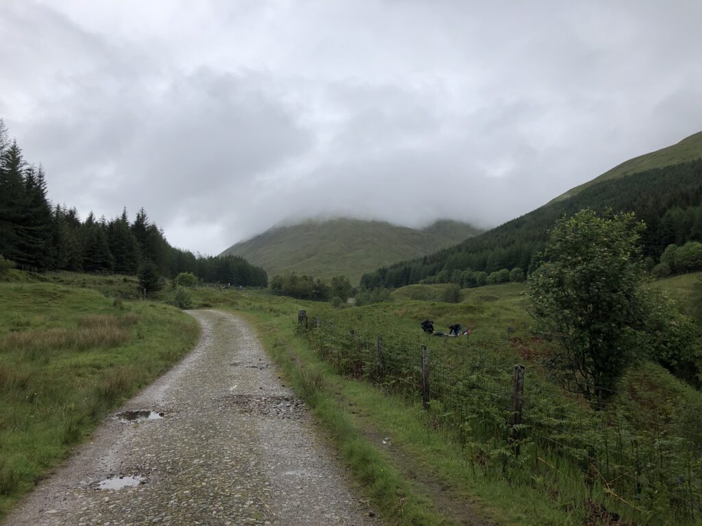
We started the day by hiking along an old military road surrounded by amazing mountain scenery. We passed the Bridge of Orchy and ascended to more spectacular views. This was supposed to be our longest day of walking — thirteen miles still to go before we arrived at our destination!
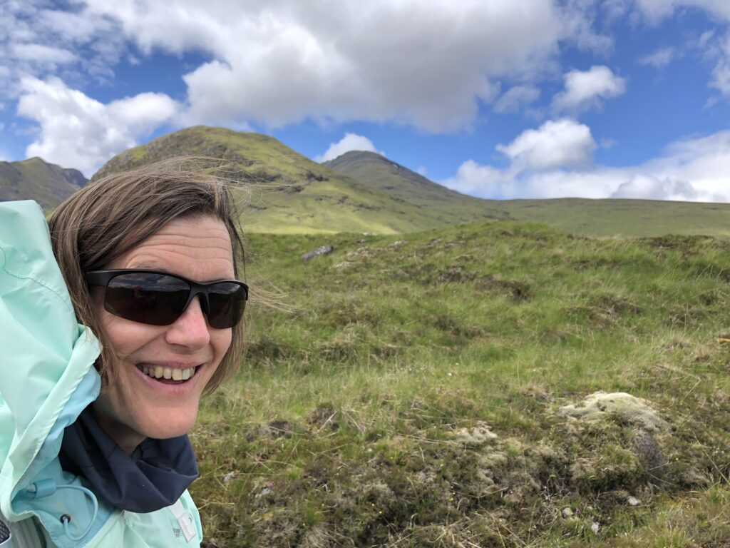
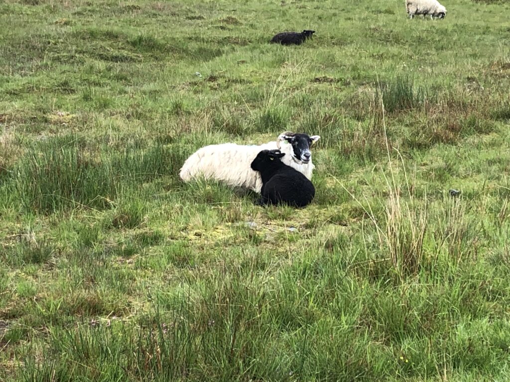
Beautiful barren scenery and sheep — this is Scotland!
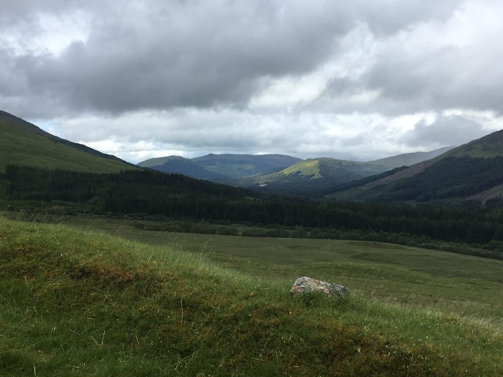
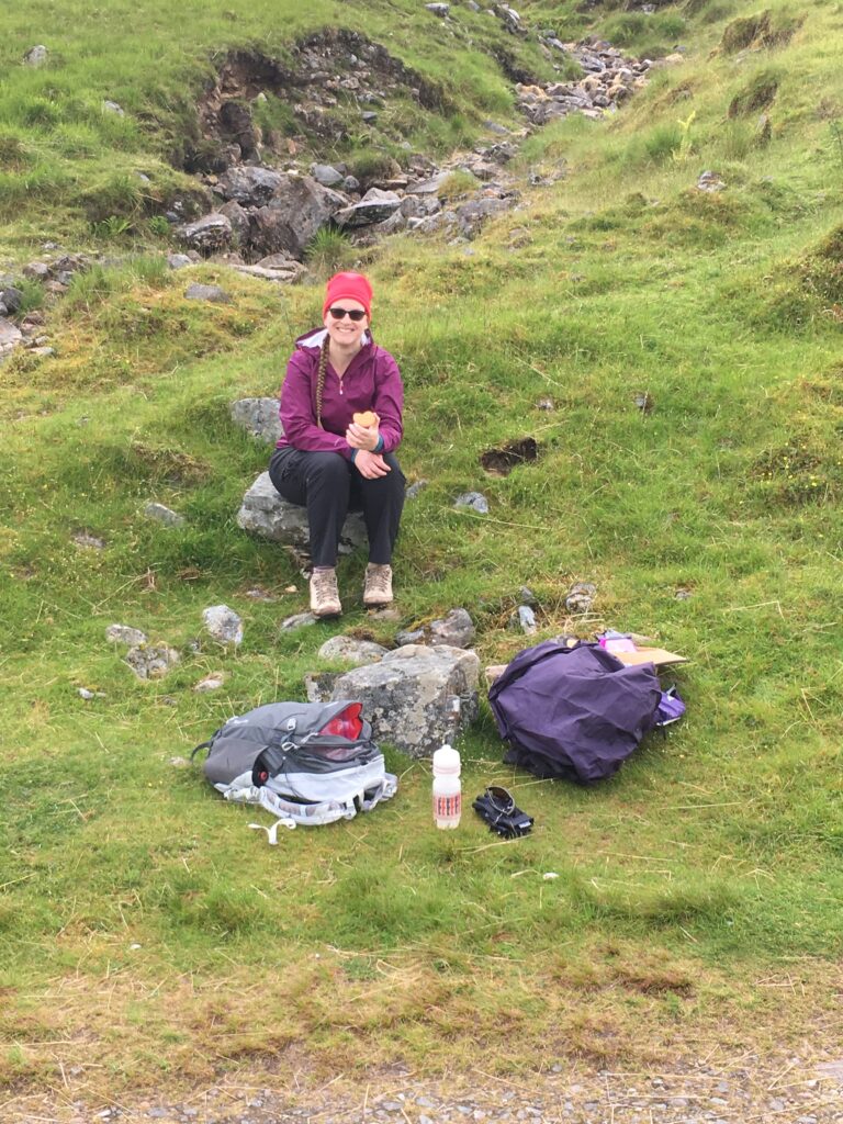
Watching the sunlight play off the clouds and mountains was awe-inspiring. We found some good rocks to perch on for a snack!
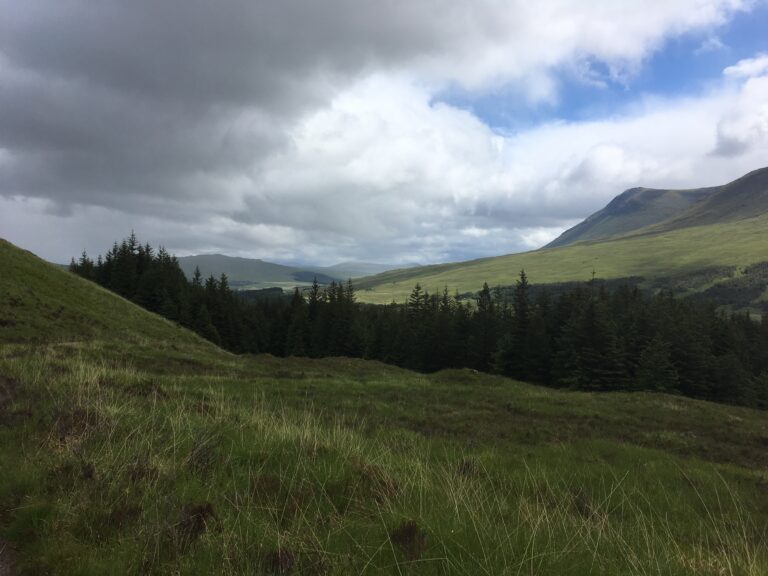
The gorgeous scenery continued…….
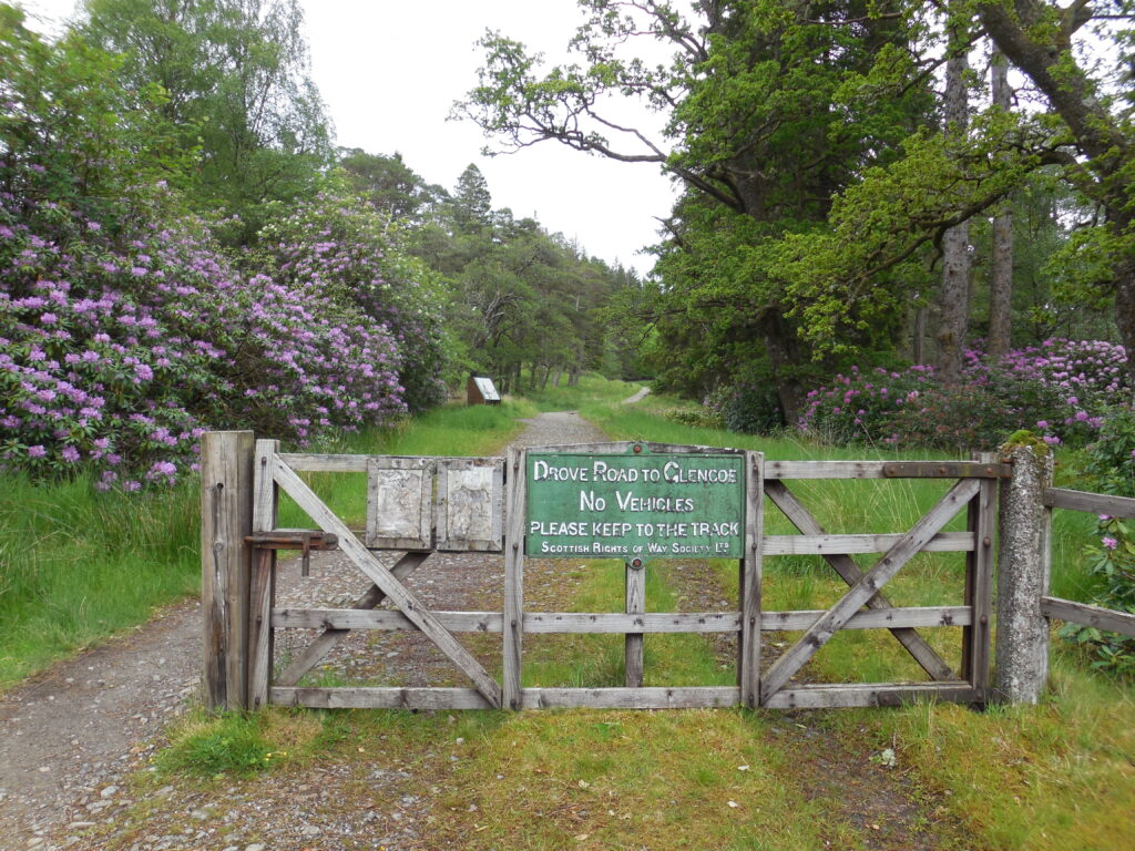
Shortly after first seeing Loch Tulla, we entered entering Black Mount, the Fleming family estate. A sign on a gate announced that we were now on the Drove Road to Glen Coe. We would stay on this road until we reached Kingshouse!
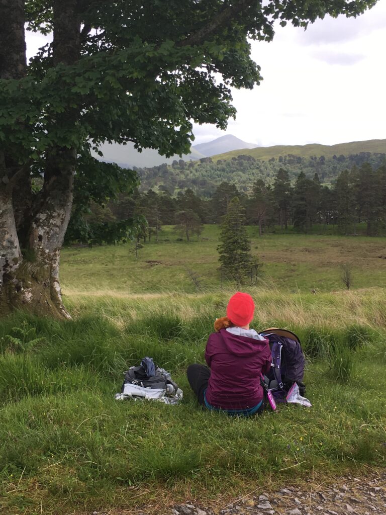
For lunch we found a grassy spot with a wonderful view!
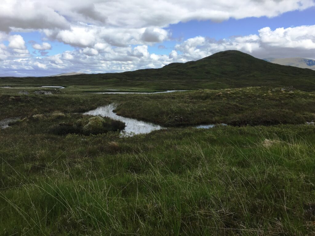
Approximately 50 square miles, Rannoch Moor is the largest undeveloped section of land in the United Kingdom. Rannoch Moor was desolate, wild, remote, haunting, and indescribably beautiful. The light reflected off the thousands of tiny lochans, showing how sponge-like and boggy the entire moor was.
“Anything so bleak and wild, and mighty in its loneliness, it is impossible to conceive”… Charles Dickens, writing about Rannoch Moor.
The West Highland Way follows the old military road across the edge of Rannoch Moor, thereby avoiding the boggy lower areas.
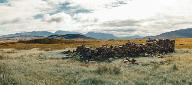
The ruins of Ba Cottage, eerily bleak and extremely isolated, were the only signs of human habitation for miles. This pile of stones must have a fascinating history. Was it a building to shelter drovers? Did an outcast live there? Or maybe a recluse?
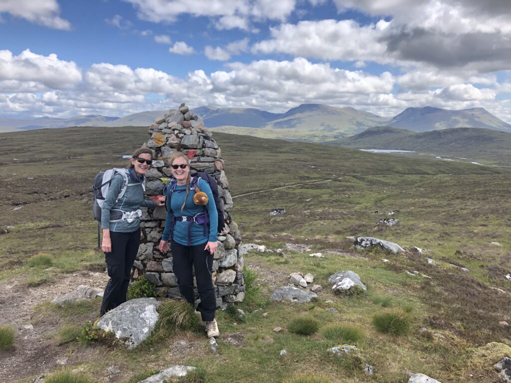
This cairn was built by Ian Fleming (of James Bond fame) in memory of his brother Peter. Quite a scramble above the Drove Road, it provided an awesome view of the moor and the mountains surrounding it.
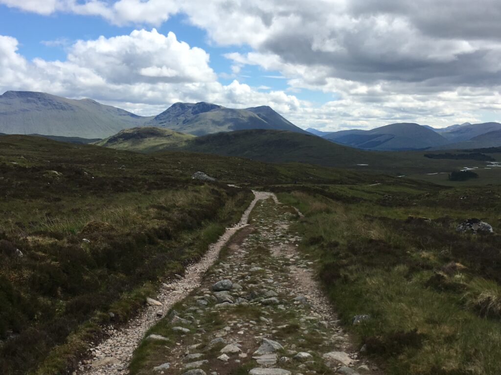
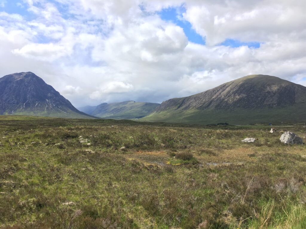
The walk across Rannoch Moor along the Drove Road is long, but the last three miles is an easy downhill. We practically ended up running towards Kingshouse. The majestic entrance to Glen Coe is barely visible in the upper right.
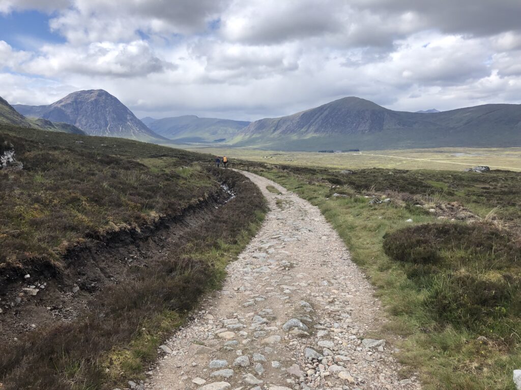
This spectacular view showcases the entrance to Glen Coe. Buachaille Etive Mor (‘the great herdsman of Etive’) is the rocky forbidding mountain on the left, and Kingshouse, our destination for the night, is in the trees below the right-hand mountain.
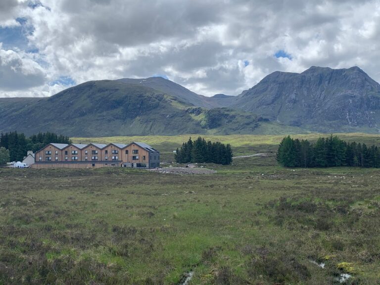
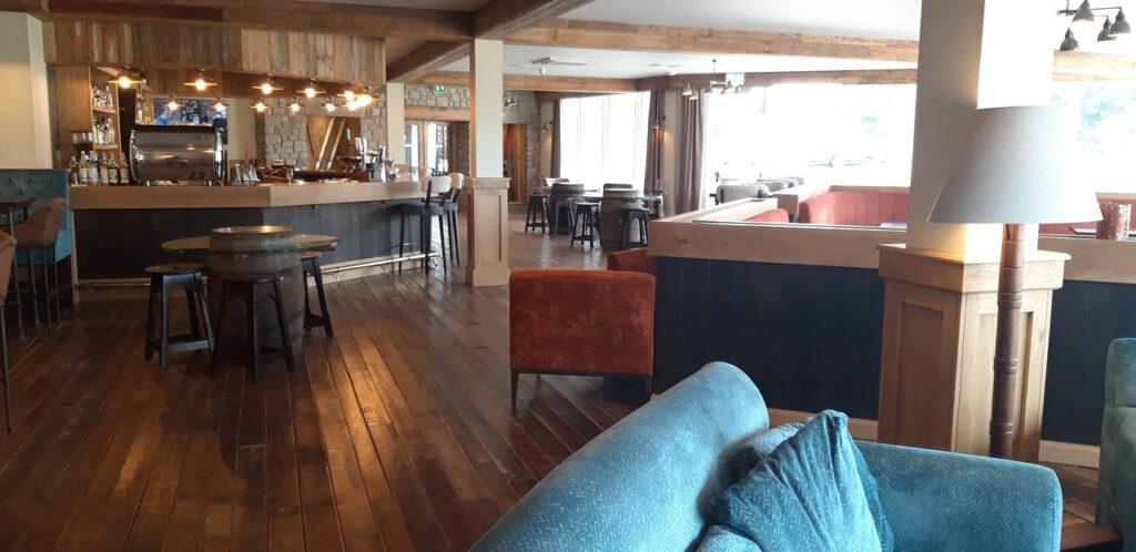
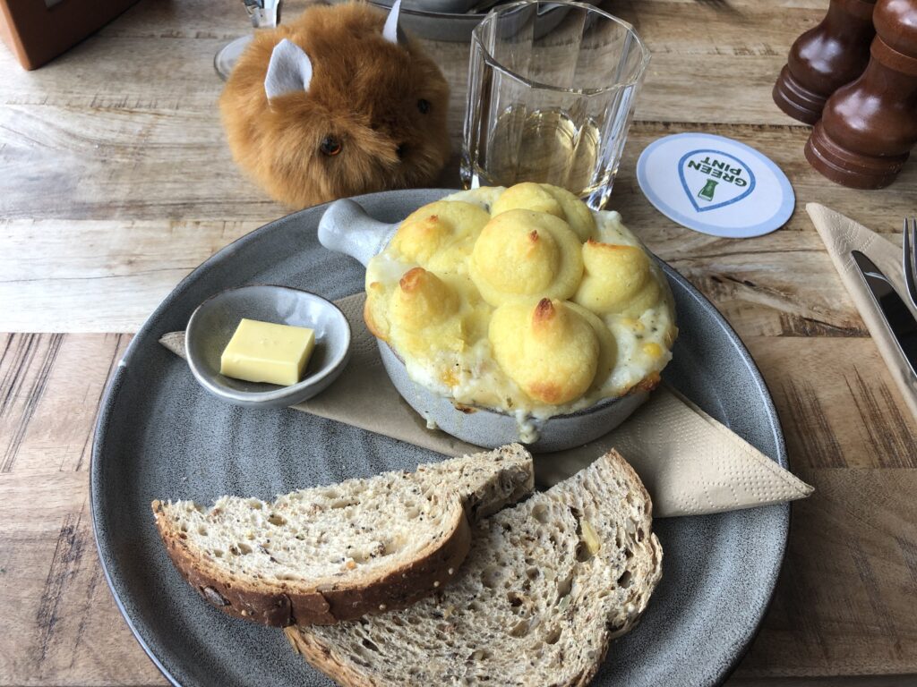
After our 19.7-mile day, we were delighted to arrive at the luxurious Kingshouse Hotel. We collapsed in our room, had the requisite cuppa and shower, and headed to the pub for a pint. We sat and played cards and enjoyed the incredible views. Comfortably ensconced at our table, we eventually ordered cullen skink (smoked haddock and potato soup) and continued to enjoy our well-deserved relaxation.
The original Kingshouse Inn, one of the oldest in Scotland, was built in the late 18th century for travelers crossing Rannoch Moor. As the name suggests, it was later used by the English army during the subjugation of the Highlands in the 18th century. In 2018 the old inn was entirely refurbished and enlarged, and it is now an upscale modern hotel. We thoroughly enjoyed our stay there.
Day 6 Kingshouse to Kinlochleven
- Distance: 9.6 miles
- Weather: cloudy alternating with sun and mist
- Highlights: The views, the tiny white cottage, the Devil’s Staircase, views of the Mamores and the Blackwater Reservoir, cranachan (a Scottish dessert!)
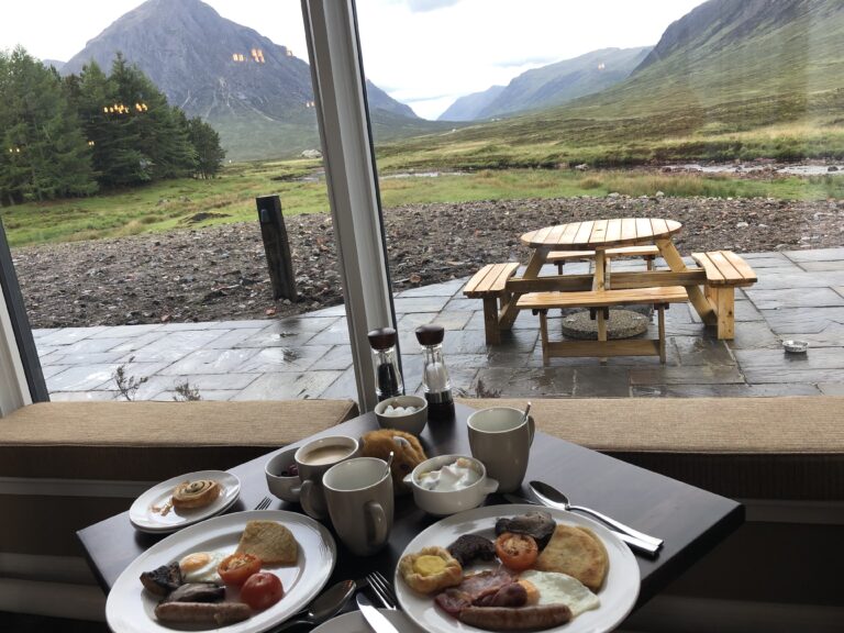
After a wonderful Scottish breakfast accompanied by magnificent views we set off for the Devil’s Staircase.
We started off the morning by walking next to A82 for a few minutes, bringing us into Glen Coe. The rocky forbidding mountains towered over us.
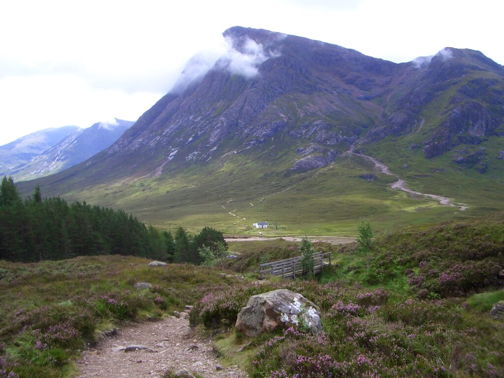
Buchaille Etive Mor, the rocky prominence that guards Glen Coe, overshadows the entrance to Glen Coe and the tiny Lagangarbh hut, supposedly the most photographed cottage in Scotland.
The village of Glen Coe is about nine miles further down the glen, but certainly the vastness and stillness of the area are stark reminders of the massacre that occurred in this area in 1692. Catholic and traditionally Jacobites, the MacDonalds had delayed swearing allegiance to the new Protestant monarchs, William and Mary. This delay was assumed to be an act a rebellion and had serious political repercussions — a group of loyalist Scottish soldiers billeted with the MacDonalds for two weeks and then attacked the village and slaughtered over thirty of the residents of Glen Coe. The flagrant violation of the ancient code of hospitality and the shocking sanction of the crown made this dreadful episode infamous.
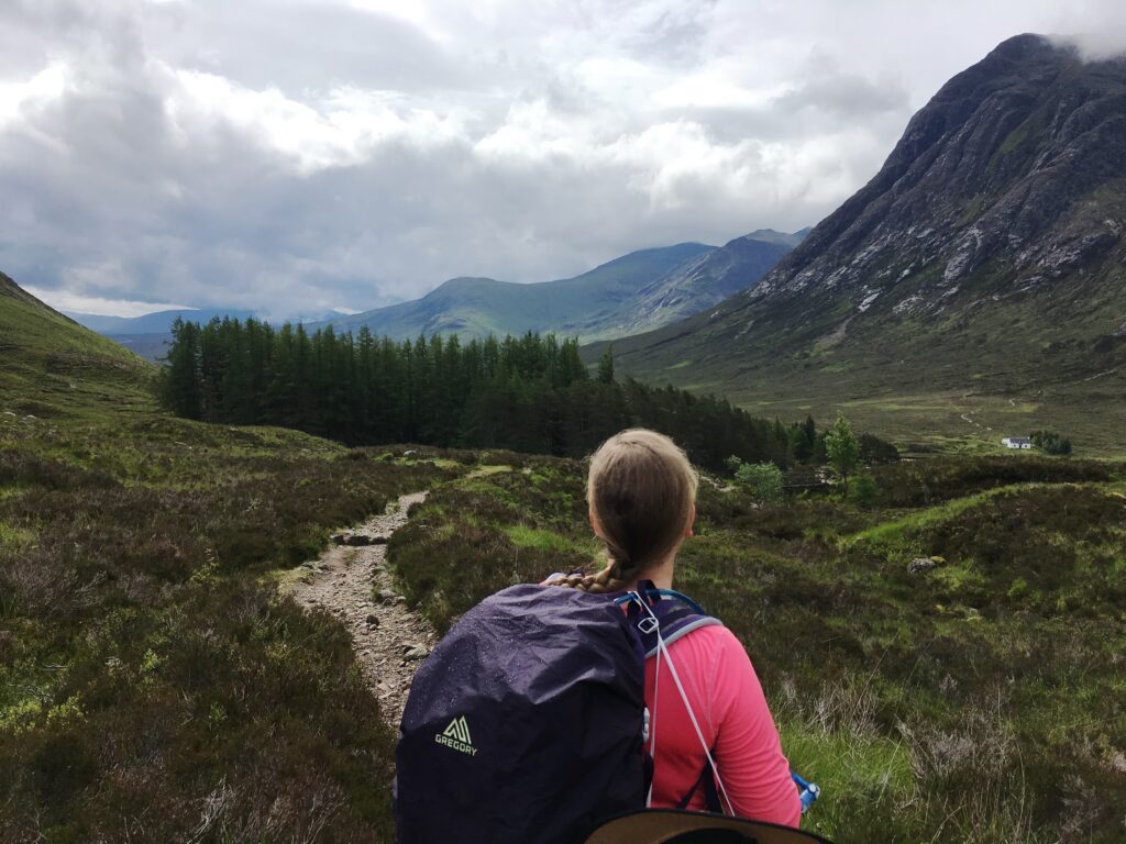
This the the view down from the beginning of Devil’s Staircase from the bottom looking across the valley towards Buchaille Etive Mor and the mountains beyond.
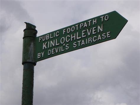
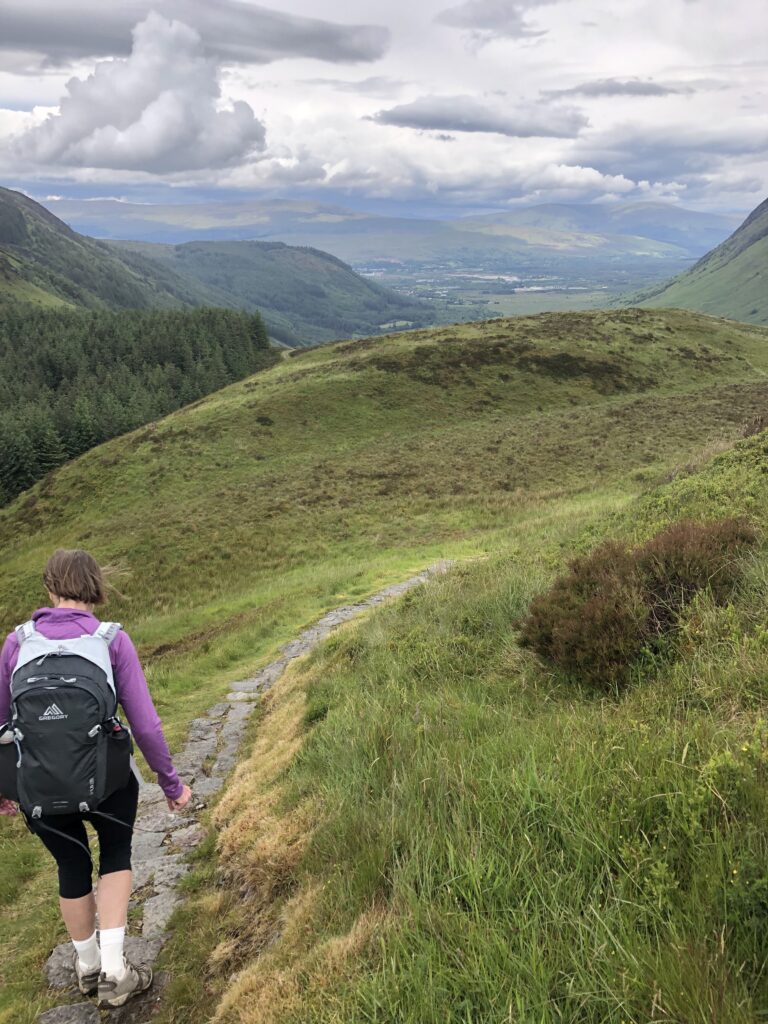
We continued following the West Highland Way signposts up and up and up the Devil’s Staircase, gradually leaving the spectacular valley of Glen Coe far below us. Despite its name, the climb was actually not too hard, perhaps because we were carrying daypacks instead of military supplies!
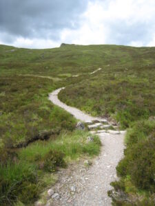
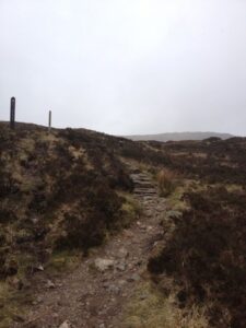
The Devil’s Staircase has many zigs and zags as it climbs up to the small pass at Aonach Eagach.
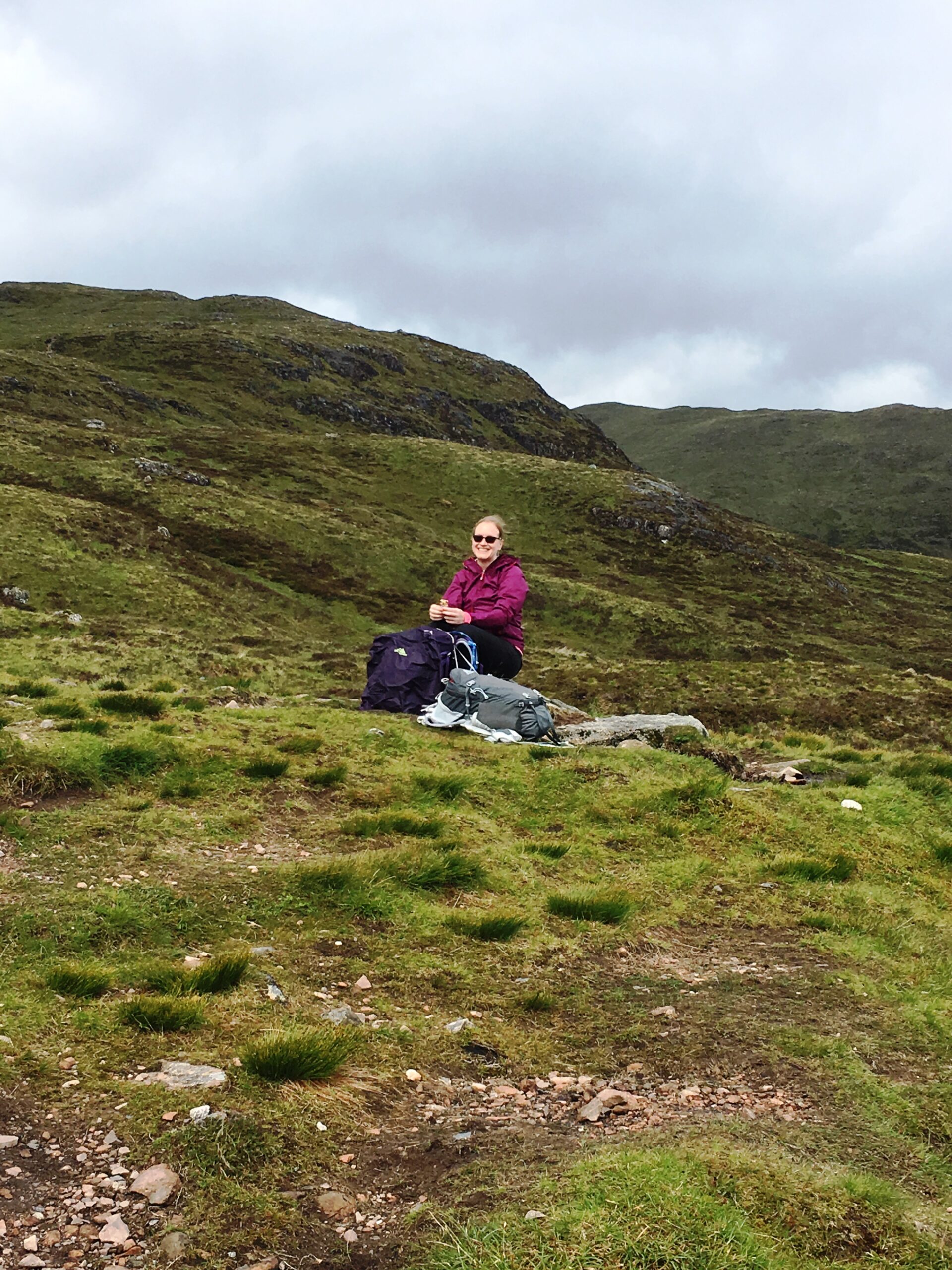
We stopped for lunch at the top of Devil’s Staircase, awed by the mountains surrounding us in every direction.
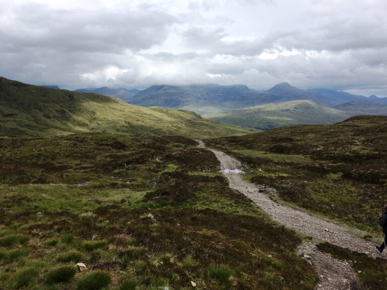
At the top of Devill’s Staircase we truly felt like we were on the top of the world.

This cairn marks the top of the Devil’s Staircase, the highest point of the West Highland Way. One of the exciting aspects of long-distance walking is that as you walk along you leave previous areas and suddenly get entirely new views. This is the “new” view of the Blackwater Reservoir from the top.
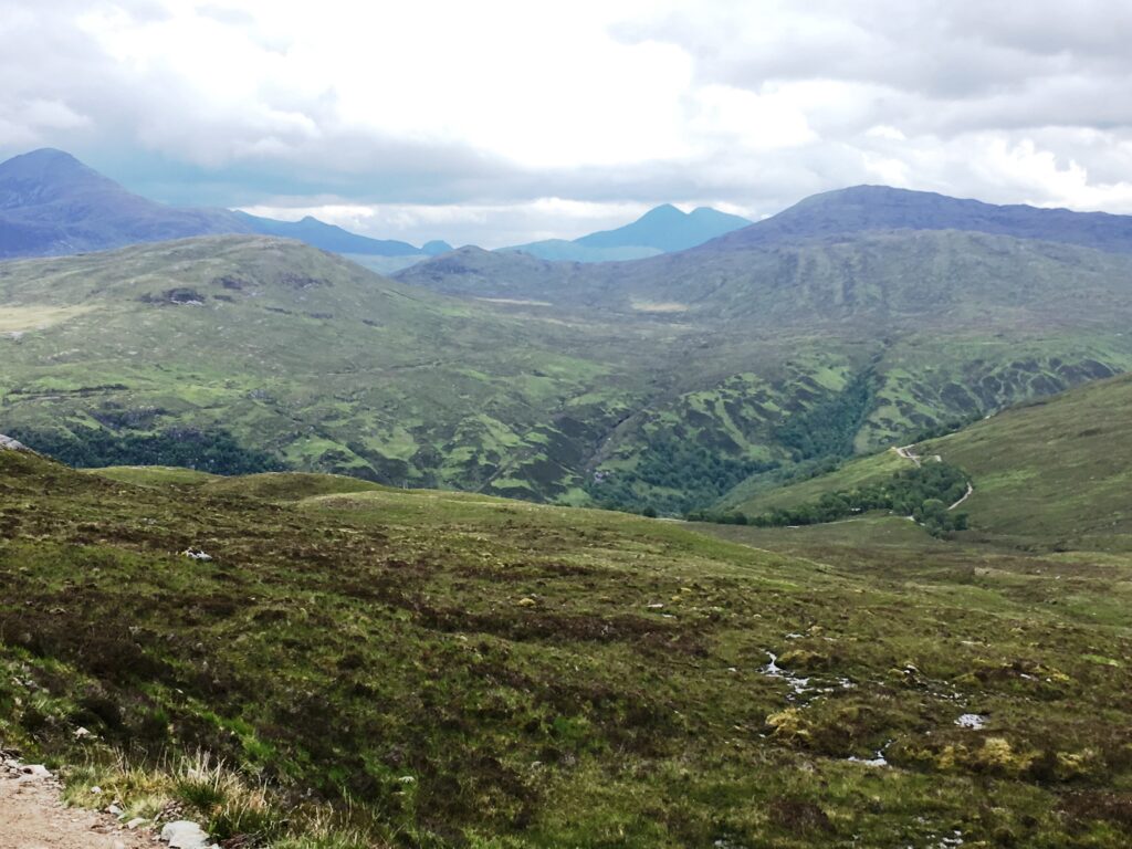
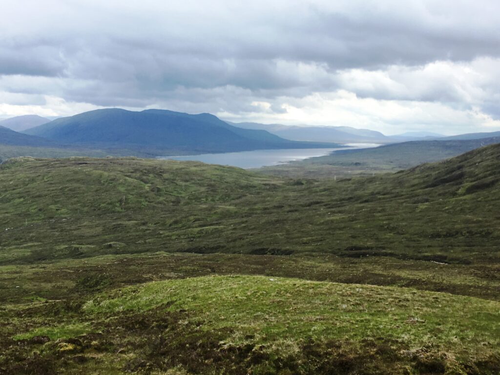
As we approached Kinlochleven we passed by the huge Blackwater Reservoir. This reservoir was created by the Blackwater dam (1905) in order to supply power for the hydroelectric plant which in turn powered the local aluminum smelters. Kinlochleven, a major producer of aluminum, was the first place in the world to have every house connected to electric power. The hydroelectric plant still runs and is a major part of the economy.
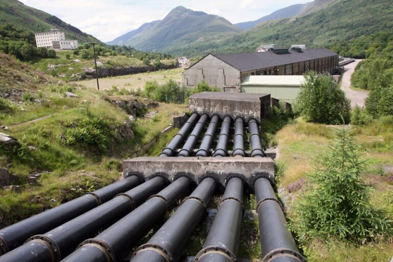
As we continued towards Kinlochleven we walked alongside huge pipes that that carry the water from the reservoir to the hydroelectric power station.
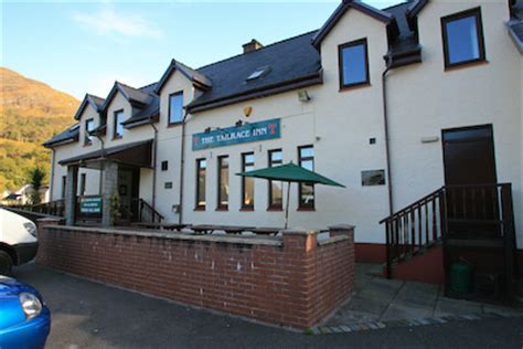
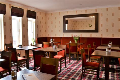
We arrived in Kinlochleven in an absolute downpour. Once we arrived in town we actually got a lift to our B&B, which was just a few blocks away. This being Scotland, once we reached our B&B the weather cleared and we had a pleasant walk back to our dinner at the Tailrace Inn.
Day 7 Kinlochleven to Fort William
- Distance: 20.0 miles
- Weather: mostly sunshine with occasional rain
- Highlights: more stunning views, Dun Deardail (an iron-age fort), a lovely detour by way of Cow Hill, and finally arriving in Fort William.
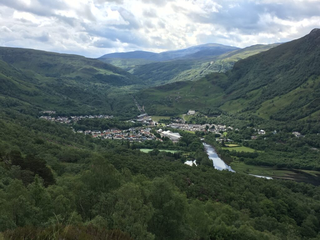
As we started our longest and wettest day we had a steep climb that provided us with some impressive views of Kinlochleven.
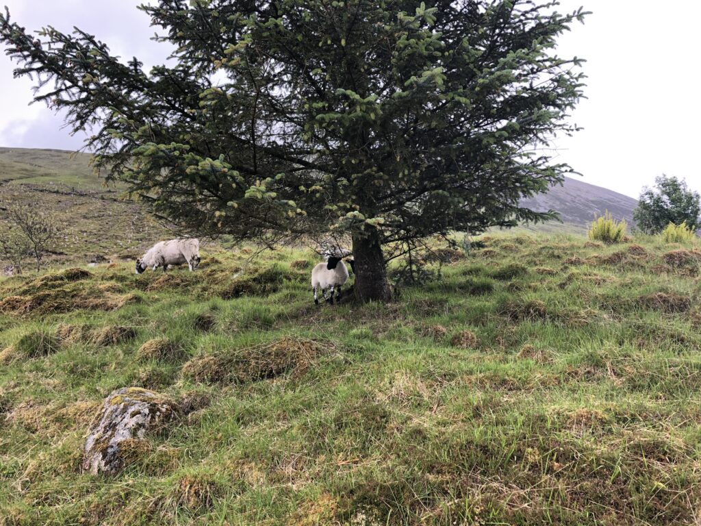
The walking was fairly easy but sometimes wet. In the middle of one misty drizzle we found these sheep sheltering under a fir tree.
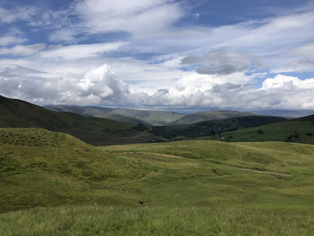
Thankfully the weather cleared and the sun came out, allowing us to enjoy the stunning scenery. Walking through Larigmor (“great pass”), we found each new bend led to new vistas.
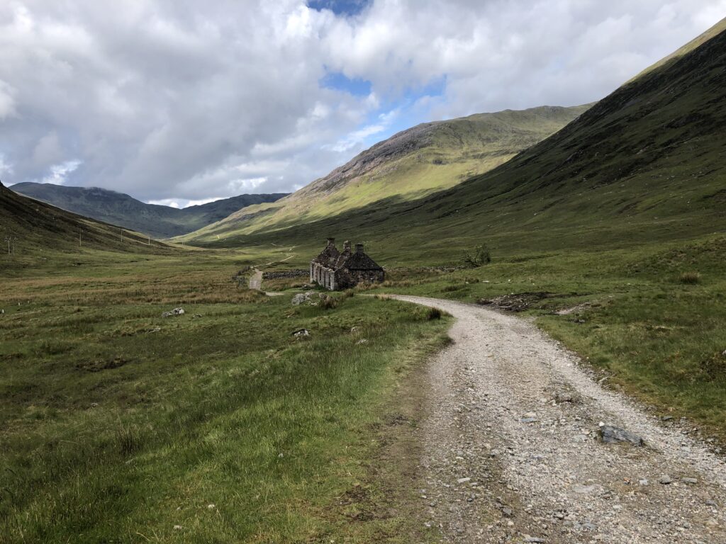
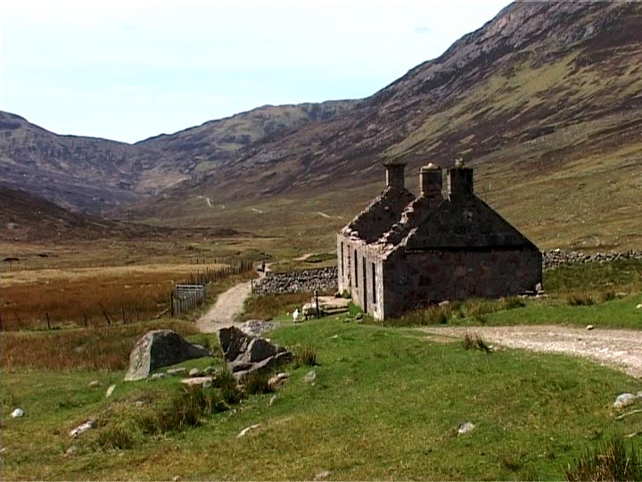
This beautiful derelict building on the right is also named “Larigmor”. Our reaction to this remote cottage was similar to our wonder ato Ba Cottage — who would have lived there, and why? The Highlands are truly spectacular!
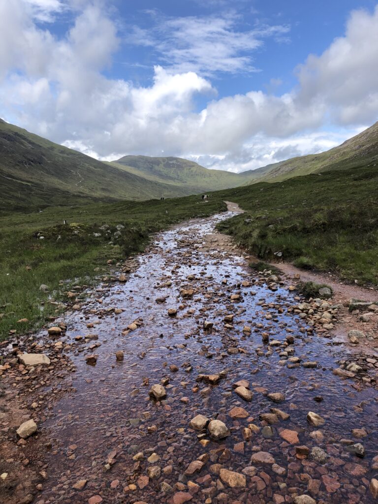
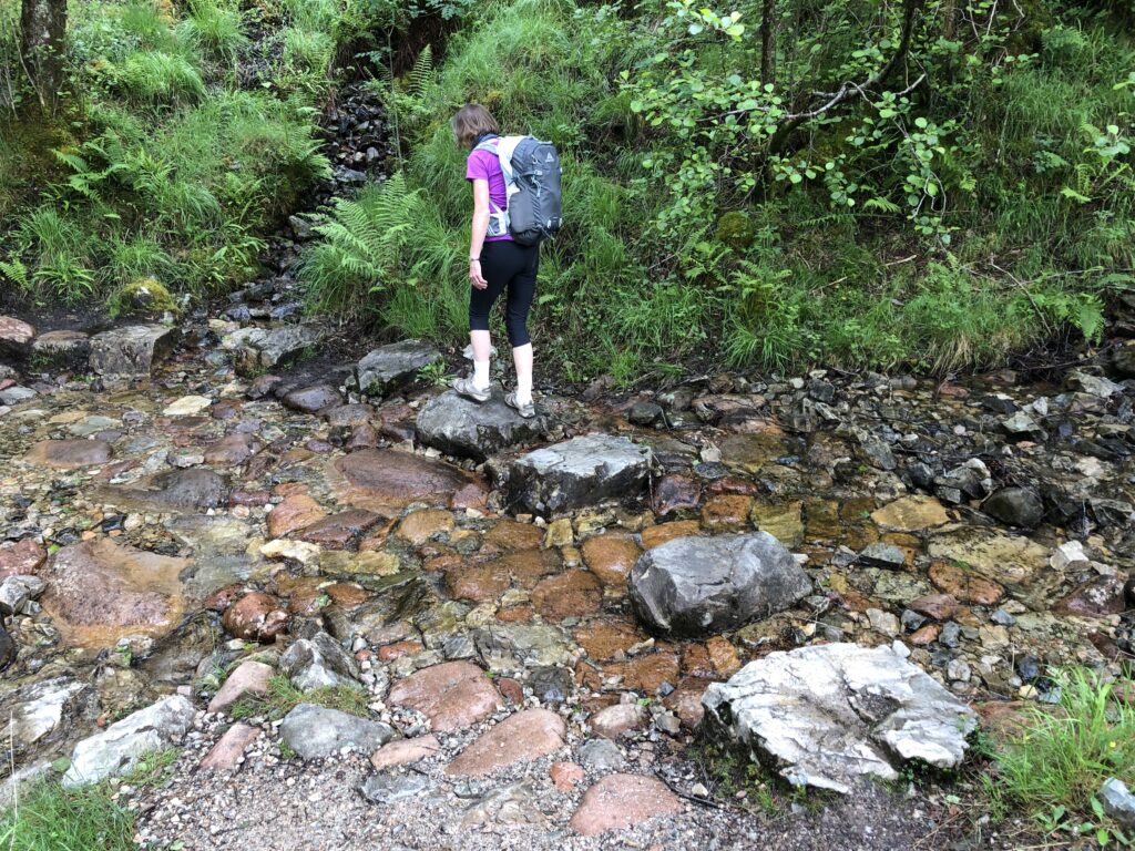
Yes, in some places the path closely resembled a shallow river. By some careful rock-hopping, however, we managed to keep our feet dry.
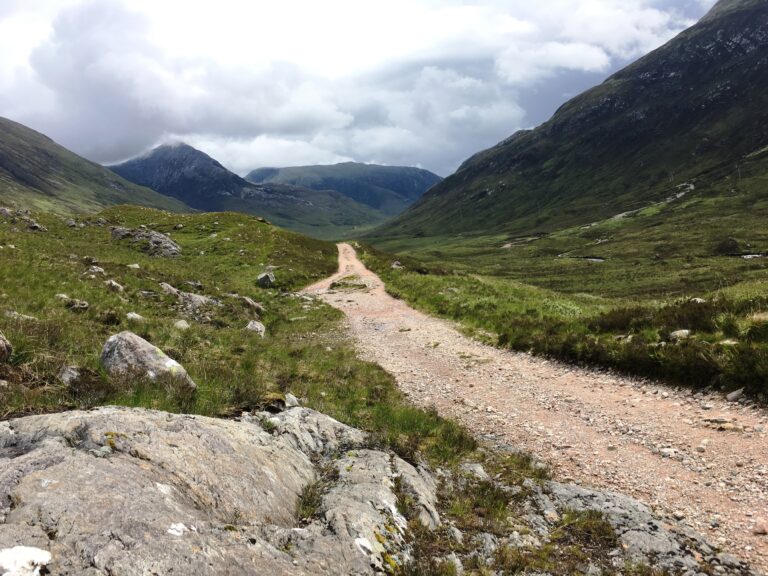
Around every corner there was a new view. The mountains were stark, barren, and breathtaking.
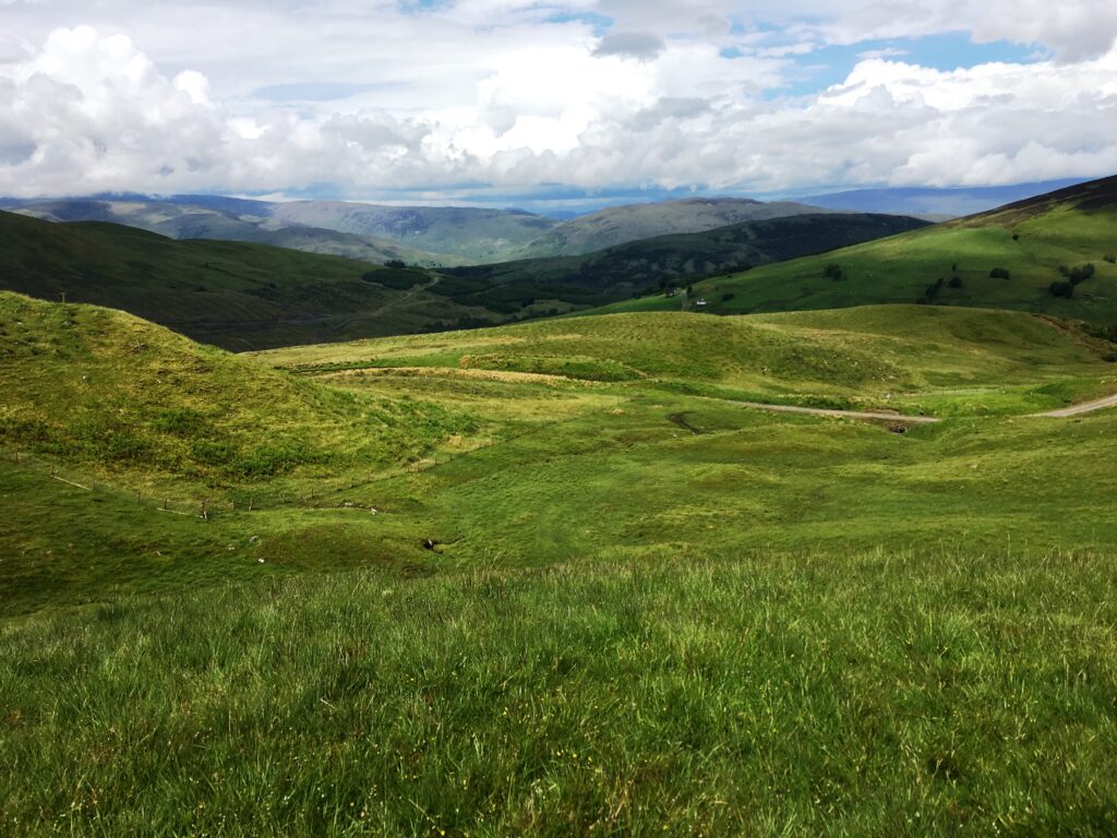
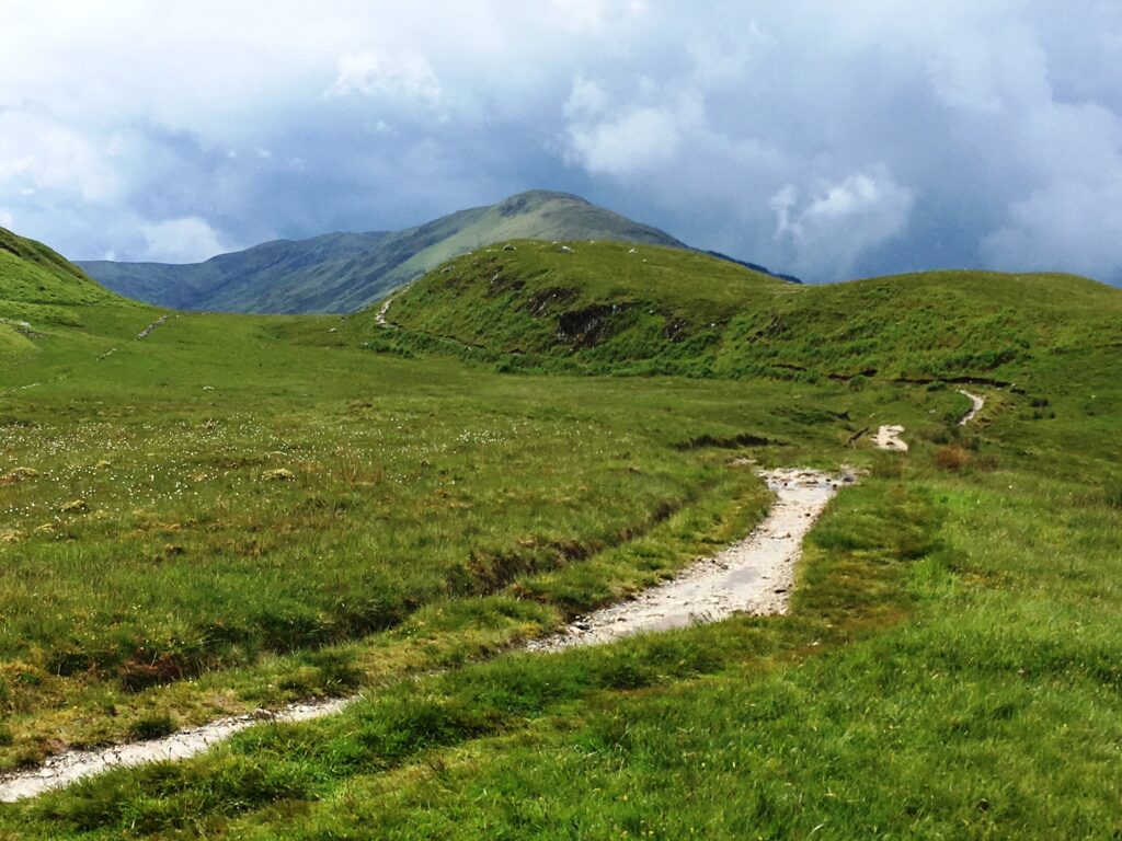
We didn’t find a bench for lunch, but on the highest part of the trail the clouds rolled away and we found a small log to sit on. What a gift — the most amazing views of the entire week and enough sunshine to enjoy them!
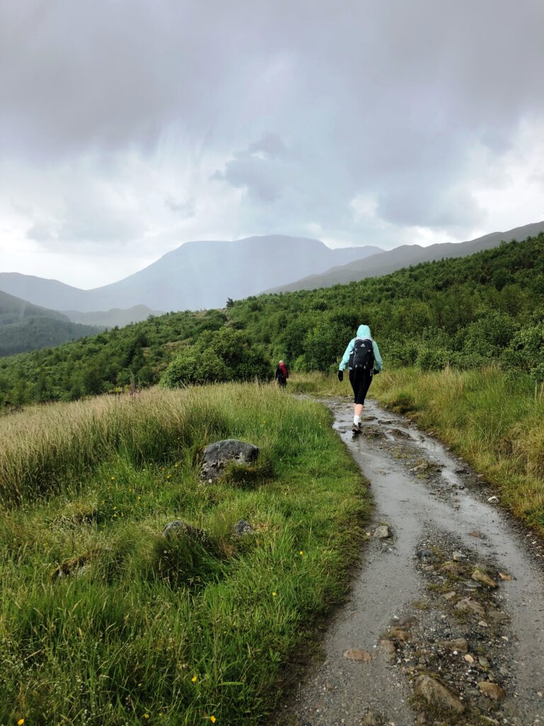
When we rounded one bend we came upon Ben Nevis, the tallest mountain in the United Kingdom. We couldn’t miss it — a huge massif practically front-and-center along our path.
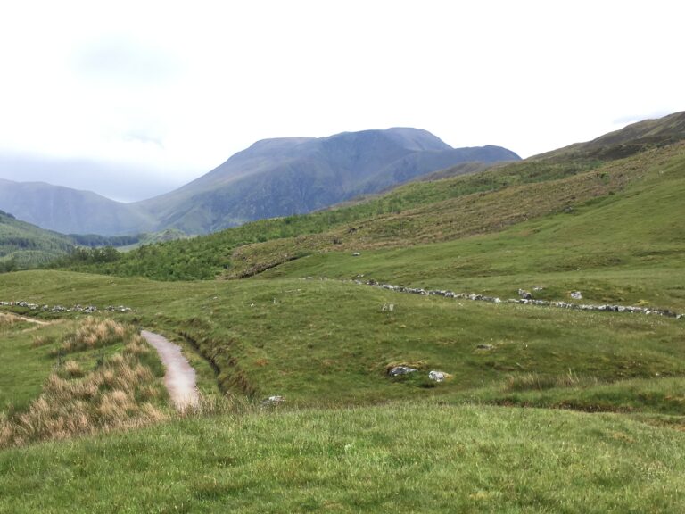
Given the misty weather, we were not even hoping to catch a glimpse of the summit of Ben Nevis, but there it was! The unexpected view was a real joy.
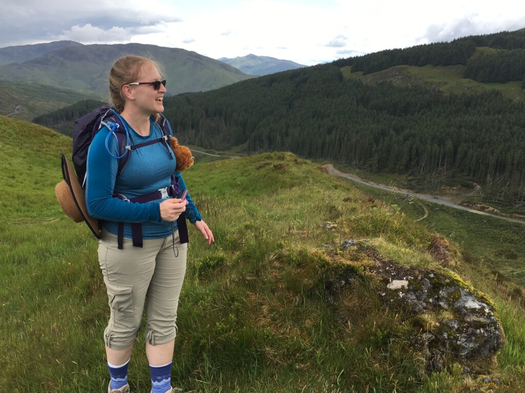
Despite our tired feet, we decided to do the extra climb up to Dun Deardail, a mysterious vitrified iron-age fort with commanding views of the nearby mountains as well as Fort William and Ben Nevis. Seeing stones that were originally laid in place over 2000 years ago was thought-provoking!
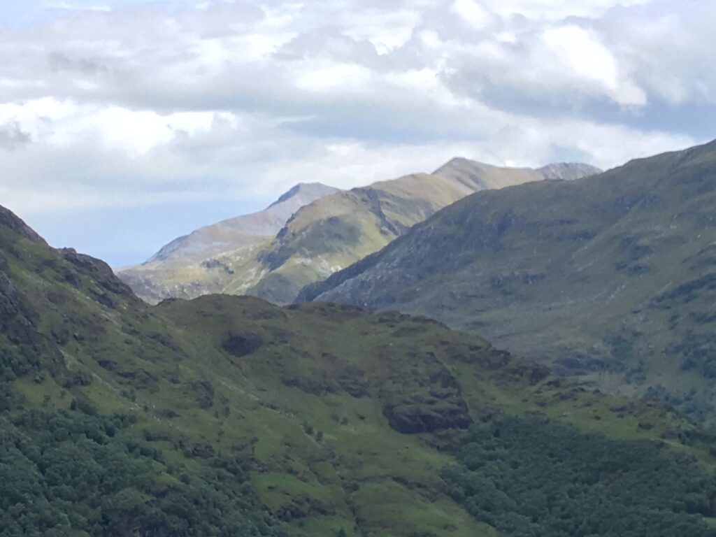
The views were rocky, desolate, barren, awe-inspring, and unspeakably beautiful.
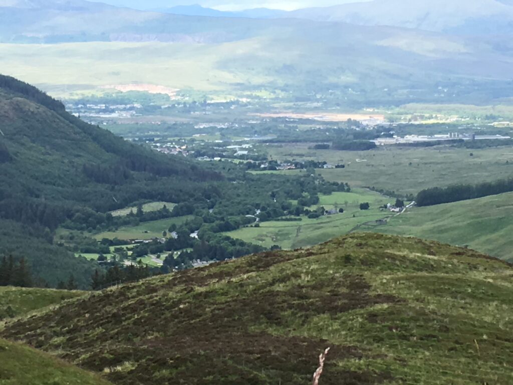
As we hiked down, we began to see signs of Fort William and civilization. We knew that a good cup of tea was not too far away!
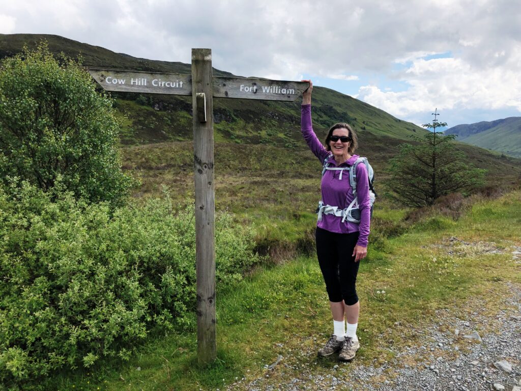
The last two miles of the official West Highland Way are along the traffic-laden route A82. Instead of ending the Way by trudging along pavement, we decided to descend to Fort William by way of Cow Hill. This long-cut added some miles but provided an appropriately scenic end to the West Highland Way. We highly recommend this approach to Fort William!
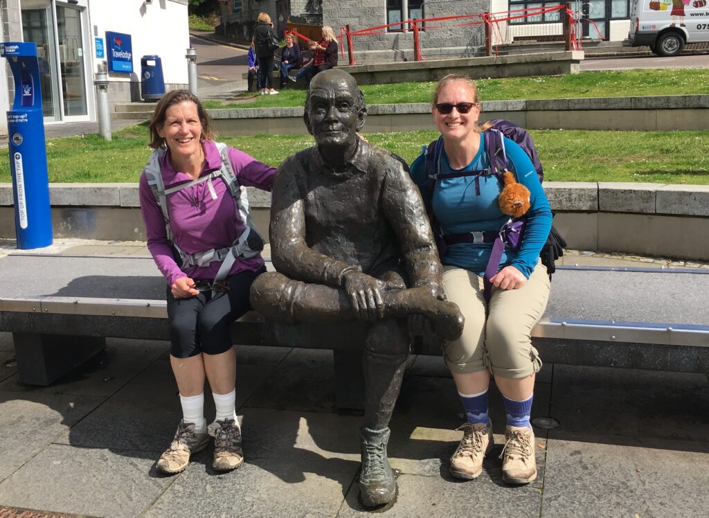
We did it! We walked the entire West Highland Way! We were greeted in Fort William by a sign in Gaelic and the statue of the man with tired feet.
Fort William is actually older than its name might suggest. Originally a wooden fort built in 1654 as an aid in controlling the Highland clans, it was renamed numerous times over the next few hundred years. The garrison was later used when the English were suppressing the Jacobite uprisings in the 18th century. Nowadays Fort William, with its location near both Ben Nevis and Loch Linnhe, has reconfigured itself as a base for outdoor leisure activities.
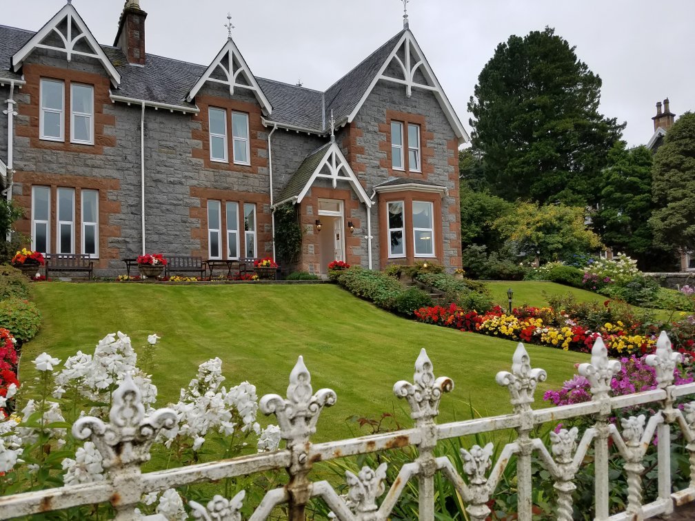
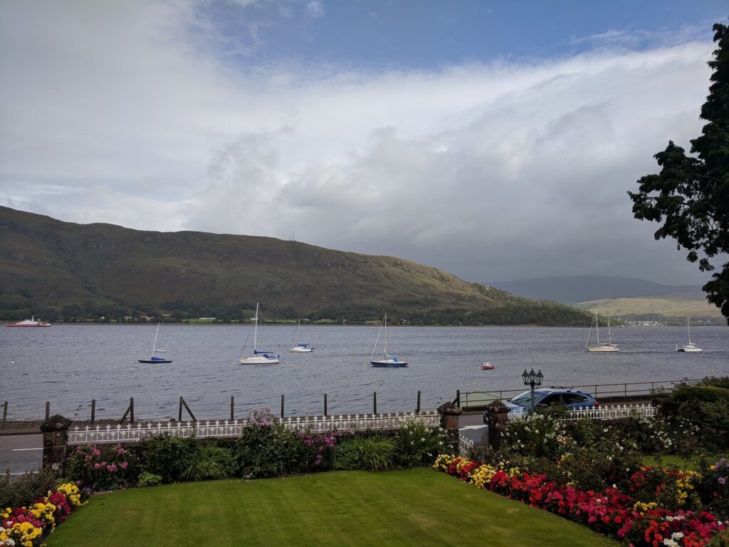
West Highland Way Summary
Hiking the West Highland Way was a perfect holiday.
The distances were manageable, the path well-marked, the hiking enjoyable, and the scenery magnificent. The combination of gorgeous views and a window into the history and culture of the Western Highlands made for an unforgettable vacation.
I strongly recommend using a travel service to set up the accommodations and arrange for luggage transport. Having Macs Adventures set everything up for us made the logistics simple. All we had to do was enjoy the walk!

Such a wonderful and memorable vacation!
