We could spend our life being afraid of the hypothetical, or we can just be brave and live life anyway.
~Dolly Mahtani
Hike from Dahlgren Backpacker Campground to Raven Rock Shelter
AT miles: 18.0
Ascent: 4014′
Descent: 3378′
Weather: Sunny and HOT (near 90)
Sightings: a deer, a chipmunk, and lots of toads
High points: Not being afraid even though I was hiking solo
Today divided into five parts, all totally different.
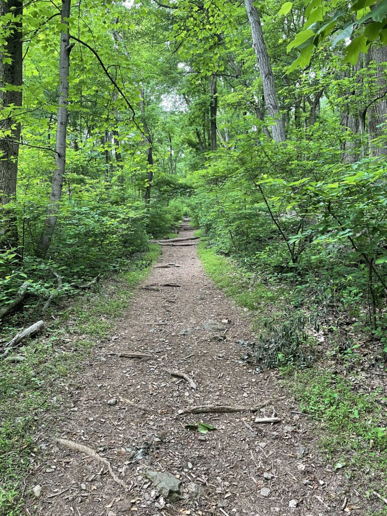
Since today was supposed to be another scorcher, I got an early start this morning. The trail was wide and smooth.
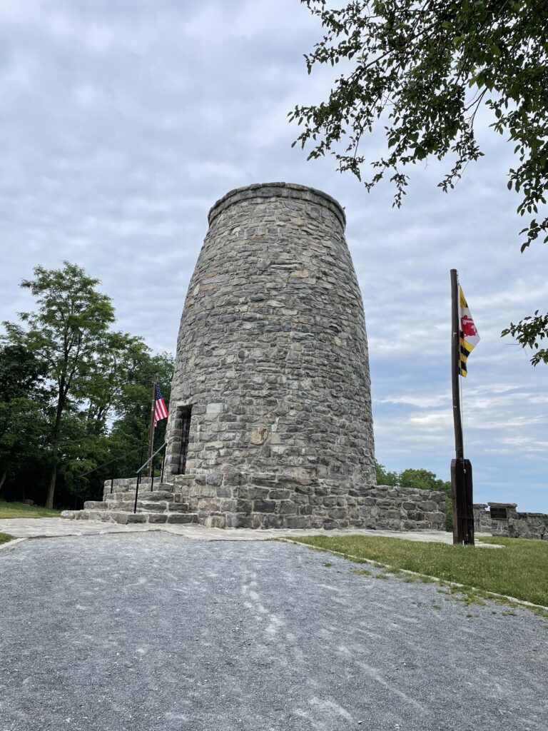
I walked past the very first Washington monument, built in 1827.
The trail continued to be smooth. Two hikers could have walked abreast for most of the morning.
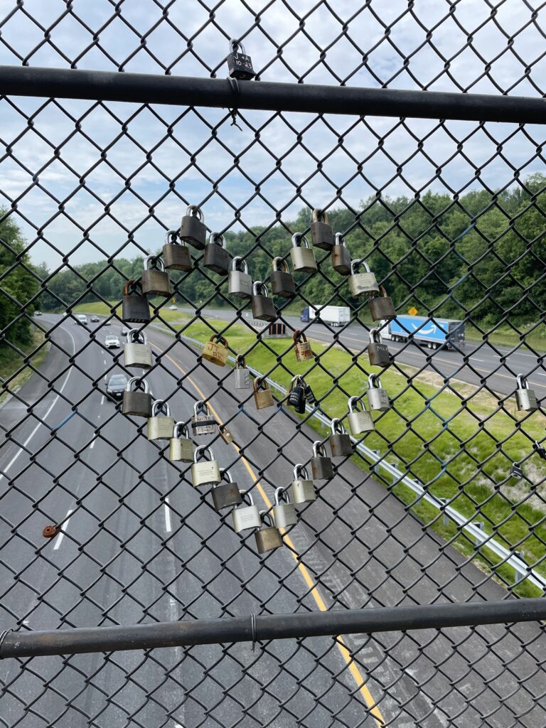
I crossed over Route 70 in basically a cage. There must be some cultural phenomenon that I do not understand, but there were an amazing number of padlocks locked onto the fencing. Here is a group of padlocks shaped into a heart. Modern art?
Then the trail went up to Annapolis Rocks. It was quite steep, but steps were put in the trail so it was quite manageable.
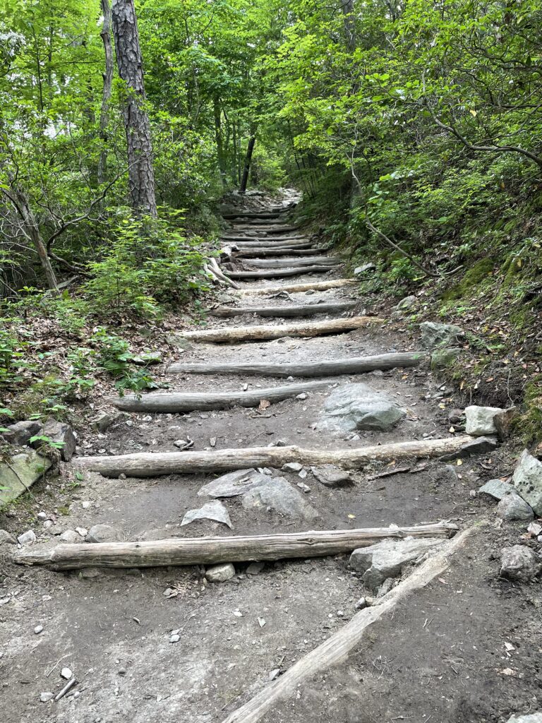
Supposedly Annapolis Rocks has a great view, but it is a quarter-mile off the trail and I was racing to arrive at my shelter before the thunderstorm did, so I skipped the view.
I was beginning to think that the trail would be an easy stroll when very suddenly there were rocks and poison ivy everywhere. I slowed way down and tiptoed through the mess, keeping a wary eye out for snakes. that was probably the most difficult section of the AT to date. (I’ve had more difficult 100 feet and 200 feet sections, but nothing like this one that went on for probably about a mile.)
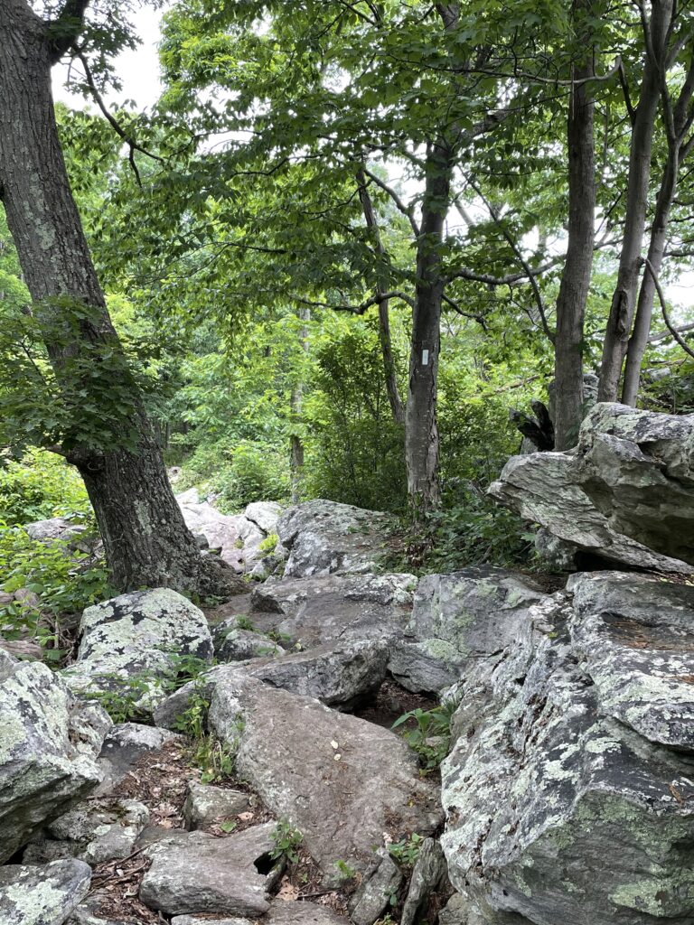
Just when I was beginning to despair of ever getting anywhere, suddenly I was walking through farm fields! After the hair-raising rocks, the farm fields were wonderful–level and easy footing.
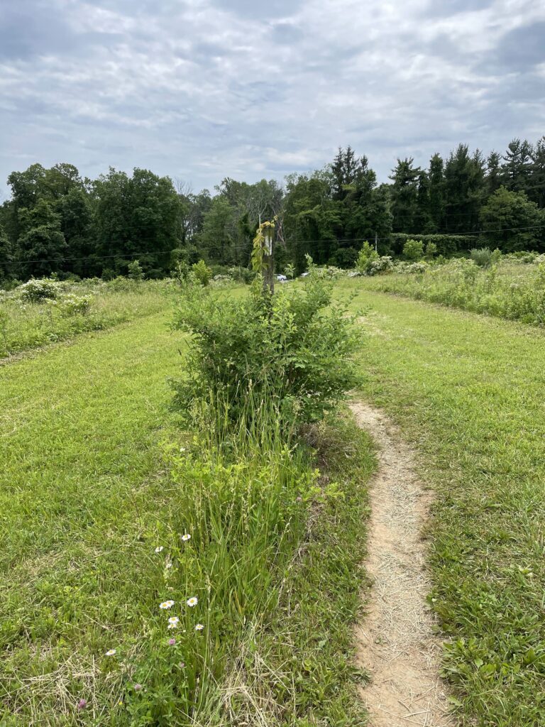
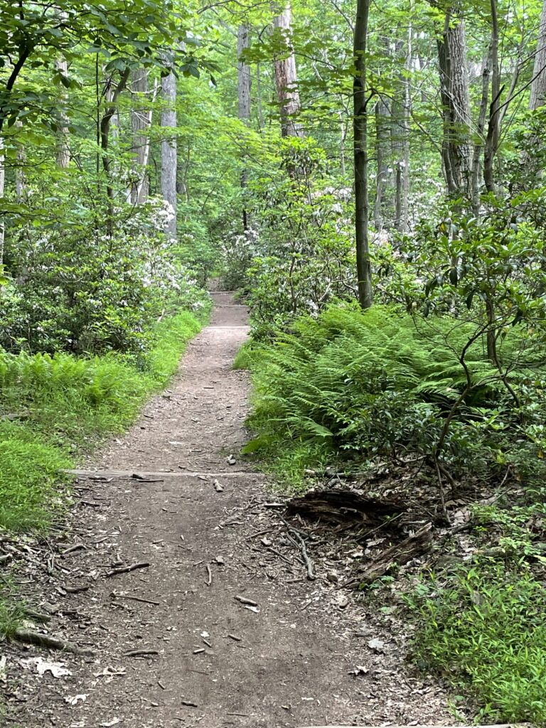
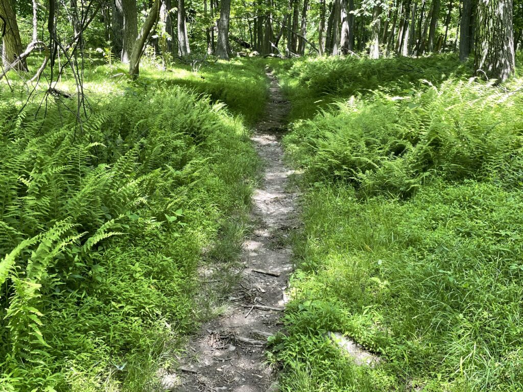
It was hot, and as far as I was concerned the trail could’ve just stayed like that until I reached my shelter, but it didn’t. Trails are like that! There was a very steep and rocky downhill to MD Route 17, but this was not nearly as bad as the prior section. Right next to Route 17 I crossed Antietam Creek, which made me realize that there were lots more Civil War sites in this area! On the other side of the road the trail ascended even more steeply. I kept on stopping because I was so hot. But eventually I did get to the top and the last half mile before the shelter was an easy stroll through open woods with ferns. Just lovely!
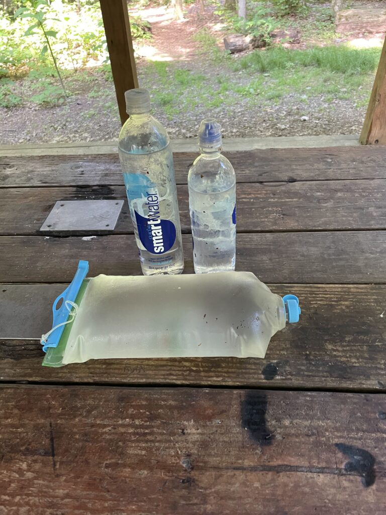
Most shelters have water, either a spring or a stream, within a tenth (or two tenths) of a mile of the shelter, but this shelter is very special. The water is 4/10 of a mile away, and getting there involves a steep descent, which means that you need to then ascend the same distance carrying lots of full water bottles. Since it is so hot and I didn’t want to do this climb twice, I carried both my dirty water bag and my clean water bottles and did some filtering at the spring. This picture may just look like a sack and two water bottles, but it represents a lot of work! I can sleep easy knowing that tomorrow morning I will have enough water to get me to my next water source.
Today is a great day for a long walk in the woods!
Good job getting through that long, difficult section!!! Beautiful pictures. Let us know if you find out the mystery of the padlocks.
Lovely, lovely scenery and wow— I have a renewed appreciation for safe drinking water. Saw your supply that you worked so hard to acquire and filtrate. 💦 🚿
I had never heard about or seen the original Washington Monument. Nice pix. I will google it. Thanks, Gwen, for such an interesting blog. Margie