“The crickets felt it was their duty to warn everybody that summertime cannot last for ever. Even on the most beautiful days in the whole year – the days when summer is changing into autumn – the crickets spread the rumour of sadness and change.”
~E.B. White, ‘Charlotte’s Web’
August 19, 2021
Hike from Katahdin Stream to Abol Bridge (southbound in Baxter State Park, Maine)
AT Miles: 10.1
Ascent: 254’
Descent: 730’
Weather: muggy, partly cloudy, with temps in the low 80’s
Sightings: a seagull
High points: all the waterfalls
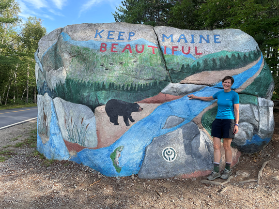
On our way to Katahdin Stream we drove by a beautifully painted rock. Apparently until a few decades ago this rock was a victim of unsightly graffiti. One local family decided to reclaim the rock. They painted it and maintained it for years and finally passed the rock maintenance duty to another family. Clearly the current maintainers take their job seriously!
Baxter State Park is a HUGE tract of land (209,000 acres!) donated by a governor of Maine to the people of Maine. It’s primary goal is preserving the wilderness, and its secondary goal is providing the people of Maine with recreational opportunities. The park has very limited access, and I appreciate the opportunity to visit this gorgeous wilderness.
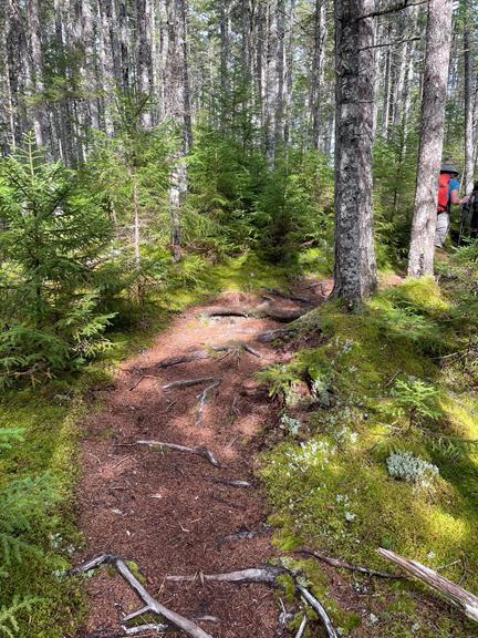
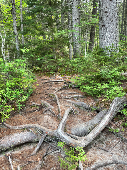
We started our hike at Katahdin Stream. The path was gentle and mossy, surrounded by a beautiful pine forest.
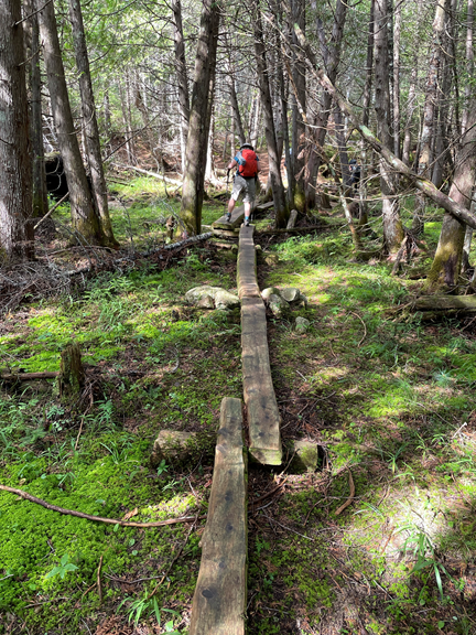
I really dislike walking on bogboards. Maybe I didn’t spend enough time playing on a balance beam as a kid? But this morning I needed to carefully walk along many bogboards.
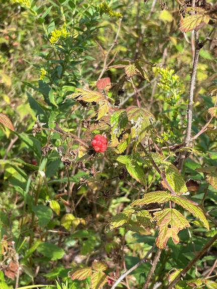
We walked past a large patch of ripe raspberries, and I helped myself!
The trail continued flat and level and sun-dappled.
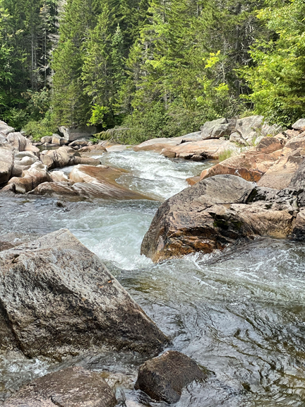
We stopped for a snack at Little Niagara Falls.
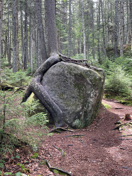
Growing on top of the large boulder and sending its roots feet down through the air down to the earth, this tree is the very picture of “determination“!
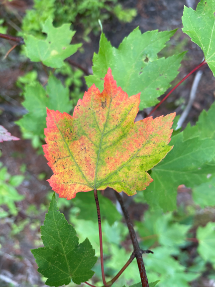
We are in Maine, and fall comes early in the north country. Occasionally I see harbingers of the coming cold weather.
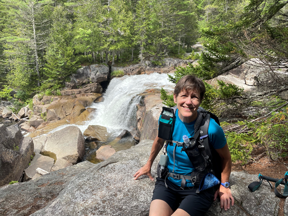
We had our next stop at Big Niagara Falls.
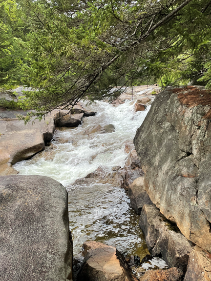
And we walked by yet another waterfall!
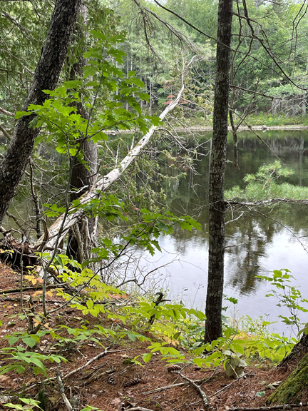
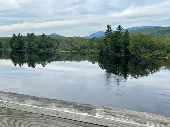
For the rest of the day the trail followed the banks of the Penobscot River. In this picture the river looks placid, but the water was actually torrenting downstream at a quick pace.
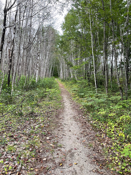
We walked through a birch forest. I have seen many white birches before, but I have never seen an entire forest of them. Apparently there was a forest fire here, and the birch trees took over!
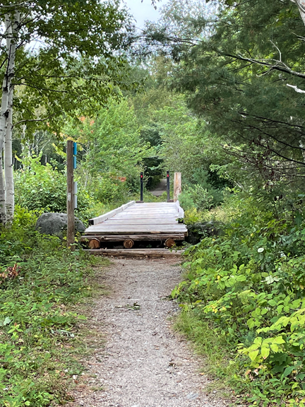
Due to my poor balance, I don’t like bogboards. However, I think very highly of WIDE bogboards (commonly called bridges!).
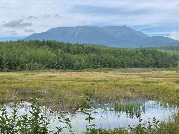
Near the end of our hike we crossed Abol Bridge, notorious for being the place where northbound AT hikers enter Baxter State Park. This bridge provides the absolute best view of Mt Katahdin!
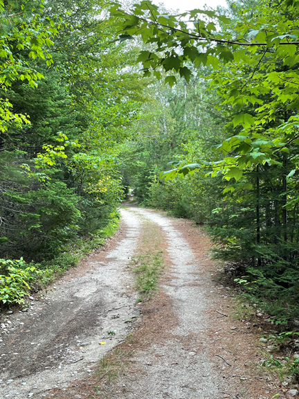
For the next 0.6 miles we followed the dirt road.
On the dirt road we crossed the Penobscot River. It is strange to think that this river empties into the Penobscot Bay, the lower part of which is known as Eggemoggin Reach, and that runs very near my son’s house, which is miles away from this mountainous area!
After a bumpy ride back to the hostel we recovered and showered and had a great meal at a local restaurant. Millinocket is really hurting economically, and I’m glad to contribute something to the local economy!
Today is a great day for a long walk in the woods!
Ohhh to be in Maine! So many gorgeous views plus wild berries !!! We camped in Millinocket after our Allagash paddling trip. Besides campers there were lots of domestic rabbits in residence but running free.
Beautiful pictures!! I hope you won’t be hiking during Henri’s stopover in New England!