April 21, 2022
Ascent: 2636’
Descent: 4081’
Weather: windy and gray but mid-60’s
High points: seeing my hiking partner’s truck at the end of the day
Today was an exhausting day, with two serious ascents and lots of descent.
Bailey Gap Shelter is most of the way up Lone Pine Peak, but after leaving the shelter promptly at 7:00 a.m., I still had a significant climb.
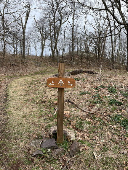
I walked past Wind Rock (4121’), which supposedly has great views, but the clouds were in the way! However, Wind Rock has one of the very rare AT signs that indicate north and south. Usually hikers just rely on the directionless white blazes, and occasionally hikers even end up going the wrong direction for a bit!
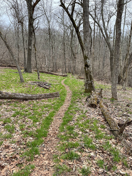
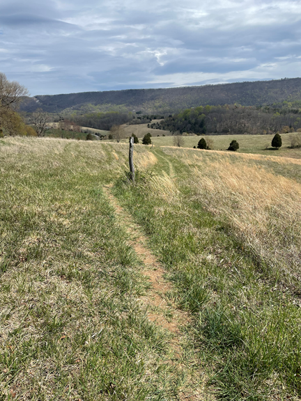
Lined with grass, the trail along the ridge looked very spring-like.
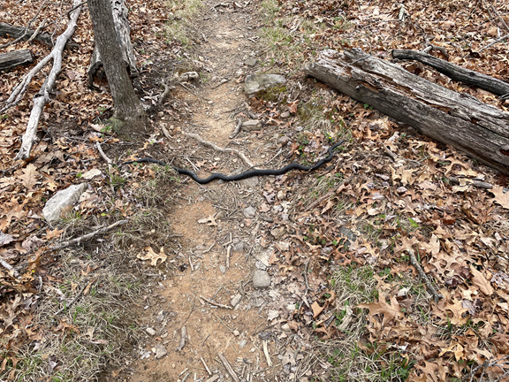
And a black snake scared the wits out of me!
After Lone Pine Peak the trail descended over 2000’.
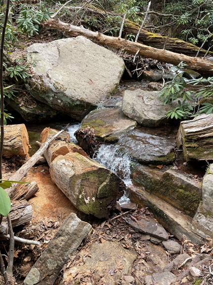
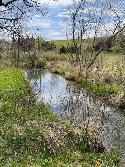
In John’s Creek Valley I had a few interesting stream crossings— but I did manage to keep my feet dry!
I then had a quick ascent of nearly 2000 feet up to Kelly Knob (3735’). You would think I’d be getting used to these rapid ascents, the glorious ridge walk, and then the rapid descent, but the uphill parts are always an unpleasant surprise!
At the top of Kelly Knob (3735’) I got a welcome text from my hiking partner suggesting that we slackpack for the next two days — doing the miles but with just a daypack. I was beat enough that the idea of hiking without 25 pounds on my back made me incredibly happy. I scooted down the mountain in a hurry, passing some of south-western Virginia’s many cows
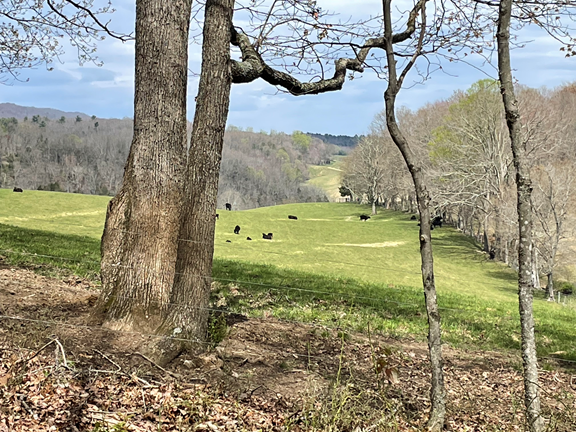
The last part of today’s hike was through some scenic rolling fields, which made for easy and relaxing hiking.
And then I crossed over a stream with a seriously weird name — Sunken Creek!
I met my hiking partner at Rt 42 and we headed back to civilization for the evening.
Today is a great day for a long walk in the woods!